
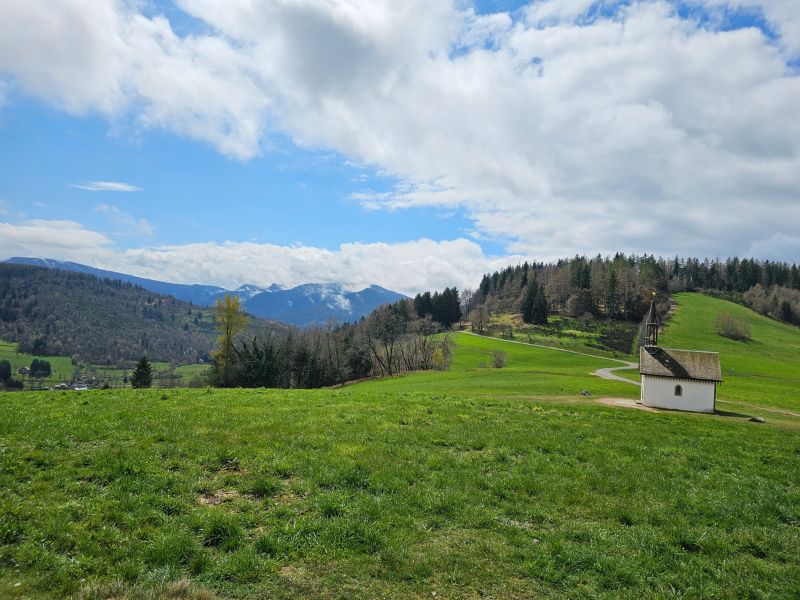
This route between Le Thillot and Saint-Maurice-sur-Moselle is a magnificent long ride in the heart of Haute-Moselle, offering the opportunity to discover several of the region's must-see sites: the Pic des Corbeaux, the Hauts de la Lochère, the Croix de Fresse and the historic site of Hautes-Mynes. This is a very hilly route that skilfully alternates steep climbs and fast descents, ideal for practising relaunching while building up a nice difference in altitude at the end of the course.

- Distance 30.75 km
- Elevation gain 1241 m
- Elevation lost 1241 m
- Min. elevation 486 m
- Max. elevation. 989 m
- Duration (depending on pace) 3h30 à 7h
- Suivre le balisage Trail-running n°12 red + Hiking signs

Find all the routes of the Espace Trail des Ballons des Vosges free of charge on your smartphone using Trail Connect app, in ‘Outdoor Destinations’ section.
Features available :
- Geolocation at any time on the map and elevation profile
- Download data for consultation even in offline mode
- View trail opening status
- Download GPX file
- 'Go to start’ button for easy access to the start of the routes
- ...


the digital trails

![]()
Office de tourisme Communautaire
des Ballons des Hautes Vosges
www.ballons-hautes-Vosges.com
03 56 11 00 90
 Espace Trail des Ballons des Vosges - Parcours - Route 12 - Le tour des Crêtes
Espace Trail des Ballons des Vosges - Parcours - Route 12 - Le tour des Crêtes
Espace Trail des Ballons des Vosges - Parcours - Route 12 - Le tour des Crêtes
Espace Trail des Ballons des Vosges - Parcours - Route 12 - Le tour des Crêtes
Espace Trail des Ballons des Vosges - Parcours - Route 12 - Le tour des Crêtes

