
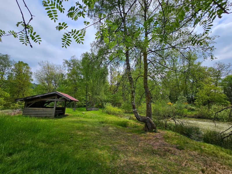
After a warm-up section through the village of Le Thillot, the route quickly climbs through the forest to the shelter of the Pic des Corbeaux, just below the famous viewpoint of the same name, which is well worth the diversions. After a pleasant descent to Fresse-sur-Moselle, the climb resumes towards the Etang du Frac, then continues to the Col de Couard, still in the heart of the forest. At the halfway point, the historic site of Hautes-Mynes offers a cultural break before moving on to a more rolling section via Col des Croix and Pré Martin. The western part of the route takes you over a magnificent plateau on the edge of the 1000 ponds, before a gentle descent to Le Thillot brings this superb loop to a close.

- Distance 22.18 km
- Elevation gain 870 m
- Elevation lost 870 m
- Min. elevation 486 m
- Max. elevation. 781 m
- Duration (depending on pace) 2h30 à 5h
- Suivre le balisage Trail-running n°9 red + Hiking signs

Find all the routes of the Espace Trail des Ballons des Vosges free of charge on your smartphone using Trail Connect app, in ‘Outdoor Destinations’ section.
Features available :
- Geolocation at any time on the map and elevation profile
- Download data for consultation even in offline mode
- View trail opening status
- Download GPX file
- 'Go to start’ button for easy access to the start of the routes
- ...


the digital trails

![]()
Office de tourisme Communautaire
des Ballons des Hautes Vosges
www.ballons-hautes-Vosges.com
03 56 11 00 90
 Espace Trail des Ballons des Vosges - Parcours - Route 9 - La cité des tanneurs
Espace Trail des Ballons des Vosges - Parcours - Route 9 - La cité des tanneurs
Espace Trail des Ballons des Vosges - Parcours - Route 9 - La cité des tanneurs
Espace Trail des Ballons des Vosges - Parcours - Route 9 - La cité des tanneurs
Espace Trail des Ballons des Vosges - Parcours - Route 9 - La cité des tanneurs

