
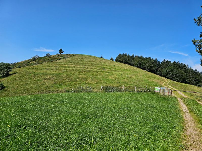
Starting from the village of Le Ménil, this is a great long trail in the heart of the Vosges forests. The first part of the route climbs steadily to the first high point, the Tête des Champs. From here you can enjoy the rolling countryside of the region. The second part of the route, more in the undergrowth, will plunge you into the atmosphere of the dense fir forests. Once over the Col de Rochelotte, you will descend to the resort of Larcenaire before making a final effort to reach the Col de la Lochère and the Hauts de la Lochère before finishing the route on a very pleasant single-track path.

- Distance 24.34 km
- Elevation gain 920 m
- Elevation lost 920 m
- Min. elevation 525 m
- Max. elevation. 989 m
- Duration (depending on pace) 2h45 à 5h30
- Suivre le balisage Trail-running n°11 red + Hiking signs

Find all the routes of the Espace Trail des Ballons des Vosges free of charge on your smartphone using Trail Connect app, in ‘Outdoor Destinations’ section.
Features available :
- Geolocation at any time on the map and elevation profile
- Download data for consultation even in offline mode
- View trail opening status
- Download GPX file
- 'Go to start’ button for easy access to the start of the routes
- ...


the digital trails

![]()
Office de tourisme Communautaire
des Ballons des Hautes Vosges
www.ballons-hautes-Vosges.com
03 56 11 00 90
 Espace Trail des Ballons des Vosges - Parcours - Route 11 - La Tête des Corbeaux
Espace Trail des Ballons des Vosges - Parcours - Route 11 - La Tête des Corbeaux
Espace Trail des Ballons des Vosges - Parcours - Route 11 - La Tête des Corbeaux
Espace Trail des Ballons des Vosges - Parcours - Route 11 - La Tête des Corbeaux
Espace Trail des Ballons des Vosges - Parcours - Route 11 - La Tête des Corbeaux

