
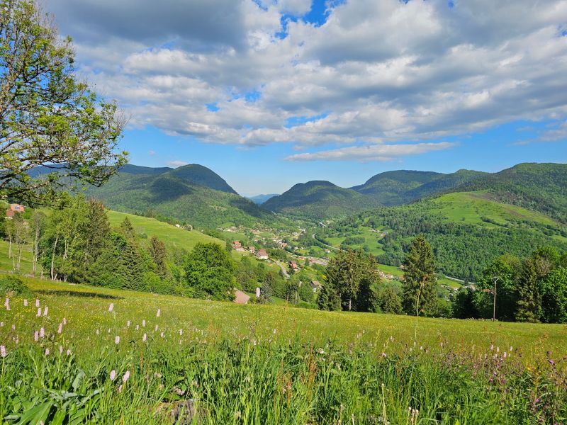
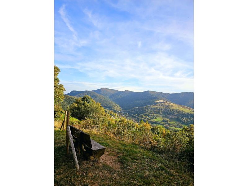
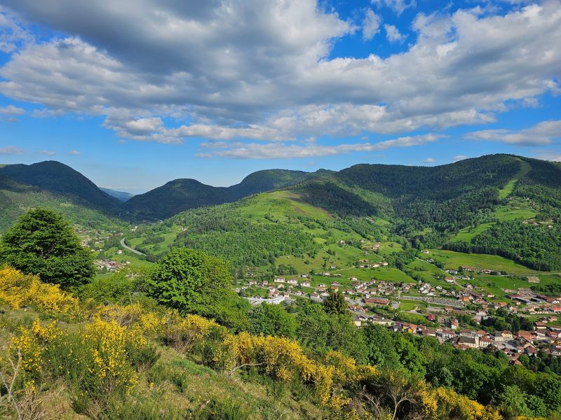
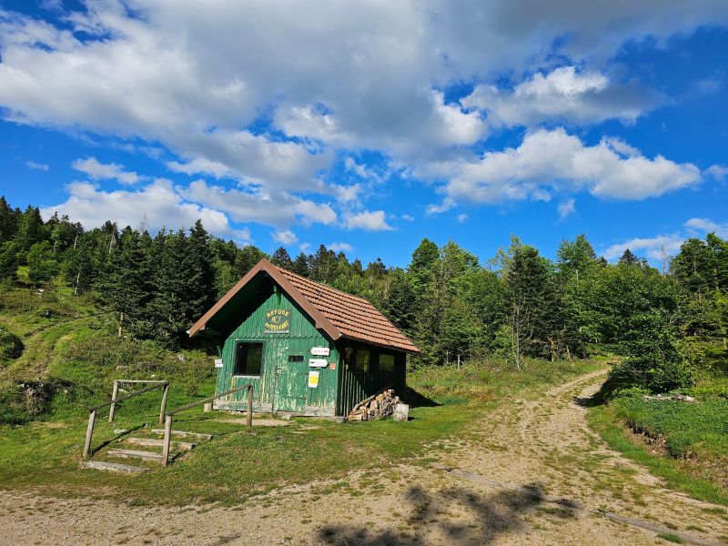
This is a short but demanding route ! Leaving from the Bussang Tourist Office, you quickly get to the heart of the matter as you leave the village, with almost 4km of steep climbing that takes you up to the Peut-Haut shelter. Once you've climbed all the way up, you'll head around the Tête des Corbeaux towards the Col de Rochelotte on the wide forest track. The descent takes you to the small resort of Larcenaire along some superb forest paths. Finally, you plunge back to your starting point to complete this intense tour!

- Distance 11.82 km
- Elevation gain 490 m
- Elevation lost 490 m
- Min. elevation 597 m
- Max. elevation. 1034 m
- Duration (depending on pace) 1h30 à 3h
- Suivre le balisage Trail-running n°3 blue + Hiking

Find all the routes of the Espace Trail des Ballons des Vosges free of charge on your smartphone using Trail Connect app, in ‘Outdoor Destinations’ section.
Features available :
- Geolocation at any time on the map and elevation profile
- Download data for consultation even in offline mode
- View trail opening status
- Download GPX file
- 'Go to start’ button for easy access to the start of the routes
- ...


the digital trails

![]()
Office de tourisme Communautaire
des Ballons des Hautes Vosges
www.ballons-hautes-Vosges.com
03 56 11 00 90
 Espace Trail des Ballons des Vosges - Parcours - Route 3 - Le Larcenaire
Espace Trail des Ballons des Vosges - Parcours - Route 3 - Le Larcenaire
Espace Trail des Ballons des Vosges - Parcours - Route 3 - Le Larcenaire
Espace Trail des Ballons des Vosges - Parcours - Route 3 - Le Larcenaire
Espace Trail des Ballons des Vosges - Parcours - Route 3 - Le Larcenaire

