
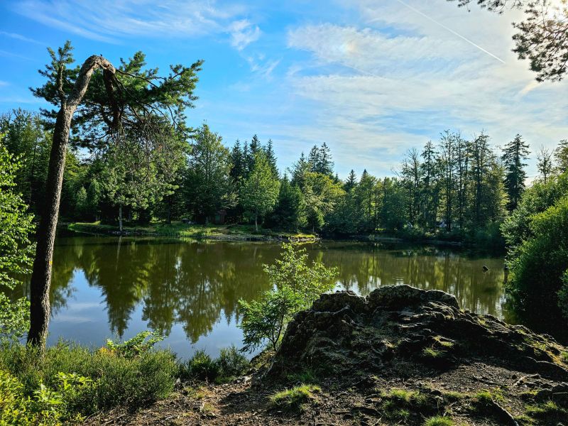
A beautiful route starting from the village of Ramonchamp, with a reasonable gradient that allows you to vary your pace. The first part of this loop climbs steadily towards Haut de Grammont, mainly through woodland, on rather narrow and wild paths. The climb continues for a few kilometres before reaching the plateau des étangs, offering breathtaking views. The route then skirts the Étang de la Plancherotte, the Noirs Étangs, then the Étang Noir, before a final effort towards the Haut de la Parère. The descent to the village brings the loop to a pleasant close.

- Distance 14.57 km
- Elevation gain 450 m
- Elevation lost 450 m
- Min. elevation 465 m
- Max. elevation. 770 m
- Duration (depending on pace) 1h40 à 3h20
- Suivre le balisage Trail-running n°5 blue + Hiking

Find all the routes of the Espace Trail des Ballons des Vosges free of charge on your smartphone using Trail Connect app, in ‘Outdoor Destinations’ section.
Features available :
- Geolocation at any time on the map and elevation profile
- Download data for consultation even in offline mode
- View trail opening status
- Download GPX file
- 'Go to start’ button for easy access to the start of the routes
- ...


the digital trails

![]()
Office de tourisme Communautaire
des Ballons des Hautes Vosges
www.ballons-hautes-Vosges.com
03 56 11 00 90
 Espace Trail des Ballons des Vosges - Parcours - Route 5 - Les étangs
Espace Trail des Ballons des Vosges - Parcours - Route 5 - Les étangs
Espace Trail des Ballons des Vosges - Parcours - Route 5 - Les étangs
Espace Trail des Ballons des Vosges - Parcours - Route 5 - Les étangs
Espace Trail des Ballons des Vosges - Parcours - Route 5 - Les étangs

