
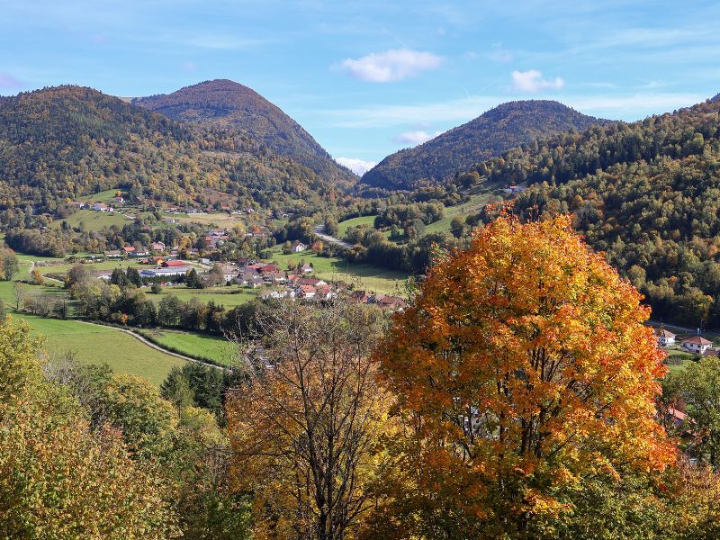
Leaving from Fresse-sur-Moselle, enjoy an hilly adventure between forests and panoramic views of the Ballons. After climbing to the Pic des Corbeaux, the route joins the Haut de la Lochère, then a track takes you between the cols de la Lochère and Rochelotte. You then descend to Bussang before climbing back up to the Borne des Trois Communes. Once past the Vallon refuge, a final descent brings the tour to a close, with a breathtaking view over the valley.

- Distance 22.39 km
- Elevation gain 893 m
- Elevation lost 893 m
- Min. elevation 516 m
- Max. elevation. 966 m
- Duration (depending on pace) 2h40 à 5h20
- Suivre le balisage Trail-running n°10 red + Hiking signs

Find all the routes of the Espace Trail des Ballons des Vosges free of charge on your smartphone using Trail Connect app, in ‘Outdoor Destinations’ section.
Features available :
- Geolocation at any time on the map and elevation profile
- Download data for consultation even in offline mode
- View trail opening status
- Download GPX file
- 'Go to start’ button for easy access to the start of the routes
- ...


the digital trails

![]()
Office de tourisme Communautaire
des Ballons des Hautes Vosges
www.ballons-hautes-Vosges.com
03 56 11 00 90
 Espace Trail des Ballons des Vosges - Parcours - Route 10 - La p'tite trotte des Hautes Vosges
Espace Trail des Ballons des Vosges - Parcours - Route 10 - La p'tite trotte des Hautes Vosges
Espace Trail des Ballons des Vosges - Parcours - Route 10 - La p'tite trotte des Hautes Vosges
Espace Trail des Ballons des Vosges - Parcours - Route 10 - La p'tite trotte des Hautes Vosges
Espace Trail des Ballons des Vosges - Parcours - Route 10 - La p'tite trotte des Hautes Vosges

