

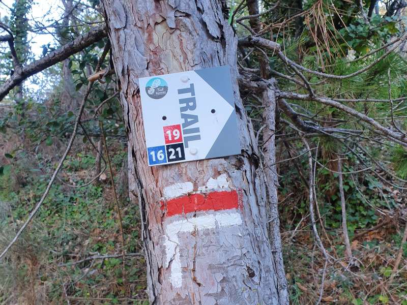
To orient you during your run, routes are equipped with trail directional markers. Each marker is printed with the number(s) of the itinerary(s) to be followed with their colour of difficulty (green - blue - red - black) or their particularity (for example : orange = specific training workshop).
The trail-running markers are placed in a regular way, at each directional change. Between two trail directional markers, follow the existing hiking markers.
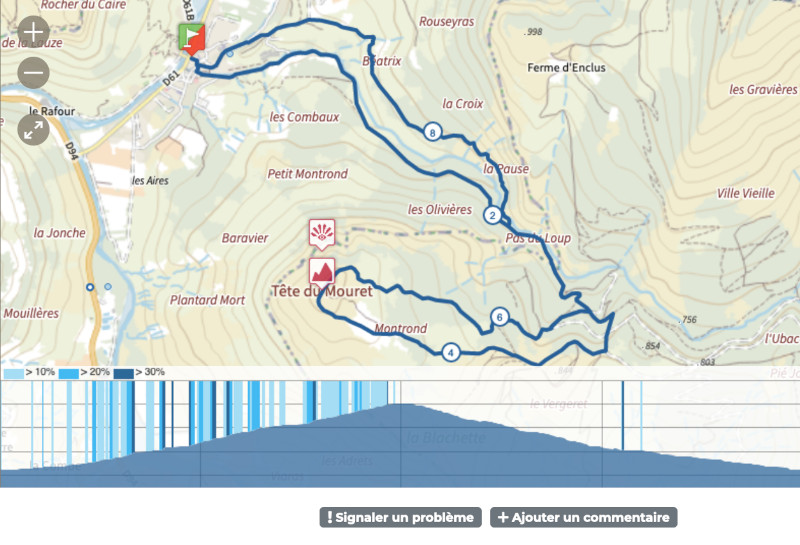
Digital navigation aids are also available: download the GPX or place the track in cache with the Baronnies en Drôme Provençale mobile application!
As you know, it is important to share the area with all other users, while respecting the environment and the people who live and work in our mountains.
Remember that in mountains, you are always in the home of someone who tolerates your presence.
Before your run :
- Check the weather forecast before you leave, the itineraries can be dangerous in case of bad weather
- Find out about the state of the route before you leave
- Take water, food and a first aid kit, a survival blanket, a light windbreaker, a whistle…
- Wear bright colors and reflectives clothes for your safety
- Don't be alone if at all possible and inform someone close to you of your itinerary and the planned timetables
- Recharge your phone battery to 100 and for long running sessions, take an external battery in addition
For night-time practice :
- Do not select a route that crosses pastoral areas
- Use headlamps for outdoor use and full charged
On the route :
- Please respect the natural and agricultural environments you pass through (no picking of lavender or fruit, etc.)
- Respect the other users of the space (hunters, Mountain bikers, shepherds, foresters, etc.)
- Adopt the right reflexes with herding dogs : keep calm, do not approach the herd or interact with the herding dog. Finally, go around the area if possible.
- Respecting private properties is a guarantee of long-term rights of way
- Close the barriers after you have passed through, do not cross the fences to enter the parks
- Stay on the paths and do not cutlacets
- All parts of the route using public roads are subject to the Highway Code. Please make sure that you observe it
- Keep all your rubbish with you, don't leave any trace of your passage
- No fire in the mountains
- If you see a fire or suspicious smoke, call 112
In the event of problem (lack of markings, maintenance problems, environmental problems...), do not hesitate to signal this problem by using the reporting tool available on the route page, on the website (button under the map) or in the mobile app.
You will be able to geolocate the problem and also send a corresponding photo. The Espace manager will be automatically notified of your report and will be able to check and deal with the problem.

the digital trails


![]()
 Espace Trail of Baronnies in Drôme Provençale - Useful informations

