
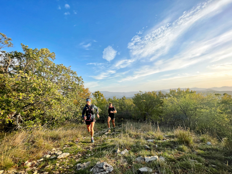
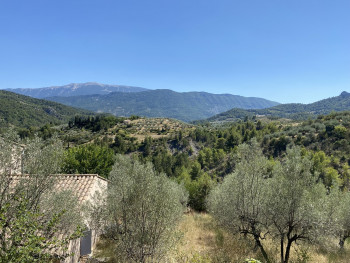
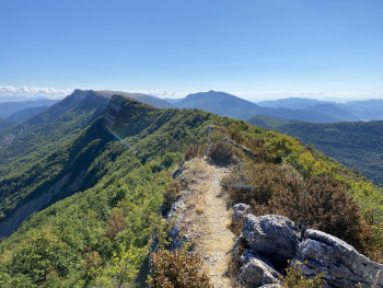
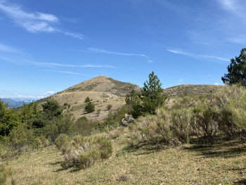
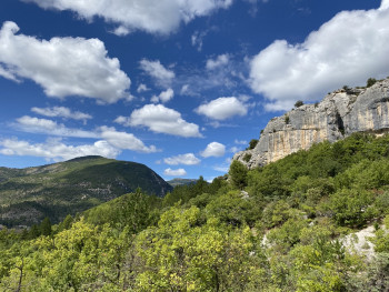
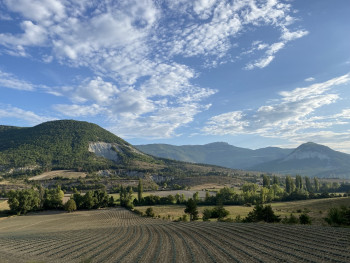
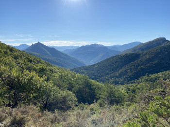
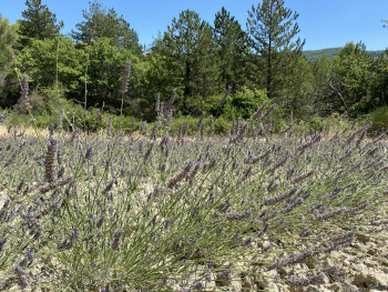
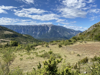
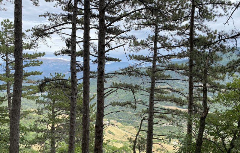
If you're an outdoor enthusiast looking for a thrill, discover trail running in the heart of the Baronnies massif in the Drôme Provençale, a land of outdoor activities (climbing, paragliding, mountain biking, cycling, gravel, canyoning, trail running...).
There are 19 routes, ranging from 4 to 42 kilometres, to suit all tastes. Take advantage of the 3 time challenges to measure yourself on 3 verticals in Nyons, Rémuzat and Buis-les-Baronnies. Or come and train on the 2 special workshops in the Val d'Eygues!


7.95km 330m 330m
Nyons
Route closed
15.1km 880m 890m
Nyons
Route closed
24.28km 1093m 989m
Nyons
Route closed

9.6km 380m 380m
Sainte-Jalle
Warning

8.4km 660m 660m
Les Pilles
Route opened
3.64km 131m 131m
Villeperdrix
Route opened

4.6km 220m 220m
Rémuzat
Route opened
9.7km 580m 580m
Rémuzat
Route opened
19.7km 1290m 1290m
Rémuzat
Route opened
15.6km 640m 640m
Séderon
Route opened
11.9km 500m 500m
Montbrun-les-Bains
Route opened

25.2km 1070m 1070m
Montbrun-les-Bains
Route opened
42km 2010m 2010m
Séderon
Route opened

38.8km 1610m 1610m
Saint-Auban-sur-l'Ouvèze
Route opened

8.6km 490m 490m
Buis-les-Baronnies
Route opened

11.2km 470m 470m
Buis-les-Baronnies
Route opened

15.5km 560m 560m
Buis-les-Baronnies
Route closed
24.3km 1050m 1040m
Buis-les-Baronnies
Route closed
24.2km 980m 1080m
Buis-les-Baronnies
Route closed
32.1km 1500m 1490m
Buis-les-Baronnies
Route opened
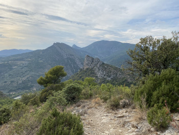


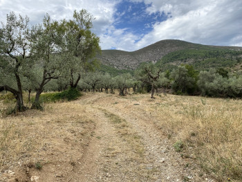
These are classic trailrunning routes, loops or crossing, alternating climbs and descents on paths, with varying degrees of technical difficulty and regular changes of pace. They can be short, medium or long distance, with more or less elevation gain. A trailrunning route can also be run in an urban environment if the locations and types of route are varied enough (staircases, alleyways, green spaces, etc.) to make it fun and fast-paced.
The routes are classified into 4 difficulty categories, according to a national grading scale (AFNOR agreement):
- Easy: routes with no technical difficulties, less than 10 km in length and less than 500 m of ascent
- Intermediate: route with limited technical difficulties, less than 20 km and less than 1000 m ascent
- Difficult : route with frequent technical difficulties, less than 30 km and less than 2000 m ascent
- Expert: routes with many technical difficulties, of more than 30 km or more than 2000 m of positive ascent
These are trail courses timed using Bluetooth beacons that interact with your smartphone. You'll be able to compare yourself with the best times you've set on these routes.
How can you take part?
- Download the Baronnies en Drôme Provençale application
- Open the Trail Challenge of your choice
- At the start of the route, launch the Challenge by clicking on "Go"
- Near each marker, a sound signal will sound when the marker is validated. If your smartphone doesn't detect the beacon, take it out of standby to make the operation easier, or scan the QR code on the beacon
- Once you've completed the Challenge, validate your time and share your result on social networks!
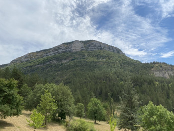
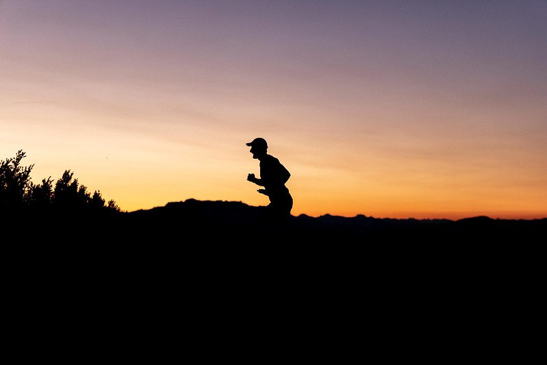
The workshops are ideal for specific training exercises. The vertical routes are made up of a single rise.
The Espace Trail des Baronnies in Drôme Provençale offers 3 verticals for hill work: the climb to Garde Grosse in Nyons, the climb to Les Aiguilles in Rémuzat and the climb to Ubrieux from Buis-les-Baronnies.
The club courir à Nyons has also designed two circuits especially for you:
- The 500 metres of the dam, equipped with metric markers, to work on your speed
- The 8 from the Col de la Croix for fartleck sessions in the hills
Read the coaches' advice on each circuit sheet!

the digital trails


![]()
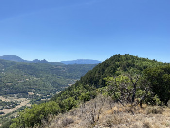
 Espace Trail of Baronnies in Drôme Provençale - Routes

