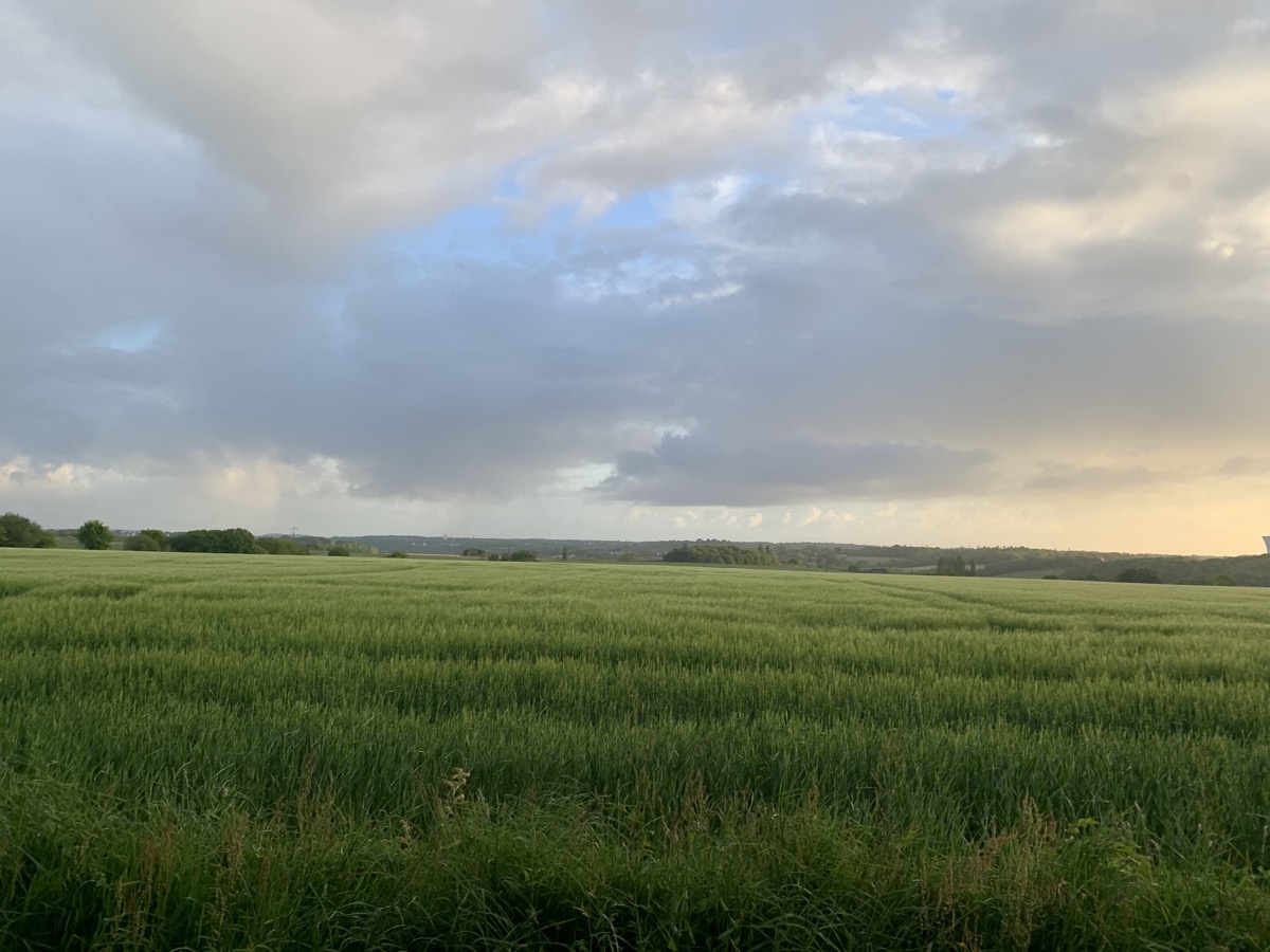

Découvrez sur ce parcours les sentiers entre Plourin lès Morlaix et Morlaix, une alternance de GR, voie verte et passage en ville.
Un parcours sans difficultés qui vous permettra de courir tout le long et d'effectuer une jolie sortie longue.

- Distance 24.02 km
- Elevation gain 400 m
- Elevation lost 400 m
- Min. elevation 10 m
- Max. elevation. 130 m
- Duration (depending on pace) 2h25 à 4h50
- Marking Soon
Starting from Plourin-lès-Morlaix, with its parish enclosure, discover this route which takes you through the Morlaix countryside, along the river, then along the sunken paths of Plourin-Les-Morlaix, to pass through Morlaix, where you will want to try out the Venelles circuit.
This circuit alternates between the GR, the greenway and the town, offering the freshness of the undergrowth, paths steeped in history and some small hidden heritage sites.
A route without difficulty that will allow you to run all the way and make a nice long outing.


