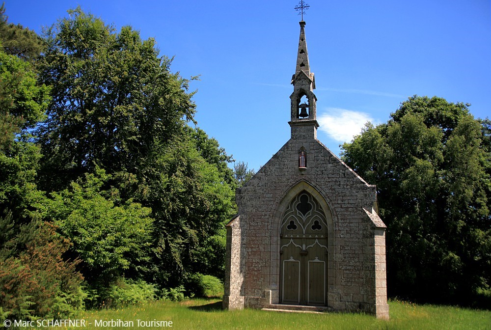
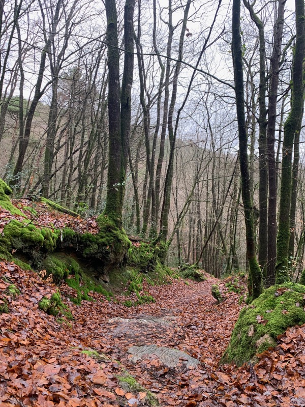
Route 76 - Montée de la Chapelle Ste Trépine
Add to my favorites

Caution: Due to the storms that happened in November, some tracks may be impracticable or closed. Before going out, please contact the local authorities to have more information.
Warning
The characteristics of the route.

Saint-Aignan (56)
- Distance 0.8 km
- Elevation gain 110 m
- Elevation lost 10 m
- Min. elevation 84 m
- Max. elevation. 185 m
Area : Pontivy
Report a problem Add a comment

Find all the routes in your smartphone
Available this summer, the application Coeur de Bretagne will allow you to find all the trail running and hiking trails on your smartphone.
You will find many features in this application:
- locate yourself the route
- download data for offline access
- take advantage of detailed IGN maps
- add your chrono on the route
- find the services nearby...

Add your time and share your feelings
Services nearby

L'âne Brasseur
Saint -Aignan

Base départemental de plein air
Guerlédan
Camping Le point de Vue
Guerlédan

Point information de St-Aignan
Saint Aignan
Village Club Miléade
Guerlédan


Follow us on
the digital trails
the digital trails


![]()
Infos & contact
Destination Coeur de Bretagne - Kalon Breizh
6 rue Joseph Pennec
22110 Rostrenen
Tel. +33(0)2 96 29 26 53


OK
Annuler