
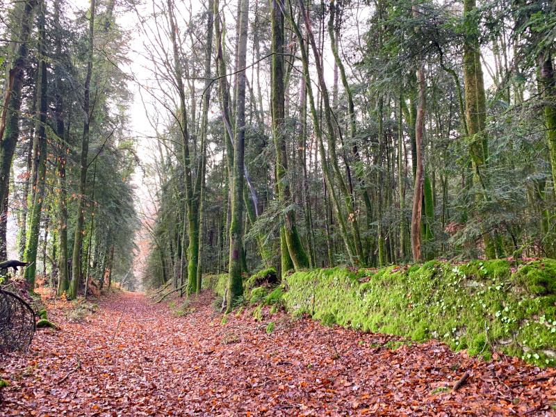
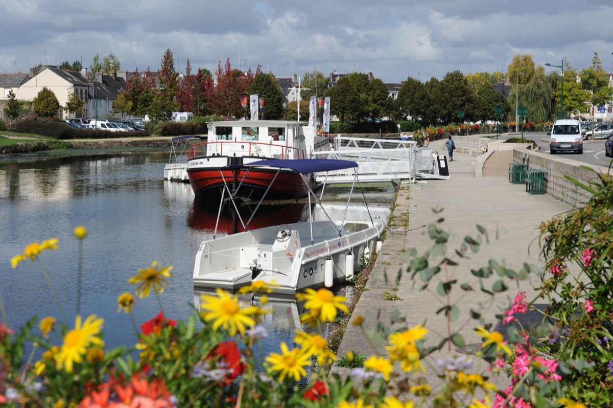
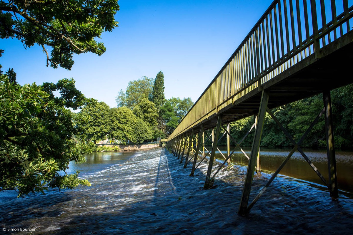
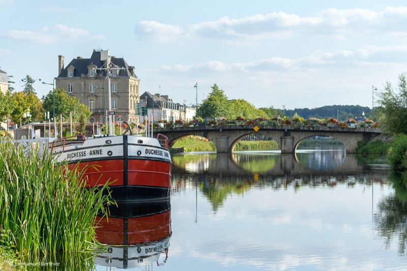
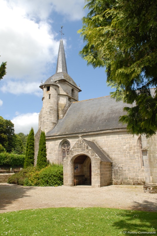
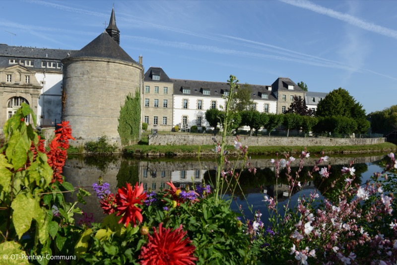
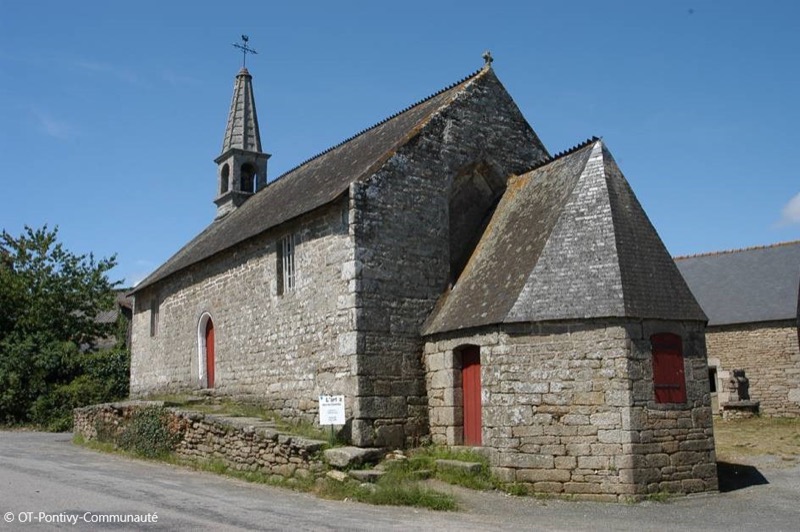
Starting from the Tourist Office of Pontivy, this itinerary will take you on the paths between Pontivy and Stival. You will run in a succession of paths, sunken paths and small roads in a forest and country setting offering a beautiful alternation of atmospheres. After passing by Ste Tréphine’s chapel and the Petit Resto valley, you will return to the town center of Pontivy by the Coulée Verte and the banks along the Blavet river.
Attention : Itinerary open from March 1st to September 15th. Closed during the hunting season.

- Distance 19.07 km
- Elevation gain 271 m
- Elevation lost 271 m
- Min. elevation 53 m
- Max. elevation. 134 m
- Duration (depending on pace) 1h45 à 3h30
- Marking Trail n°62 blue (soon)

The Cœur de Bretagne app allows you to find all the trail running, hiking, biking and horseriding trails on your smartphone, and much more!
A lot of features are in the app, including:
- geolocalisation on the route
- download data for offline access
- detailed IGN maps
- add your chrono on the route
- find the services nearby...


the digital trails


![]()
Infos & contact
Destination Coeur de Bretagne - Kalon Breizh
6 rue Joseph Pennec
22110 Rostrenen
Tel. +33(0)2 96 29 26 53
 Destination Cœur de Bretagne - Parcours - Route 62 blue - Boucle de Stival
Destination Cœur de Bretagne - Parcours - Route 62 blue - Boucle de Stival
Destination Cœur de Bretagne - Parcours - Route 62 blue - Boucle de Stival
Destination Cœur de Bretagne - Parcours - Route 62 blue - Boucle de Stival
Destination Cœur de Bretagne - Parcours - Route 62 blue - Boucle de Stival

