
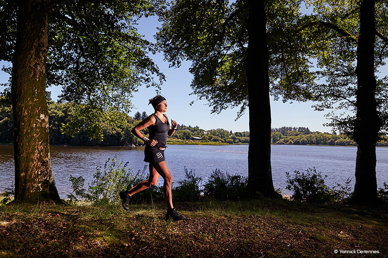
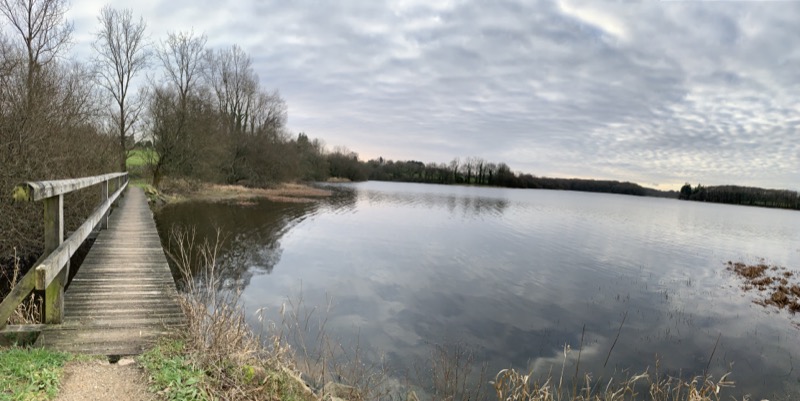
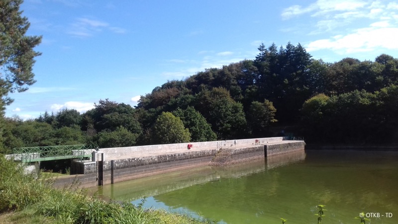
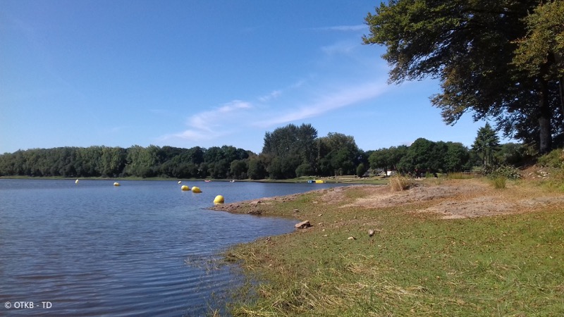
Au départ du camping de Glomel ce circuit de courte distance sera parfait pour découvrir la pratique du trail ou effectuer un entrainement spécifique. Vous effectuerez le tour de l'étang du Corong sur un itinéraire faisant la part belle aux sentiers monotrace !
A visiter en complément : Découvrez le Menhir de Glomel. D’une hauteur de 8,60 m, c'est le menhir le plus imposant du département des Côtes d’Armor et l’une des plus massives de Bretagne.

- Distance 6.08 km
- Elevation gain 19 m
- Elevation lost 19 m
- Min. elevation 202 m
- Max. elevation. 219 m
- Duration (depending on pace) 0h30 à 1h
- Marking Trail-running n°13 green

The Cœur de Bretagne app allows you to find all the trail running, hiking, biking and horseriding trails on your smartphone, and much more!
A lot of features are in the app, including:
- geolocalisation on the route
- download data for offline access
- detailed IGN maps
- add your chrono on the route
- find the services nearby...


the digital trails


![]()
Infos & contact
Destination Coeur de Bretagne - Kalon Breizh
6 rue Joseph Pennec
22110 Rostrenen
Tel. +33(0)2 96 29 26 53
 Destination Cœur de Bretagne - Parcours - Route 13 vert - Étang du Korong
Destination Cœur de Bretagne - Parcours - Route 13 vert - Étang du Korong
Destination Cœur de Bretagne - Parcours - Route 13 vert - Étang du Korong
Destination Cœur de Bretagne - Parcours - Route 13 vert - Étang du Korong
Destination Cœur de Bretagne - Parcours - Route 13 vert - Étang du Korong

