Circuit du village de l'an mil
Add to my favorites

Caution: Due to the storms that happened in November, some tracks may be impracticable or closed. Before going out, please contact the local authorities to have more information.
Warning
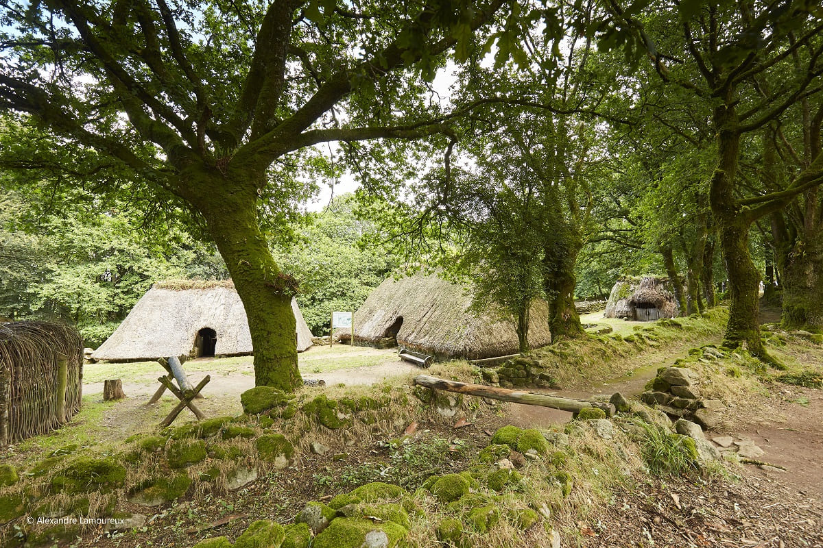
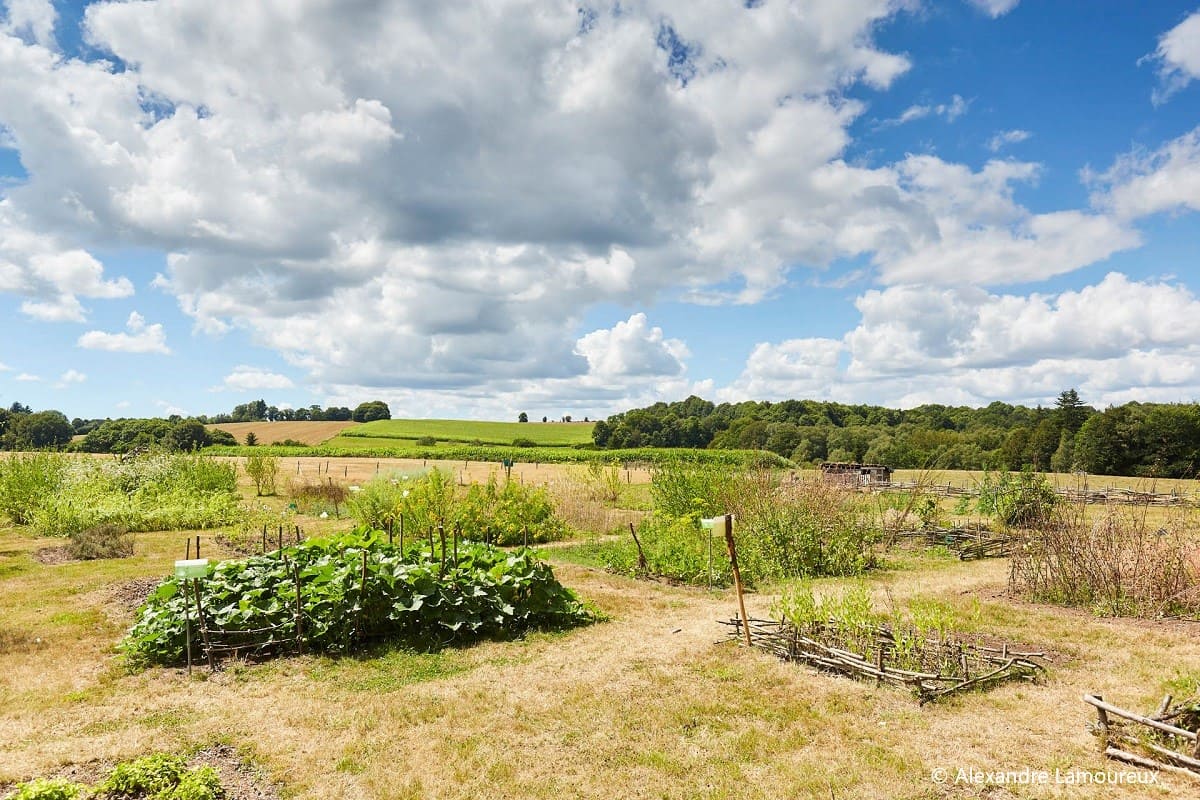
Au départ de l'église de Melrand, ce circuit vallonné et verdoyant permet de relier le village de l'An Mil par une découverte du patrimoine de la commune de Melrand. Au détour des chemins vous découvrez manoir, puits, moulins et maisons de caractère.
The characteristics of the route.

Melrand (56)
- Distance 4.5 km
- Elevation gain 70 m
- Elevation lost 70 m
- Min. elevation 46 m
- Max. elevation. 102 m
- Duration (depending on pace) 1h15
- Marking Yellow
Pour plus de détails, voir la topo fiche.
Read before you go!
Attention à la traversée de route départementale.
Attention à la traversée de route départementale.
Area : Vallée du Blavet
Report a problem Add a comment
Topo fiche - Circuit du village de l'an mil 
Find all the routes in your smartphone
Available this summer, the application Coeur de Bretagne will allow you to find all the trail running and hiking trails on your smartphone.
You will find many features in this application:
- locate yourself the route
- download data for offline access
- take advantage of detailed IGN maps
- add your chrono on the route
- find the services nearby...

Add your time and share your feelings
Services nearby

Coet-Kerven
Melrand
Gîte d'étape Ty Bihui
Pluméliau-Bieuzy
Camping L’Ile aux Oiseaux
Guern
Camping Le Clos du Blavet
Pluméliau-Bieuzy

Office de tourisme de Centre Morbihan Communauté - Accueil Saint-Nicolas-des-Eaux
Saint-Nicolas-des-Eaux


Follow us on
the digital trails
the digital trails


![]()
Infos & contact
Destination Coeur de Bretagne - Kalon Breizh
6 rue Joseph Pennec
22110 Rostrenen
Tel. +33(0)2 96 29 26 53


OK
Annuler