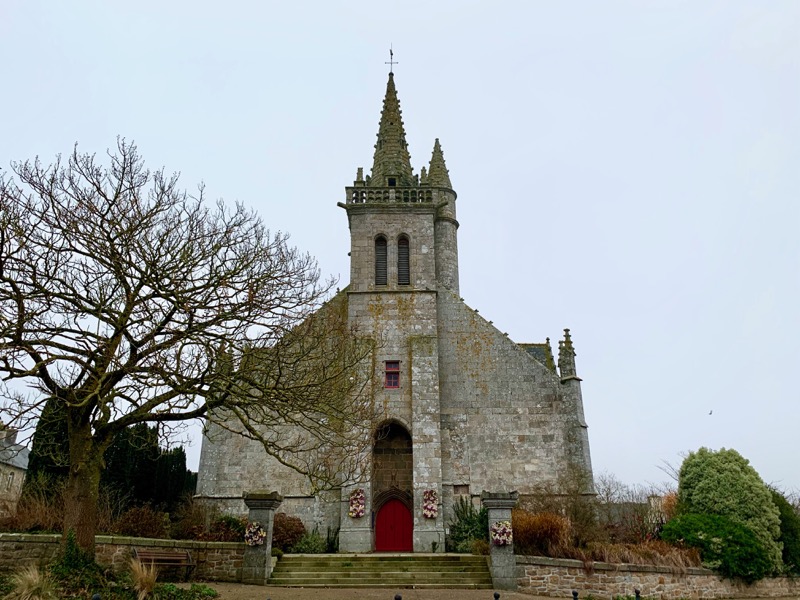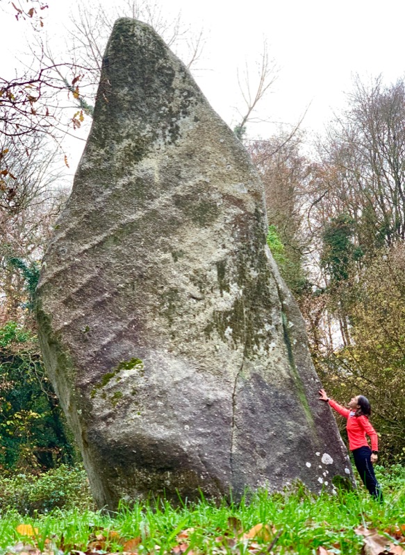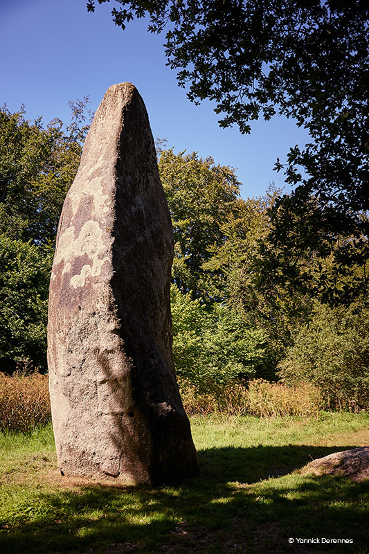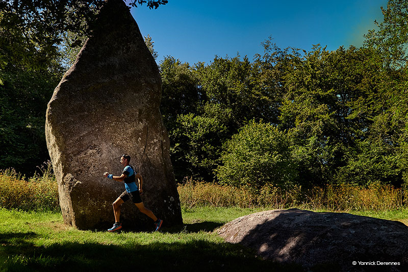
Starting from the village of Louargat, this tour will lead you to discover some beautiful places of the heart of Brittany. After two small kilometres of warm-up on a large track, you will enjoy six kilometres of beautiful monotrack trails along watercourses, interspersed with a section on a small country road that will allow you to lengthen your stride. During this first part, you will discover the impressive Pergat Menhir, one of the highest in Europe! On the second part of the route, you will climb the Menez Bré hill, the highest point of the Côtes d'Armor, offering an exceptional panorama!

- Distance 19.96 km
- Elevation gain 353 m
- Elevation lost 353 m
- Min. elevation 111 m
- Max. elevation. 301 m
- Duration (depending on pace) 2h à 4h
- Marking Trail-running signs n°4 blue

The Cœur de Bretagne app allows you to find all the trail running, hiking, biking and horseriding trails on your smartphone, and much more!
A lot of features are in the app, including:
- geolocalisation on the route
- download data for offline access
- detailed IGN maps
- add your chrono on the route
- find the services nearby...
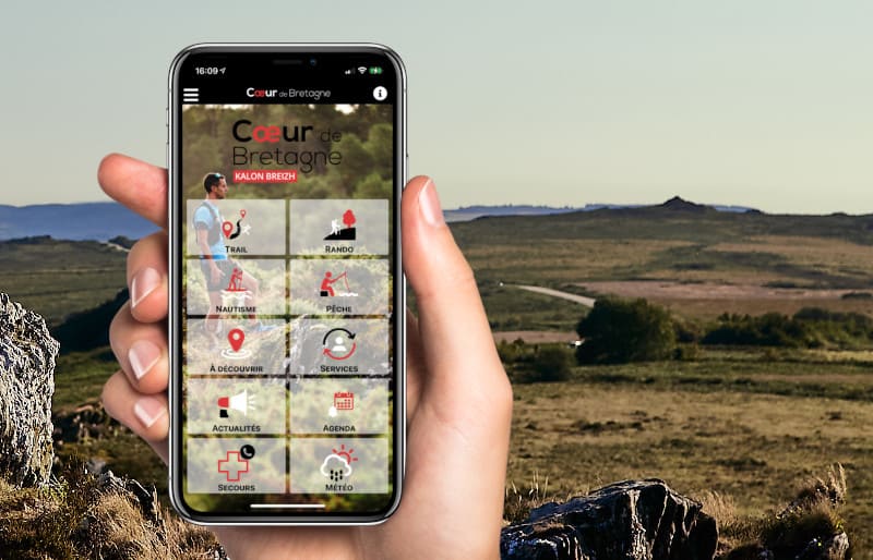






the digital trails



Infos & contact
Destination Coeur de Bretagne - Kalon Breizh
6 rue Joseph Pennec
22110 Rostrenen
Tel. +33(0)2 96 29 26 53
 Destination Cœur de Bretagne - Parcours - Route 4 blue - Circuit Trail du Menez-Bre
Destination Cœur de Bretagne - Parcours - Route 4 blue - Circuit Trail du Menez-Bre
Destination Cœur de Bretagne - Parcours - Route 4 blue - Circuit Trail du Menez-Bre
Destination Cœur de Bretagne - Parcours - Route 4 blue - Circuit Trail du Menez-Bre
Destination Cœur de Bretagne - Parcours - Route 4 blue - Circuit Trail du Menez-Bre