
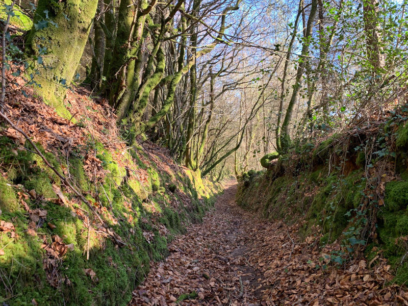
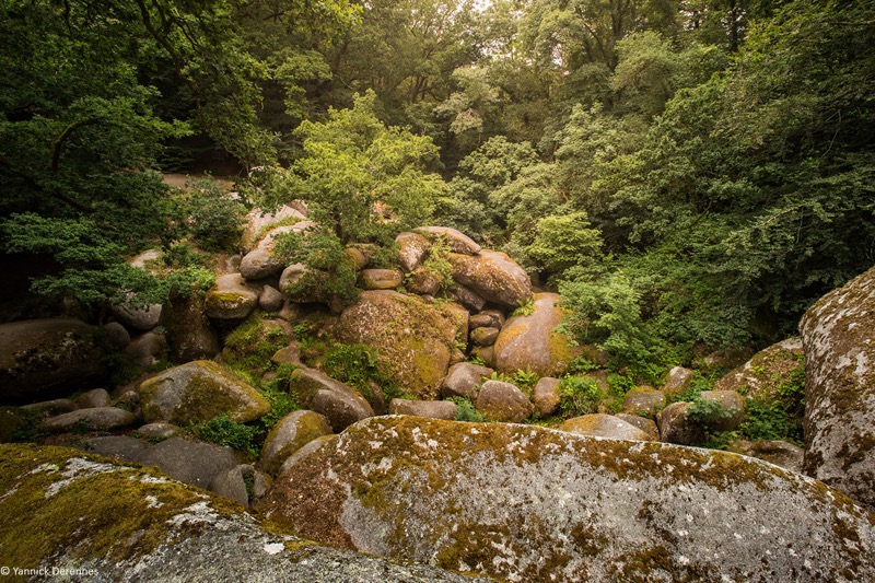
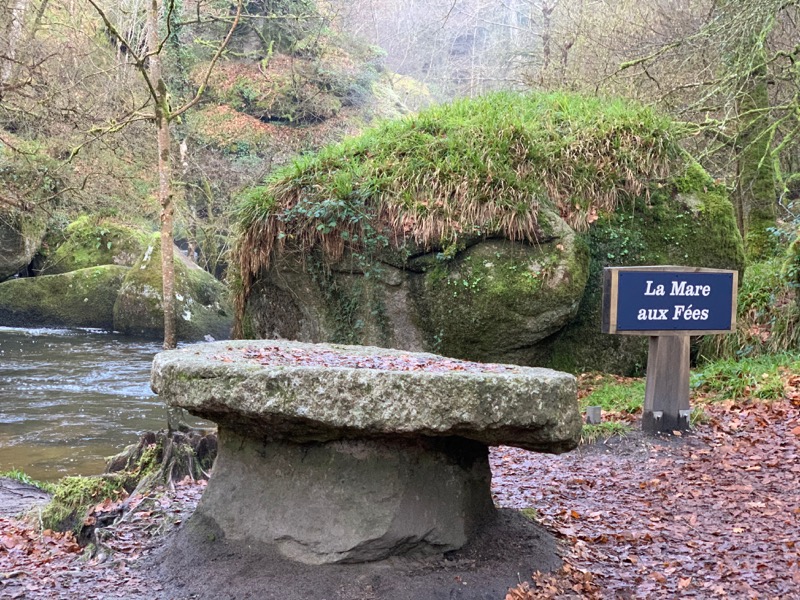
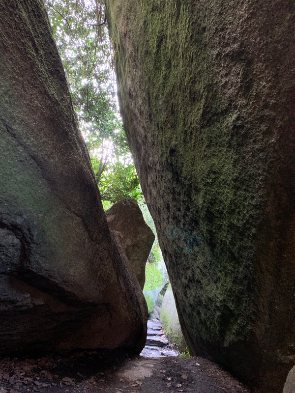
This route will lead you to discover the treasures of Huelgoat as well as the surrounding countryside and the state forest. The itinerary starts along the upper canal that fed the silver mine with the waters of Lake Huelgoat. You will reach the old mine before going up to the Abyss via the Fairy Pond. You will then plunge into the atmosphere of brittany bocages and forests and then the state forest of Huelgoat before returning to Huelgoat through the impressive granite chaos.

- Distance 19.9 km
- Elevation gain 470 m
- Elevation lost 470 m
- Min. elevation 92 m
- Max. elevation. 258 m
- Duration (depending on pace) 2h à 4h
- Marking follow yellow hiking signs

The Cœur de Bretagne app allows you to find all the trail running, hiking, biking and horseriding trails on your smartphone, and much more!
A lot of features are in the app, including:
- geolocalisation on the route
- download data for offline access
- detailed IGN maps
- add your chrono on the route
- find the services nearby...


the digital trails


![]()
Infos & contact
Destination Coeur de Bretagne - Kalon Breizh
6 rue Joseph Pennec
22110 Rostrenen
Tel. +33(0)2 96 29 26 53
 Destination Cœur de Bretagne - Parcours - Route 21 blue - Circuit des chevreuils
Destination Cœur de Bretagne - Parcours - Route 21 blue - Circuit des chevreuils
Destination Cœur de Bretagne - Parcours - Route 21 blue - Circuit des chevreuils
Destination Cœur de Bretagne - Parcours - Route 21 blue - Circuit des chevreuils
Destination Cœur de Bretagne - Parcours - Route 21 blue - Circuit des chevreuils

