
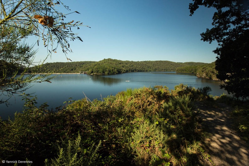
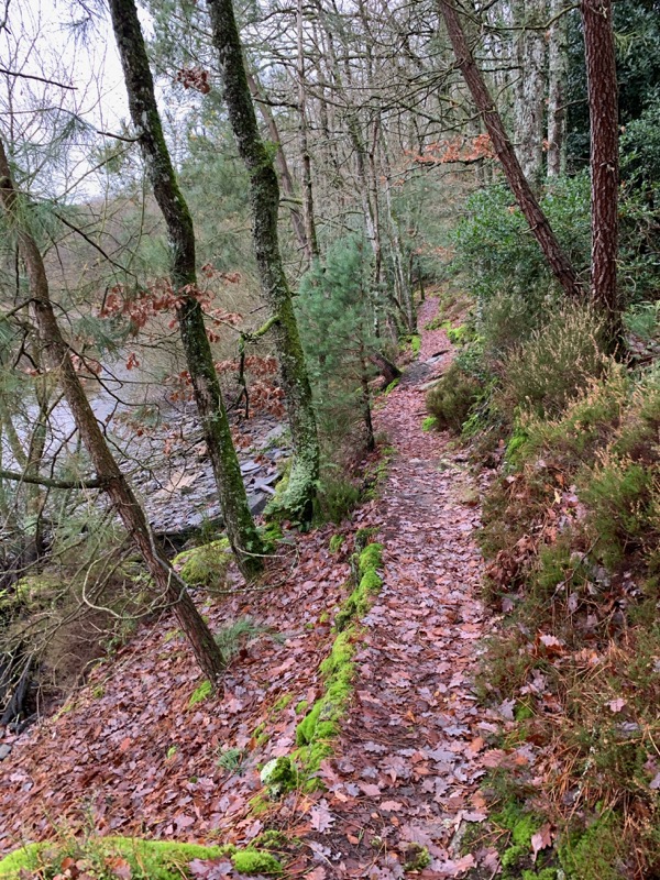
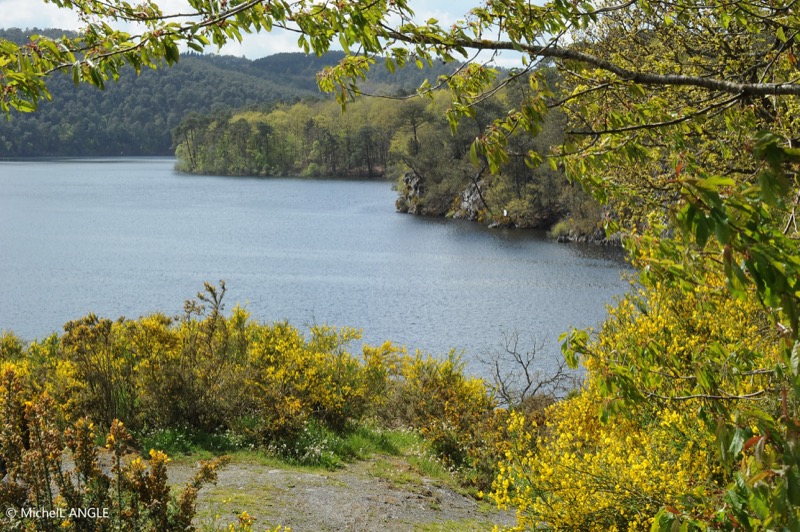
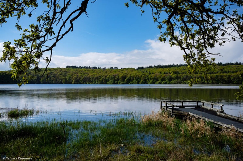
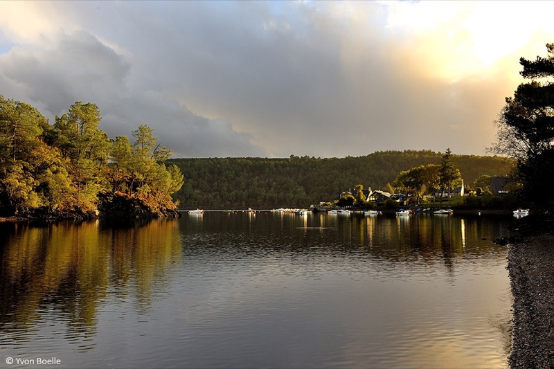
From the leisure centre, the route will take you to the entrance of the Bois de Caurel by the Anse de Landroannec and the passage of its footbridges. Arrived at the Caurel hood, you will make a loop along the lake, on technical trails, perfect for a specific trail-running training ! Arrived at Les Granges, you will come back on a large path to the Anse de Landroanec. You can then return to the leisure base by the outward path or do the loop once again !
Warning : Itinerary closed during the hunting season.

- Distance 14.13 km
- Elevation gain 238 m
- Elevation lost 238 m
- Min. elevation 122 m
- Max. elevation. 181 m
- Duration (depending on pace) 1h20 à 2h45
- Marking Trail-running n°71 blue

The Cœur de Bretagne app allows you to find all the trail running, hiking, biking and horseriding trails on your smartphone, and much more!
A lot of features are in the app, including:
- geolocalisation on the route
- download data for offline access
- detailed IGN maps
- add your chrono on the route
- find the services nearby...


the digital trails


![]()
Infos & contact
Destination Coeur de Bretagne - Kalon Breizh
6 rue Joseph Pennec
22110 Rostrenen
Tel. +33(0)2 96 29 26 53
 Destination Cœur de Bretagne - Parcours - Route 71 blue - Le Bois de Caurel
Destination Cœur de Bretagne - Parcours - Route 71 blue - Le Bois de Caurel
Destination Cœur de Bretagne - Parcours - Route 71 blue - Le Bois de Caurel
Destination Cœur de Bretagne - Parcours - Route 71 blue - Le Bois de Caurel
Destination Cœur de Bretagne - Parcours - Route 71 blue - Le Bois de Caurel

