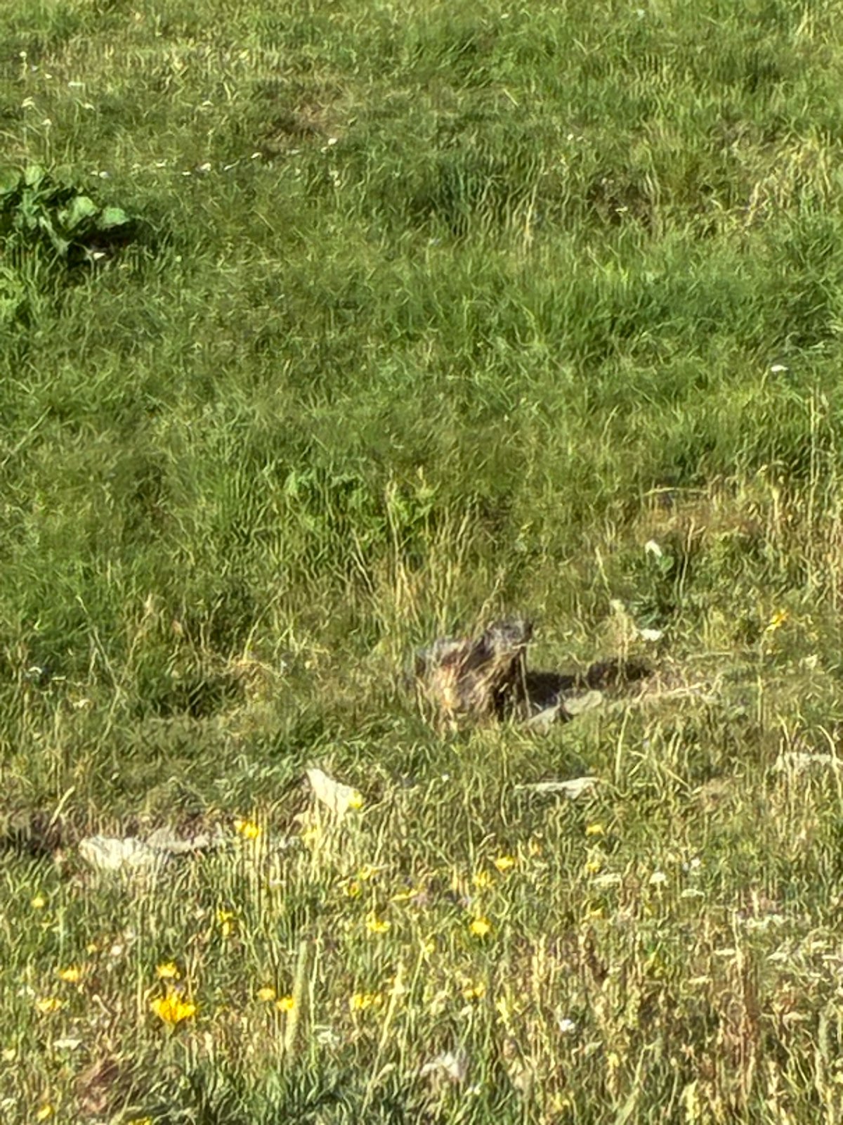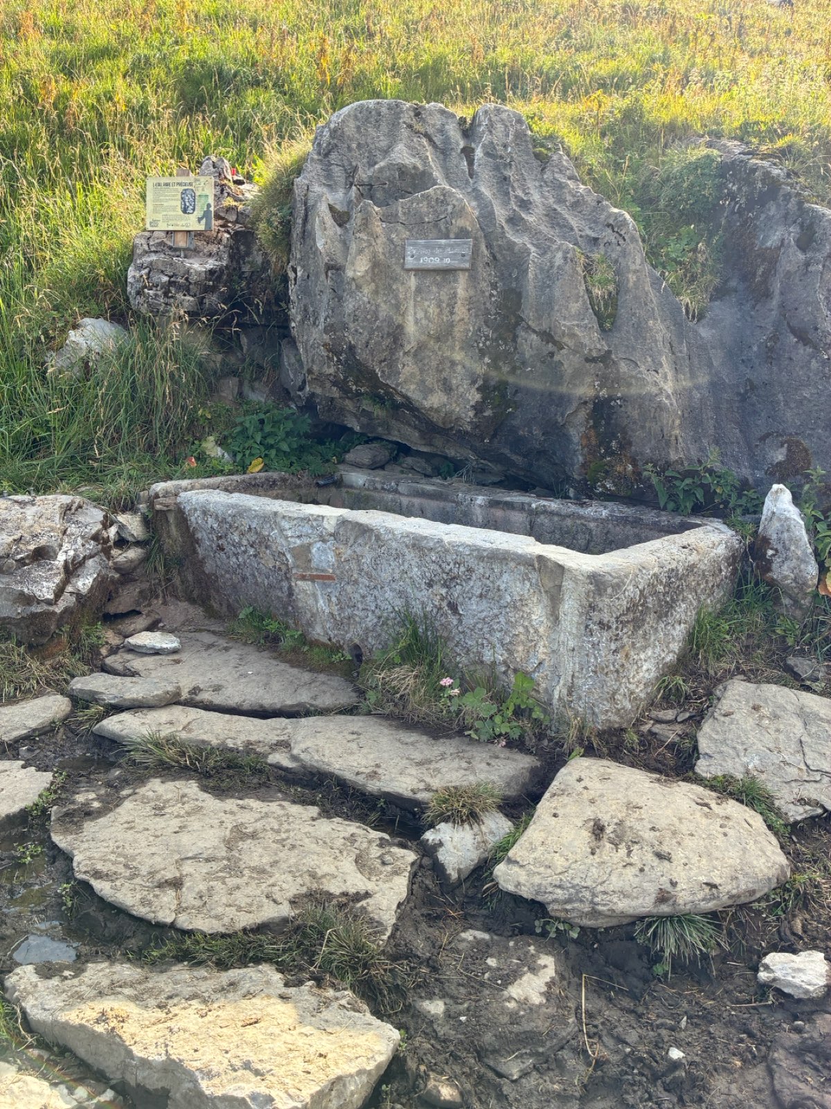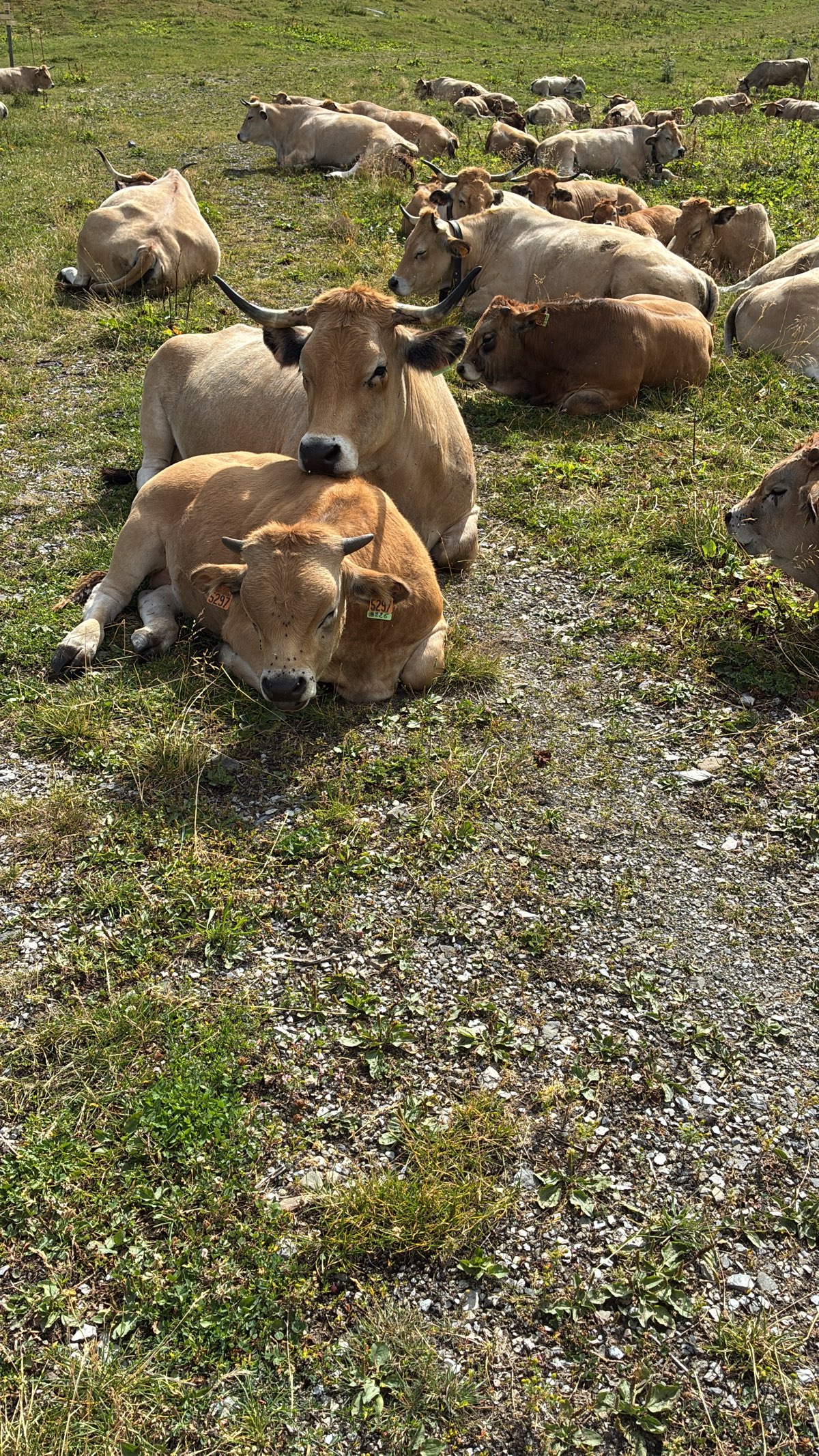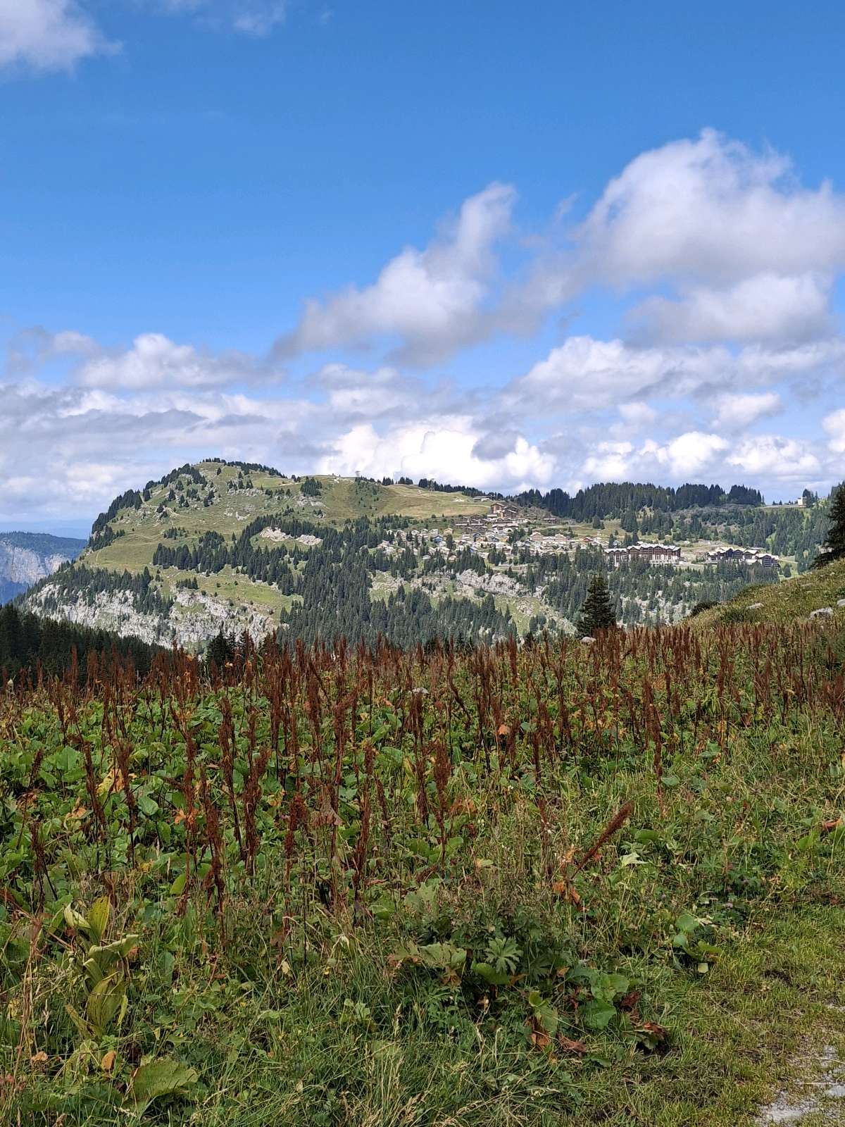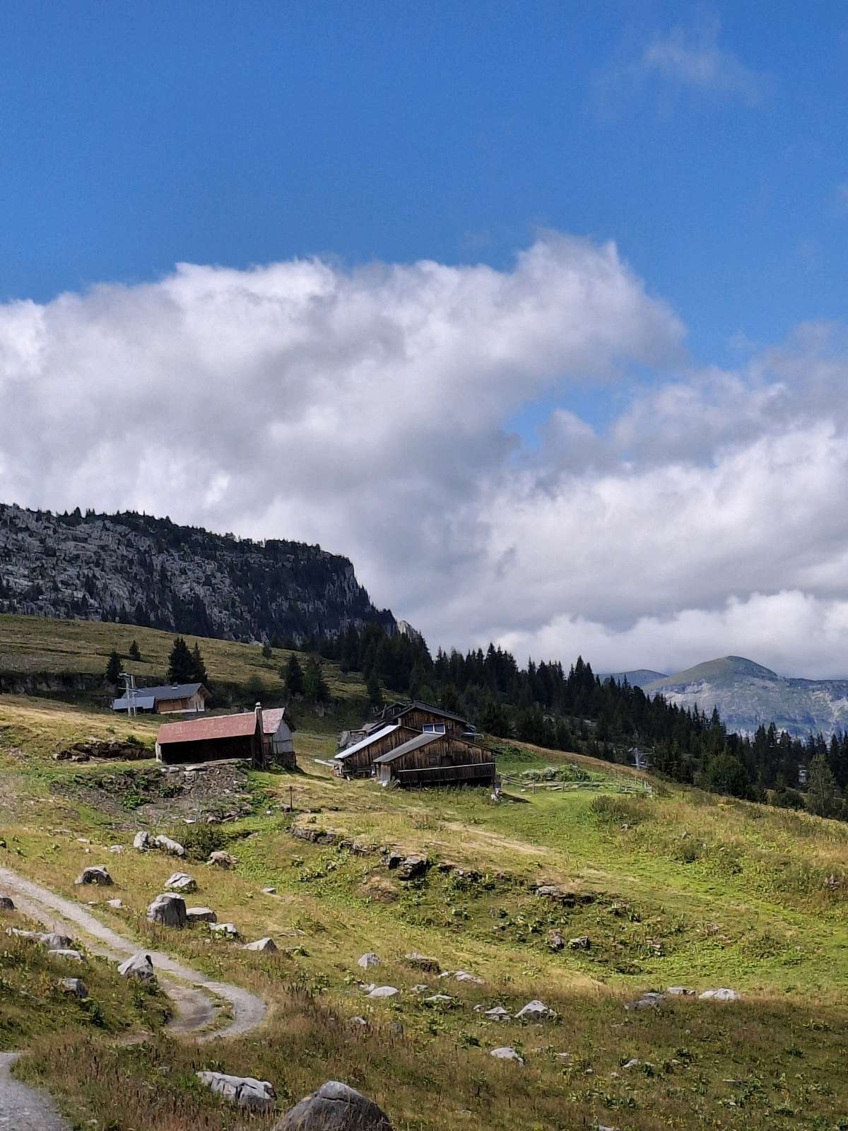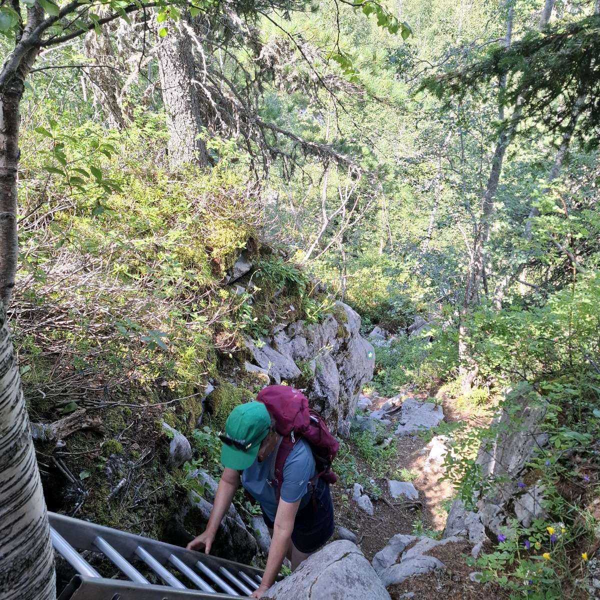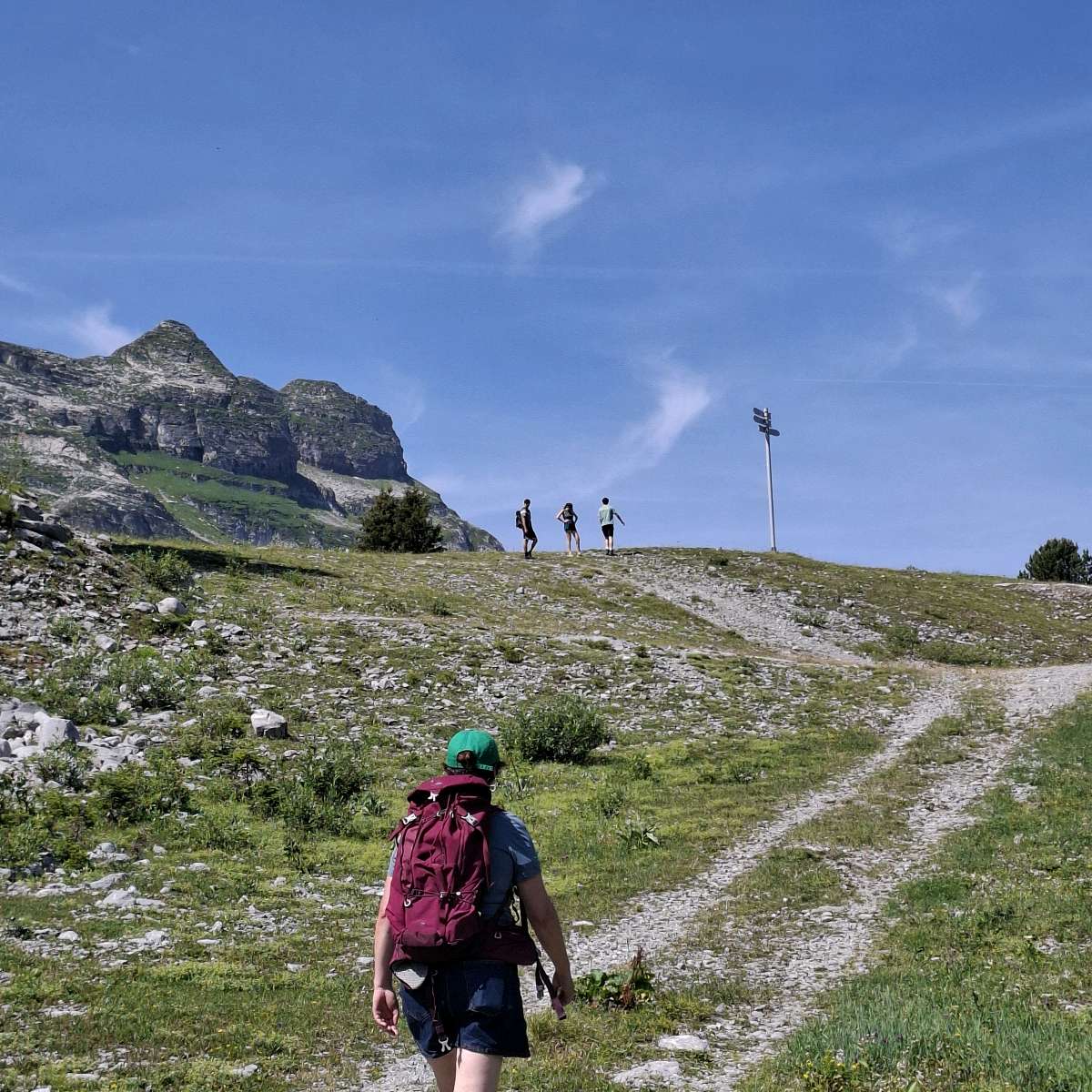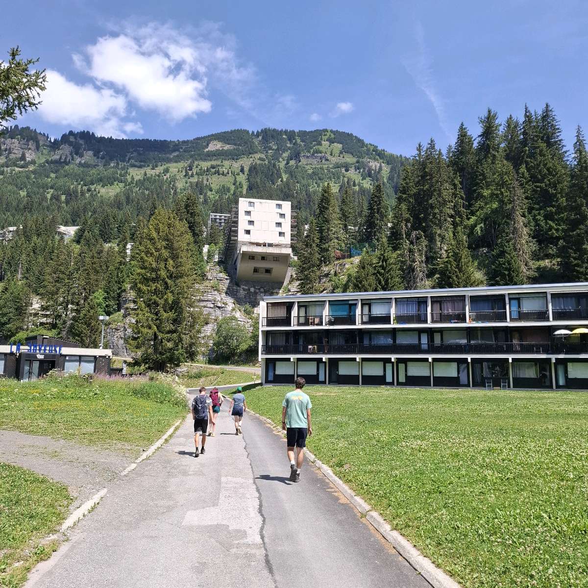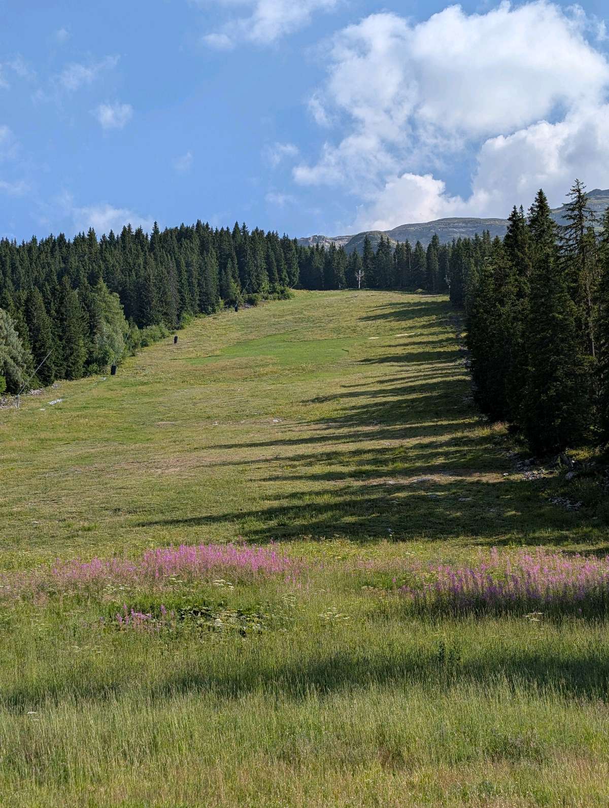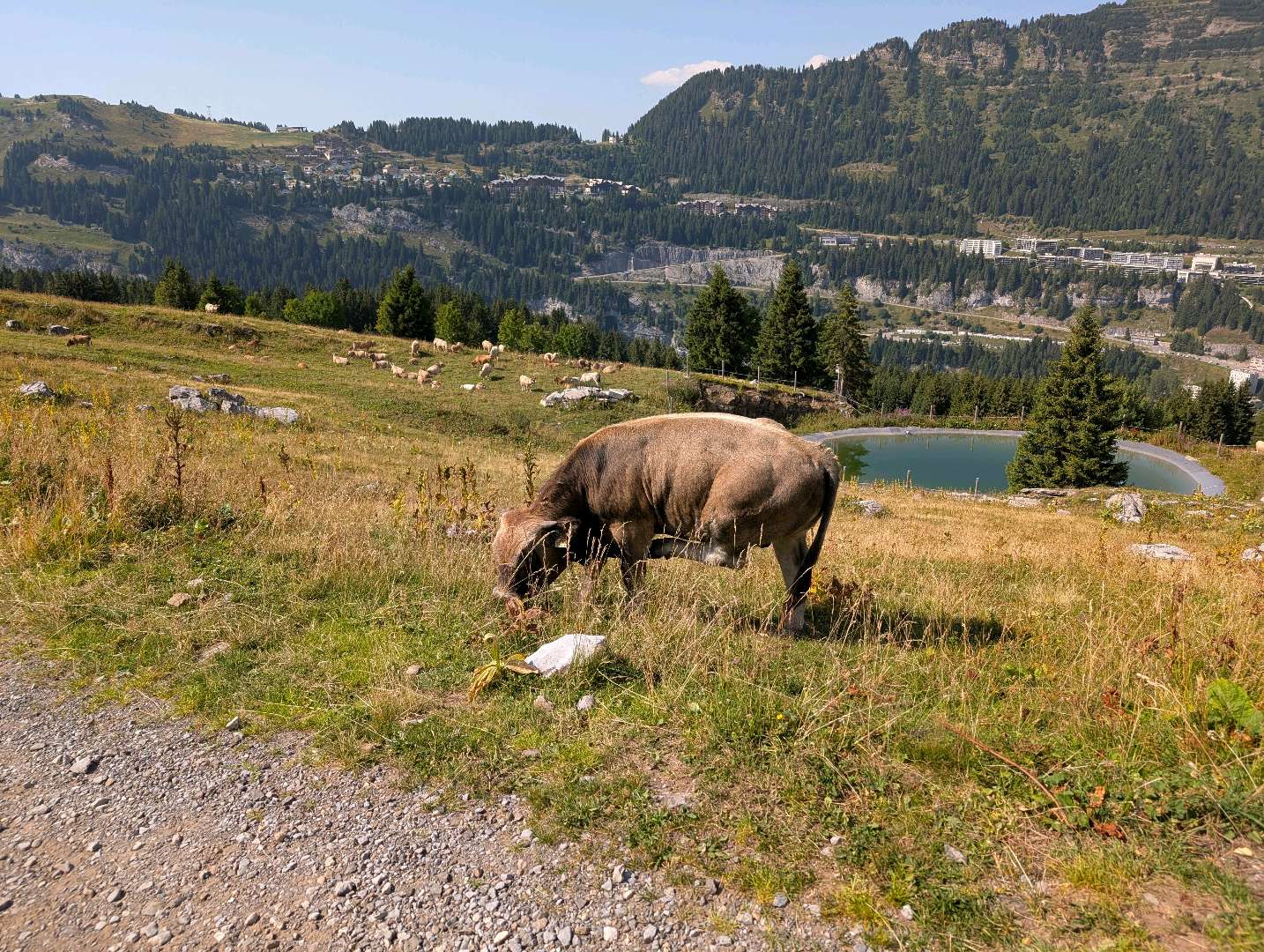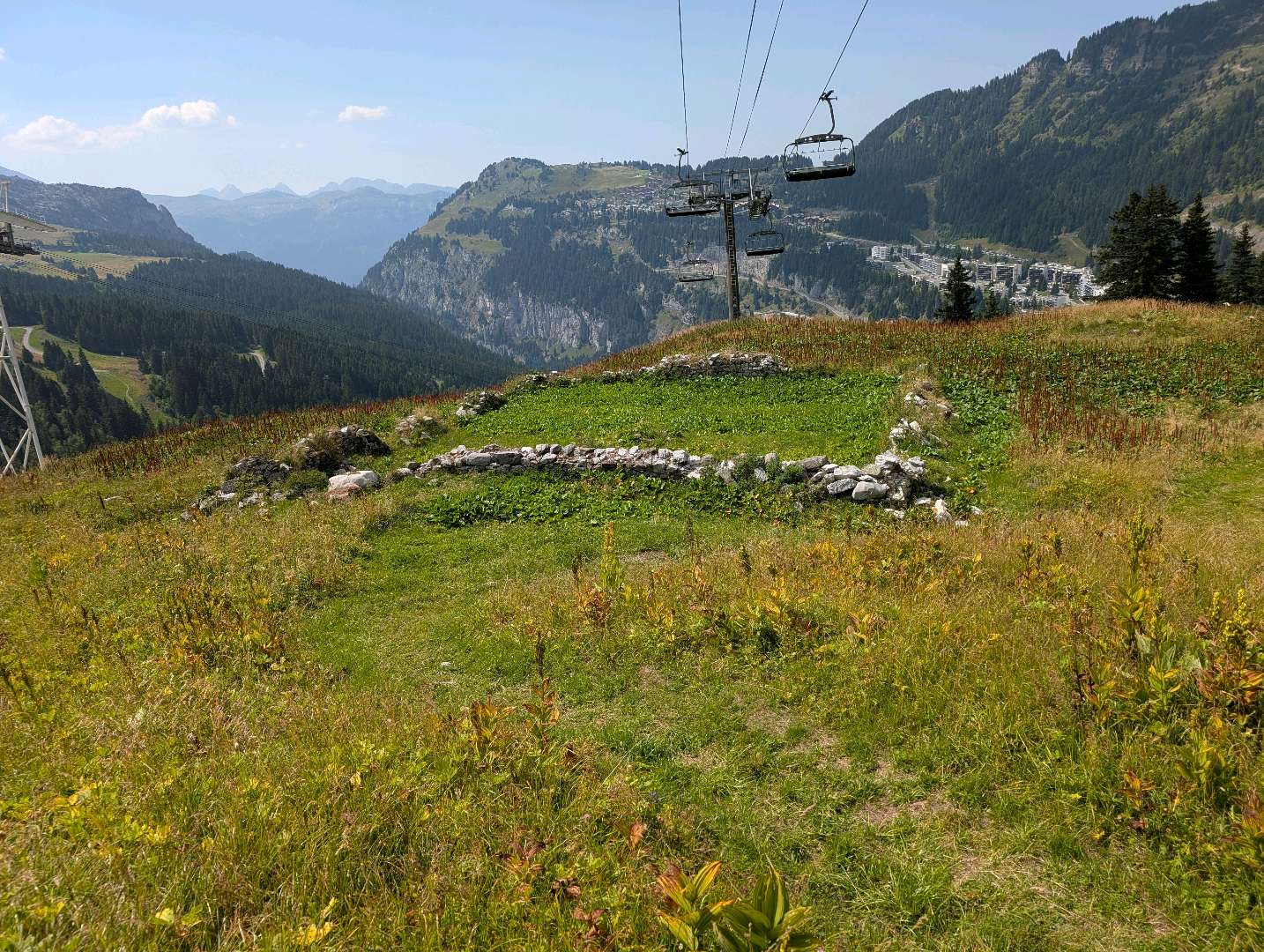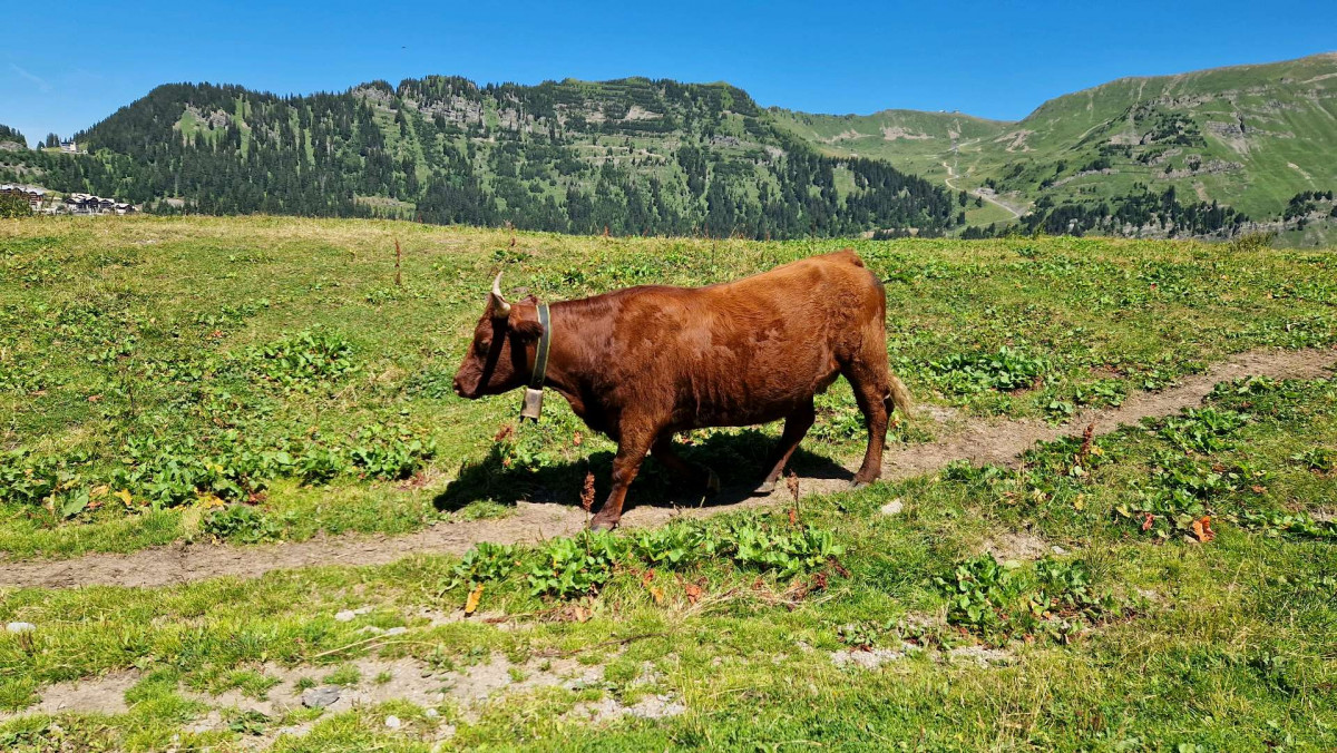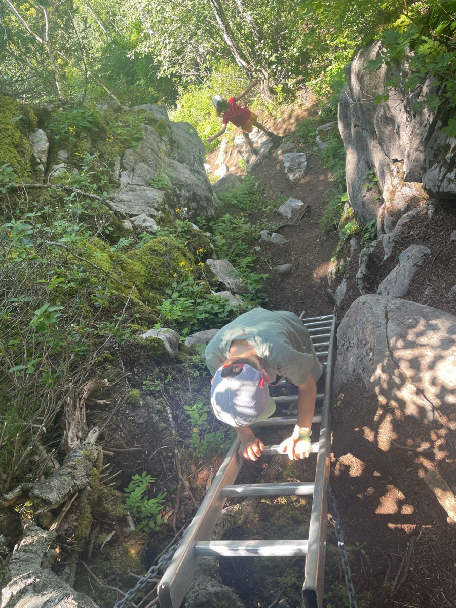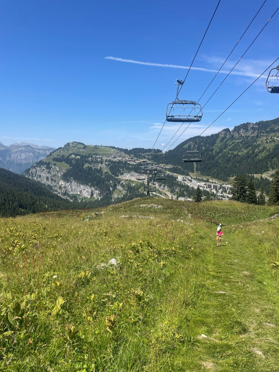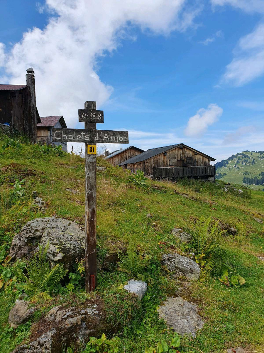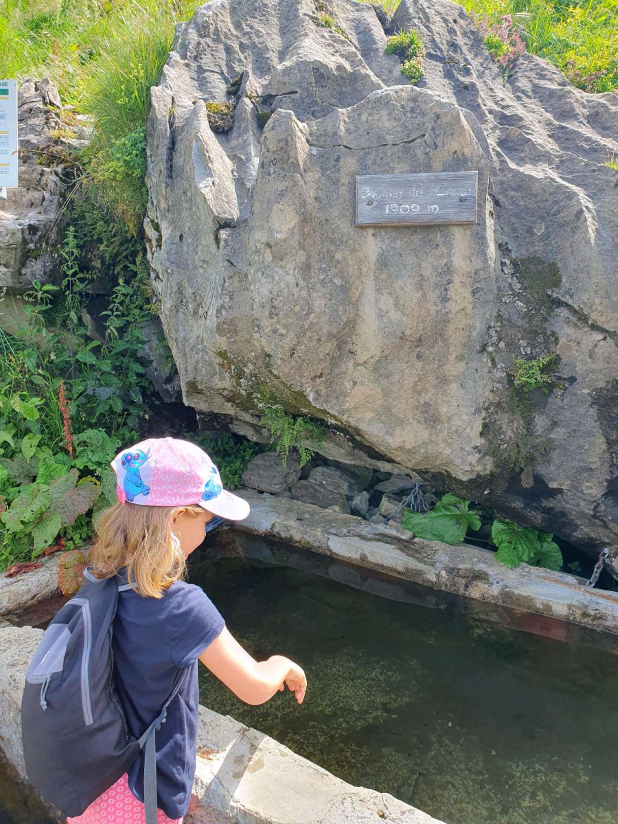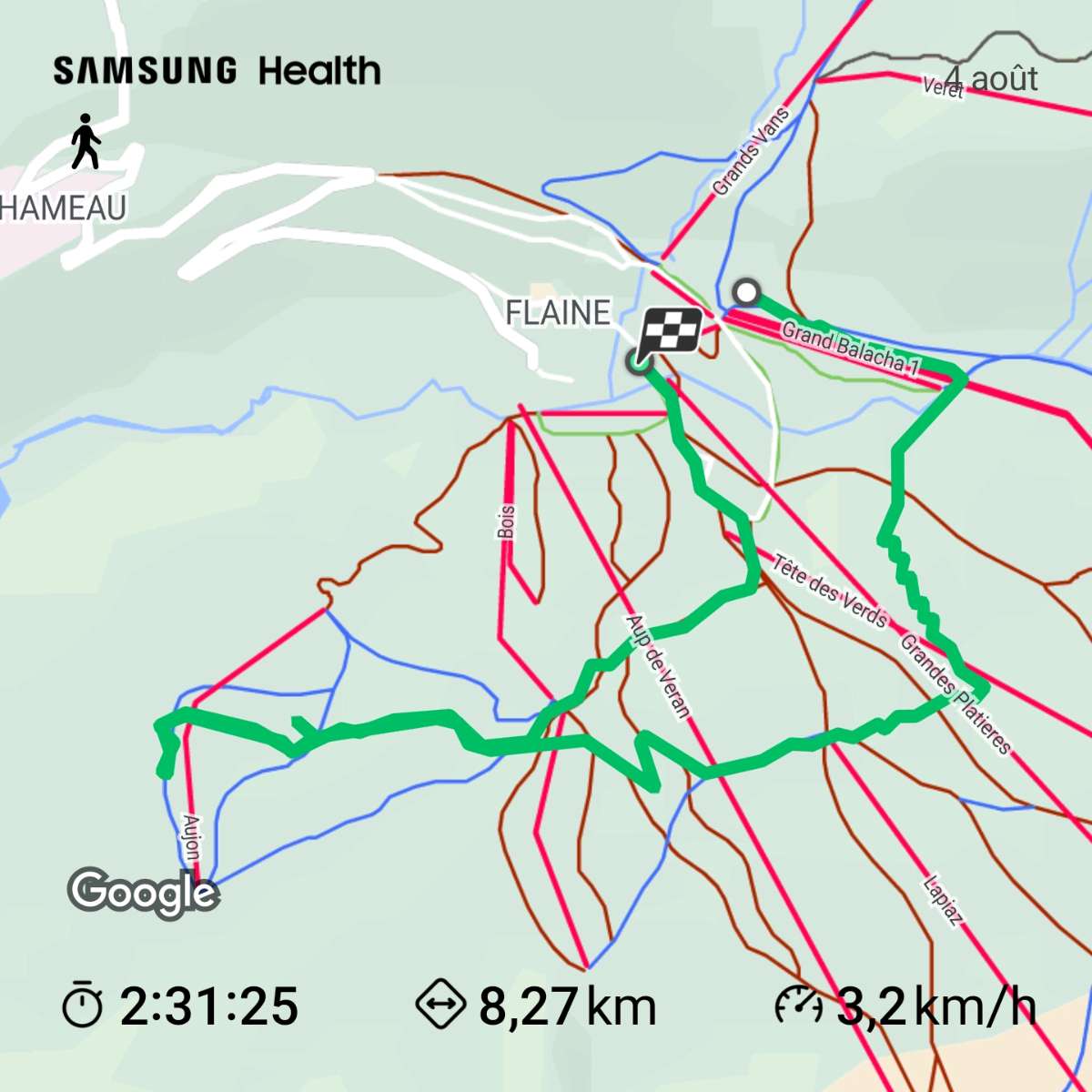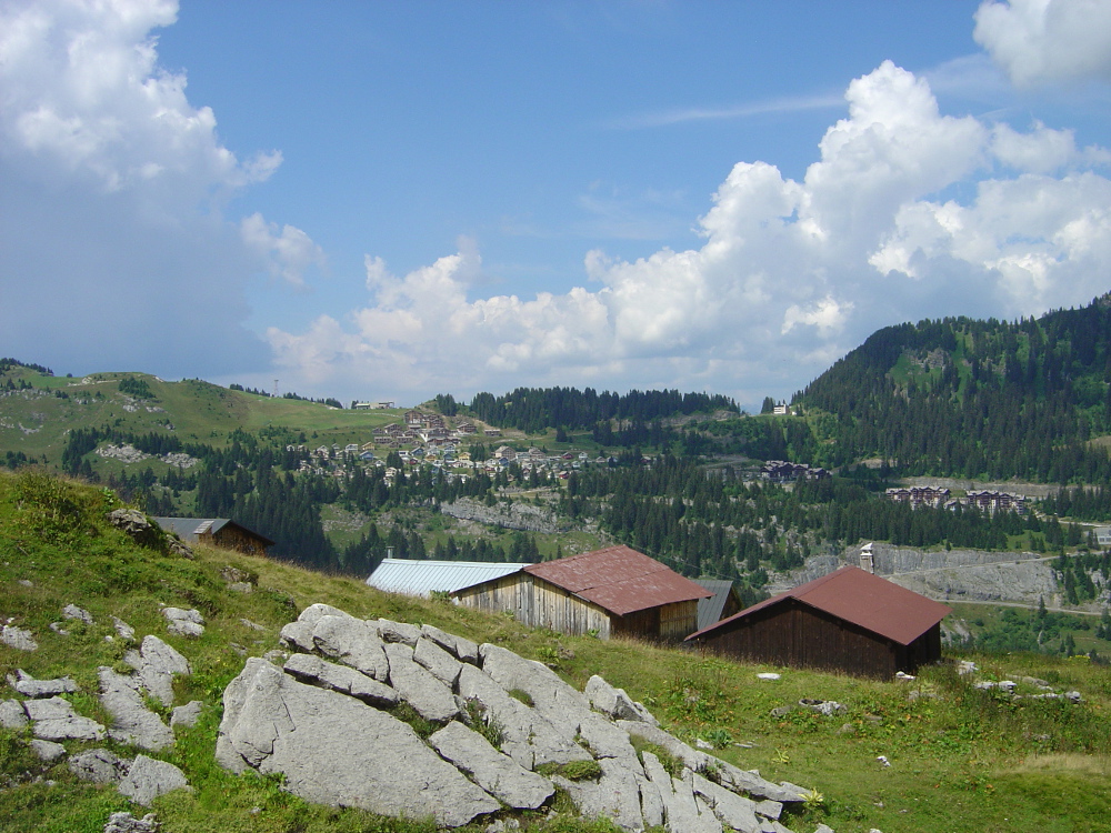
From the "Chalet Bissac" (Flaine Forêt) place called "Balacha" take the direction of "Bois quartier". Following the sustained climb that leads to "Bois quartier", turn right towards "L'Essais" then "le Bassin de l'Essais". Between station N°4 and N°5 a small ladder allows you to descend to continue your journey. At the place called "Les Langards" take the direction "Le Grand Grenier" then follow the direction "Plan des Chardons" and head towards "les Chalets d'Aujon" the last descent is through "Les Bois d'Aujon" to the place called " Le Stade". At each observation post (numbered from 1 to 7) along your route, you will find a description.
- Distance 6.36 km
- Elevation gain 310 m
- Elevation lost 400 m
- Min. elevation 1574 m
- Max. elevation. 1904 m
- Duration (depending on pace) 3h
Get all the routes on your smartphone with Flaine Carroz 2ccam Outdoor app. You'll find a host of functions :
- Take advantage of detailed IGN maps
- Download data for consultation even when you're not connected to the network
- Geolocate yourself at any time on the route and altimeter profile
- Activate the off-track alarm to be alerted if you stray from the itinerary
- Find nearby services
- Share your experience (add a report, share your lap time)...


S_Plazza
Lucile34
Ercky
S_Plazza
Lucile34
Ercky



the digital trails




Infos & contacts
Flaine Tourist Office
Tél. +33 (0)4 50 90 80 01
Les Carroz sports club
sports@aracheslafrasse.fr - Tél. +33 (0)4 50 90 24 80
Cluses Arve & montagnes Tourist Office
Tél. +33 (0)4 50 96 69 69
 Espace Trail Flaine - Les Carroz - Cluses Arve et Montagnes - Parcours - Alpine theme route
Espace Trail Flaine - Les Carroz - Cluses Arve et Montagnes - Parcours - Alpine theme route
Espace Trail Flaine - Les Carroz - Cluses Arve et Montagnes - Parcours - Alpine theme route
Espace Trail Flaine - Les Carroz - Cluses Arve et Montagnes - Parcours - Alpine theme route
Espace Trail Flaine - Les Carroz - Cluses Arve et Montagnes - Parcours - Alpine theme route