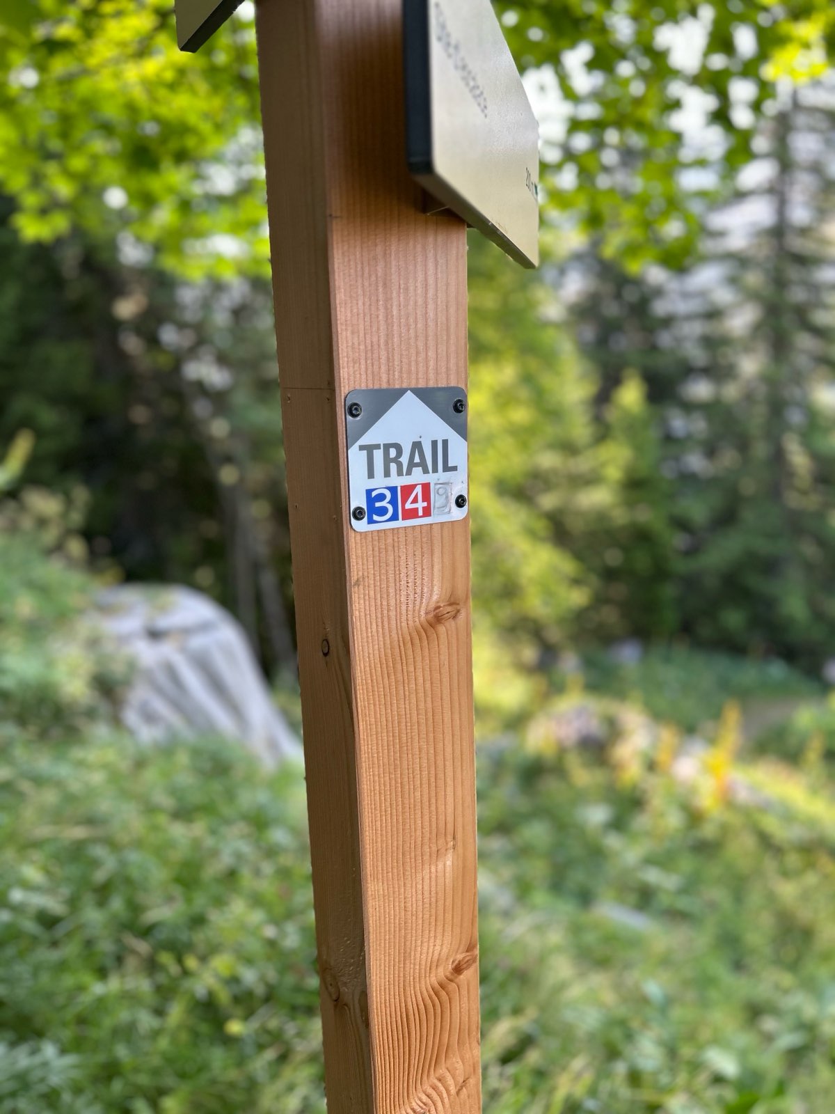
Circuit 3 blue - The Gerats
Add to my favorites

Route closed

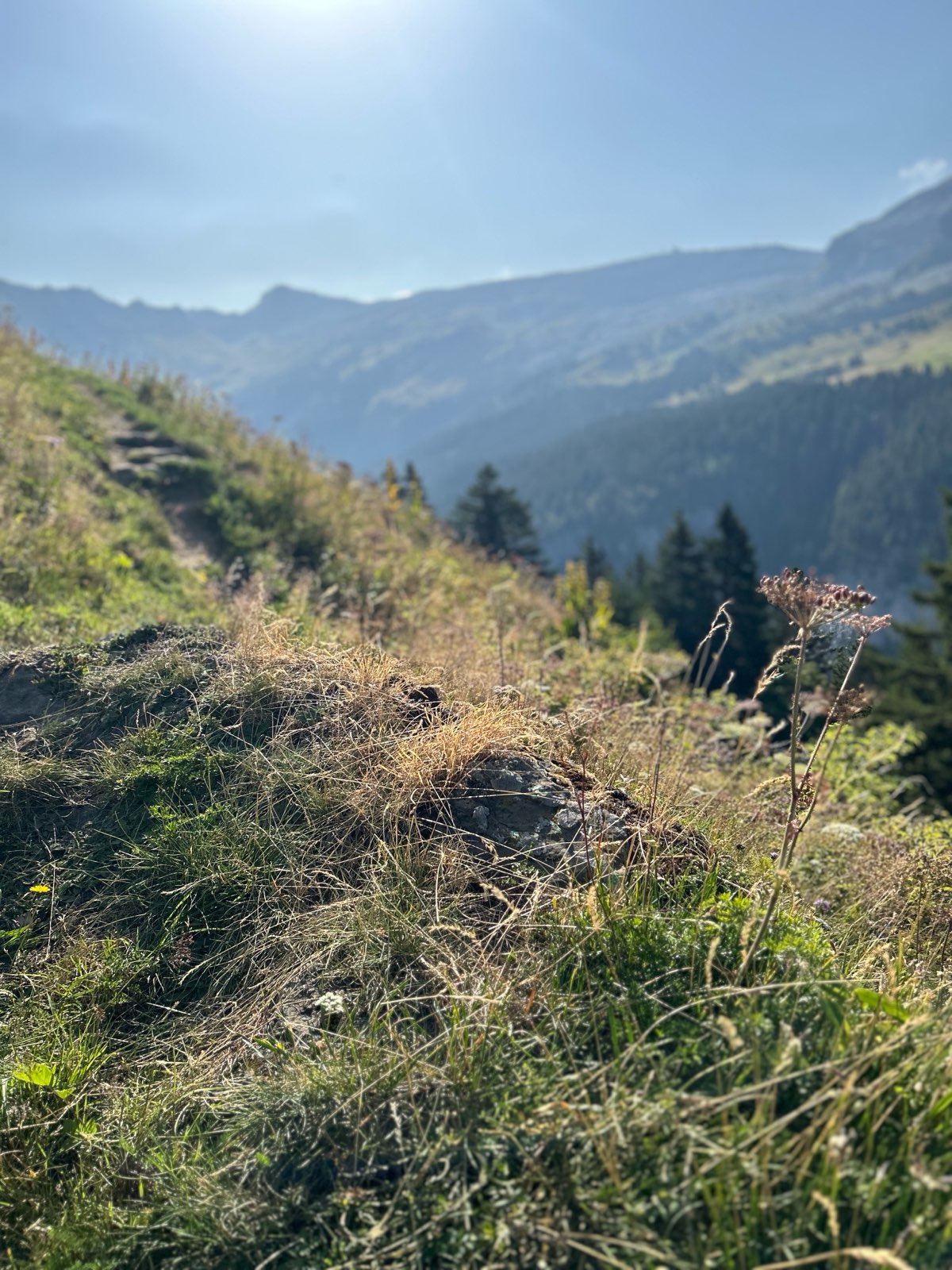
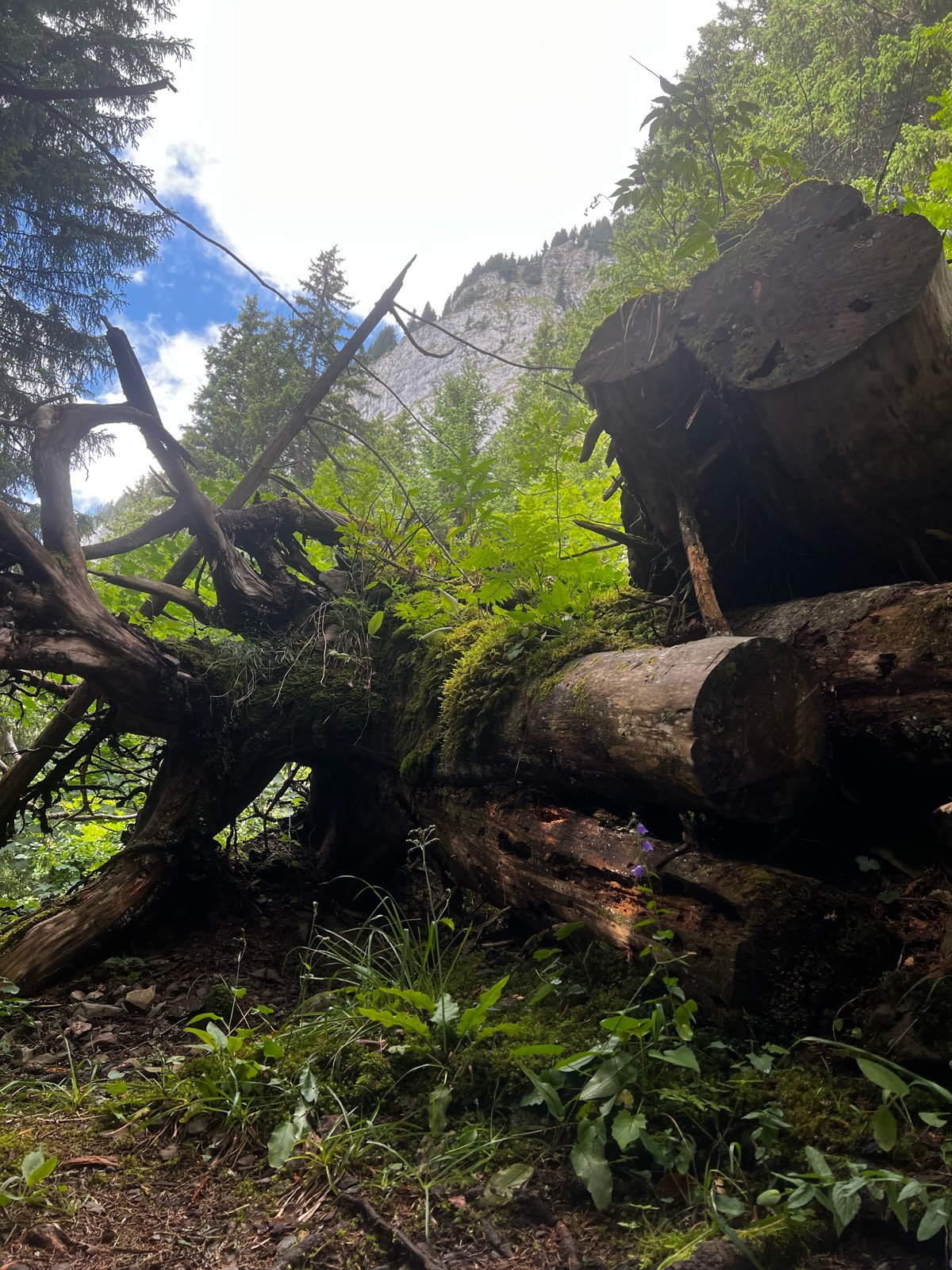
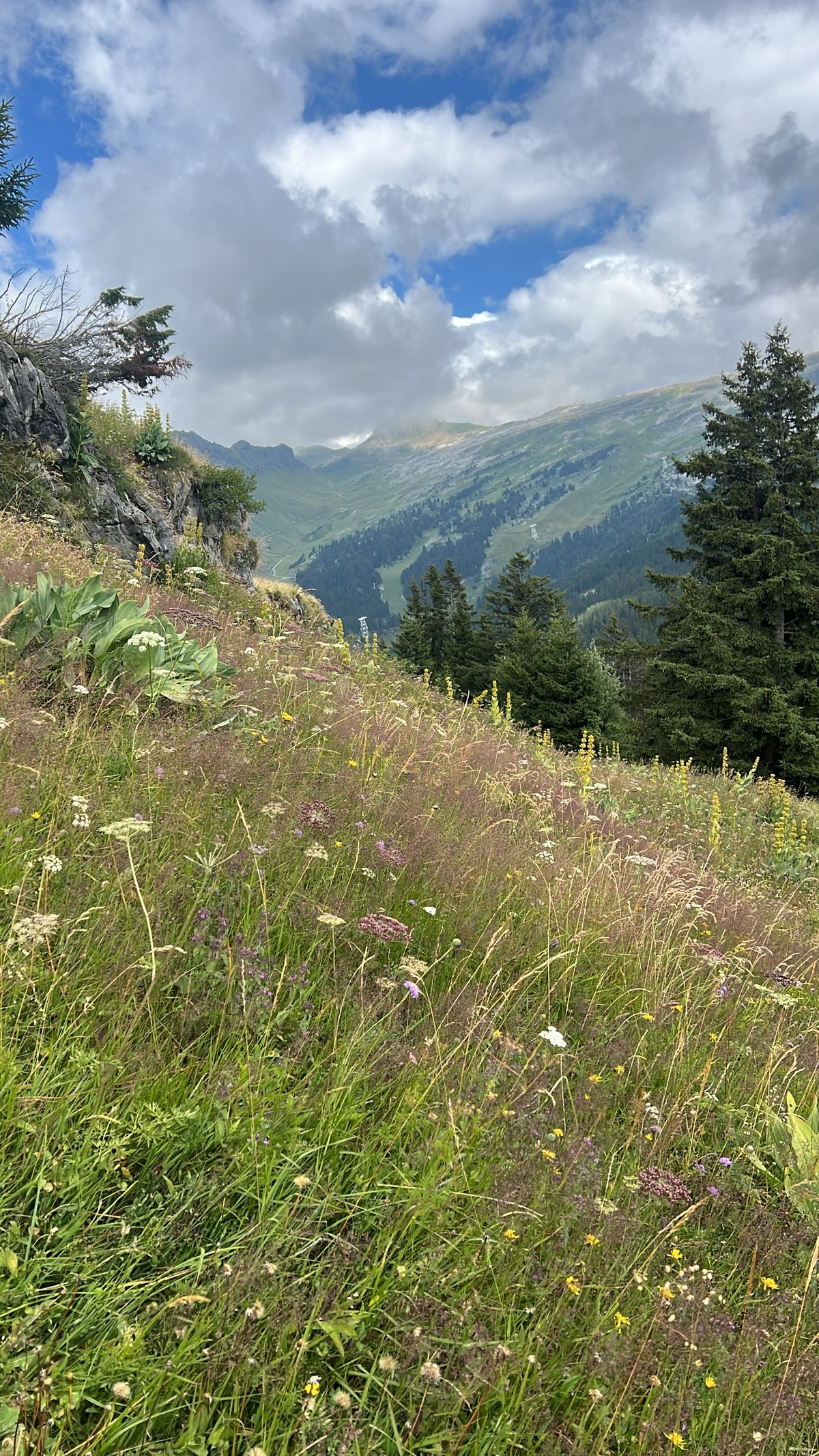
You leave Flaine by a tarred portion before joining a 4x4 road. You enter the "small Canada", the lake of Flaine and its plain, by the end of this one...
The characteristics of the route.
Magland (74)
- Distance 12.8 km
- Elevation gain 650 m
- Elevation lost 650 m
- Min. elevation 1418 m
- Max. elevation. 1828 m
- Duration (depending on pace) 1h15 à 2h15
- Marking yes
The climb to the col du Cou is made by a sunny and stony hcemin. The ascension of the Gerrats is long and sustained. Watered by the sun, it offers no respite!.
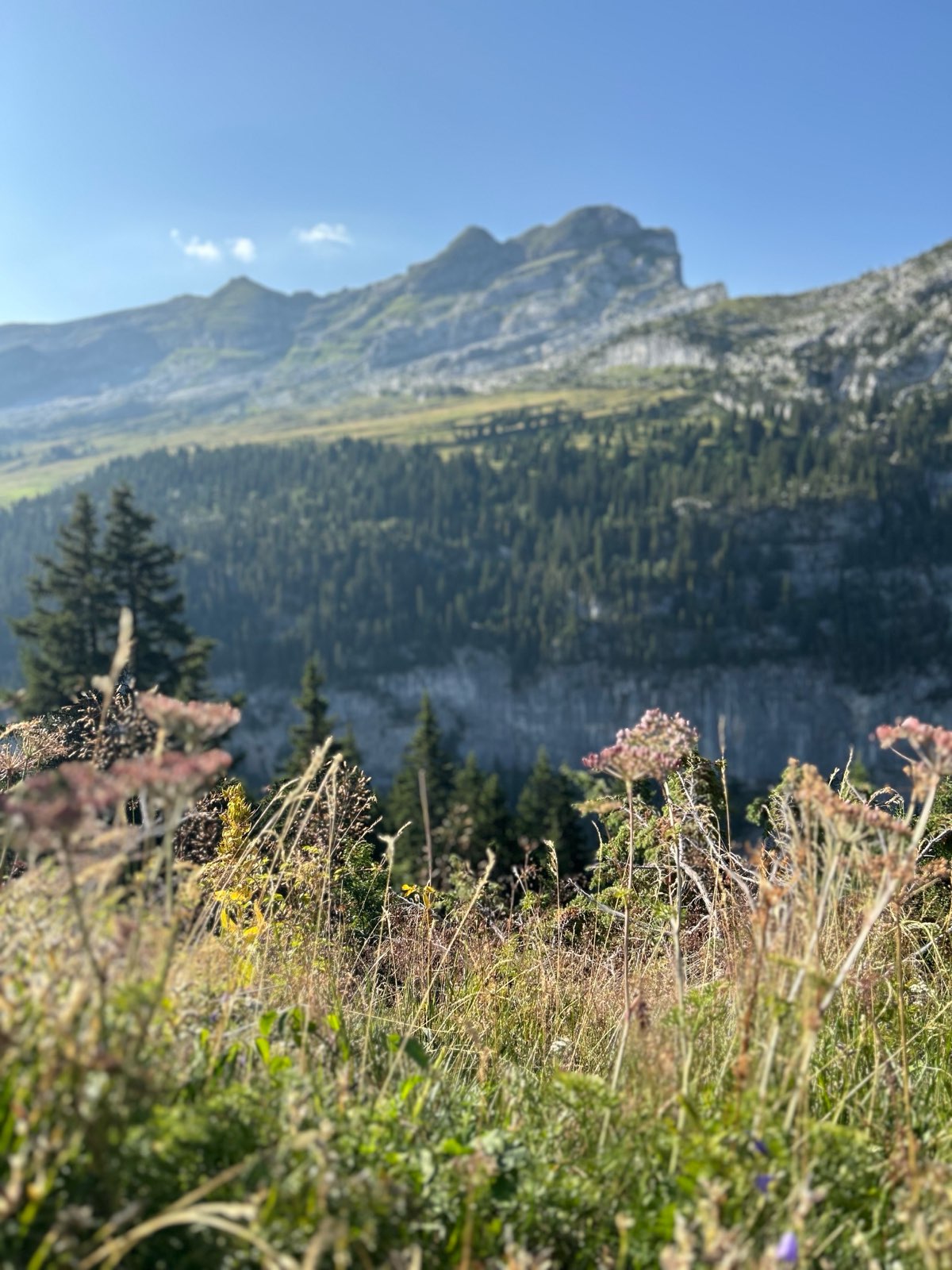
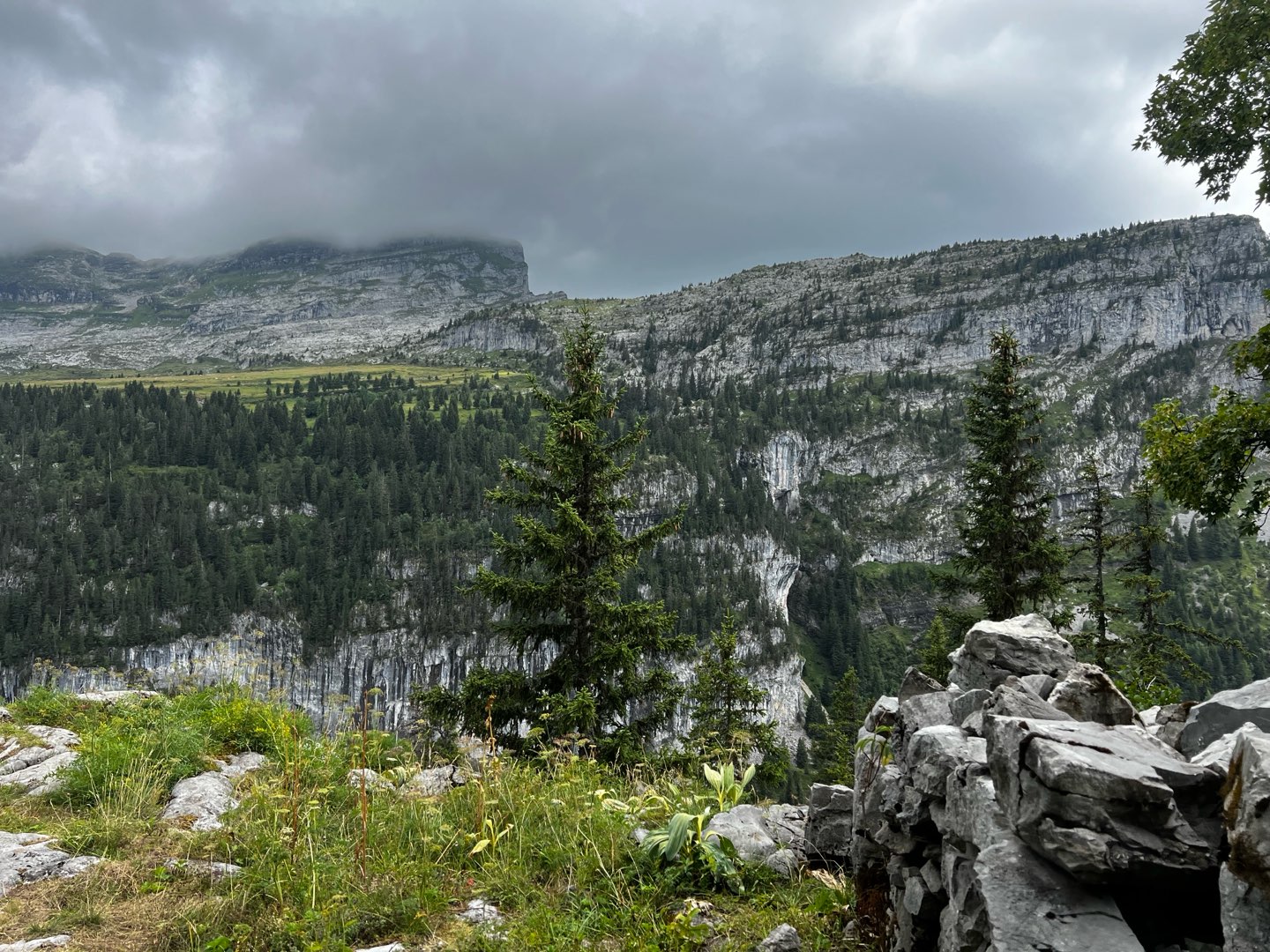
After crossing the Norwegian hamlet, you will be able to unroll in the forest, on a broad vegetable path above Flaine forest, for a last climb in the direction of the chalets of Aujon. The return by the road 4x4 descends by Célestine to join the Front of snow.
After crossing the Norwegian hamlet, you will be able to unroll in the forest, on a broad vegetable path above Flaine forest, for a last climb in the direction of the chalets of Aujon. The return by the road 4x4 descends by Célestine to join the Front of snow.
Area : Flaine
Report a problem
Fiche PDF Trail 3 Les Gérats The latest reviews & times
Yannoudoudou
finished in 01:38:00
The 2025/08/10
En savoir plus
Charlesthoreau
The 2025/07/29
En savoir plus
liloudallas
The 2025/06/29
En savoir plus
Ceddevilliers
finished in 01:43:00
The 2024/08/23
En savoir plus
Mario742
finished in 01:24:52
The 2021/08/28
En savoir plus
See all reviews & times
2025/06/29 liloudallas
2021/08/28 01:24:52
Mario742
Mario742
2021/08/28 01:24:52
Mario742
Mario742
Trail agréable. Je l'ai fait en partant des terrasses d'hélios pour finir par la montée des Gérats. Un peu dur sur la fin. Le tracé est bien balisé.
2021/08/14 Fetesuyouki-1979
Parcours sympathique pour initiation trail avec une petite erreur du coup 13km620
Début permettant un échauffement tranquille avant d’attaque la partie sérieuse de la montée puis phase recup en déroulant jusqu’à l’arrivée
Prévoir équipement plus eau
Permet la reco pour la randonnée au lac de Flaine en famille
2021/08/05 01:19:03
Fetesuyouki-1979
Fetesuyouki-1979
Parcours découverte sympa pour une initiation trail avec une belle montée avant de pouvoir dérouler dans la descente
2020/08/28 01:34:00
Dje3069
Dje3069
Beau parcours, il manque quelques directions, notamment vers le lac.
J'ai eu la chance de tomber nez a nez avec un bouquetin dans la montée vers le hameau. Il a eu plus peur que moi...
2019/07/27 01:34:00
NicRun
NicRun
Très beau parcours avec 2 grosses côtes : la remontée au bout du lac 1,1km à 25% de moyenne, et la remontée de la piste de ski 1
2025/08/10 01:38:00
Yannoudoudou
Yannoudoudou
de jolis chemins vers le lac, une belle montée brutale ensuite jusqu’aux chalets, puis des chemins de 4x4 caillouteux pour descendre. De jolies vues en 360
2025/06/29 liloudallas
2024/08/23 01:43:00
Ceddevilliers
Ceddevilliers
super parcours, manque simplement un balisage au niveau du lac pour être au top. la montée vers le golf nécessite un peu d’entraînement mais peut être réalisé plus tranquillement aussi
2021/08/28 01:24:52
Mario742
Mario742
2021/08/28 01:24:52
Mario742
Mario742
Trail agréable. Je l'ai fait en partant des terrasses d'hélios pour finir par la montée des Gérats. Un peu dur sur la fin. Le tracé est bien balisé.
2021/08/14 Fetesuyouki-1979
Parcours sympathique pour initiation trail avec une petite erreur du coup 13km620
Début permettant un échauffement tranquille avant d’attaque la partie sérieuse de la montée puis phase recup en déroulant jusqu’à l’arrivée
Prévoir équipement plus eau
Permet la reco pour la randonnée au lac de Flaine en famille
2021/08/05 01:19:03
Fetesuyouki-1979
Fetesuyouki-1979
Parcours découverte sympa pour une initiation trail avec une belle montée avant de pouvoir dérouler dans la descente
2020/08/28 01:34:00
Dje3069
Dje3069
Beau parcours, il manque quelques directions, notamment vers le lac.
J'ai eu la chance de tomber nez a nez avec un bouquetin dans la montée vers le hameau. Il a eu plus peur que moi...
2019/07/27 01:34:00
NicRun
NicRun
Très beau parcours avec 2 grosses côtes : la remontée au bout du lac 1,1km à 25% de moyenne, et la remontée de la piste de ski 1


Follow us on
the digital trails
the digital trails


![]()
Infos & contacts
Flaine Tourist Office
Tél. +33 (0)4 50 90 80 01
Les Carroz sports club
sports@aracheslafrasse.fr - Tél. +33 (0)4 50 90 24 80
Cluses Arve & montagnes Tourist Office
Tél. +33 (0)4 50 96 69 69
 Espace Trail Flaine - Les Carroz - Cluses Arve et Montagnes - Parcours - Circuit 3 blue - The Gerats
Hello, world! This is a toast message.
Espace Trail Flaine - Les Carroz - Cluses Arve et Montagnes - Parcours - Circuit 3 blue - The Gerats
Hello, world! This is a toast message.
Espace Trail Flaine - Les Carroz - Cluses Arve et Montagnes - Parcours - Circuit 3 blue - The Gerats
Hello, world! This is a toast message.


OK
Annuler