
Une aventure au coeur du Parc National des Cévennes
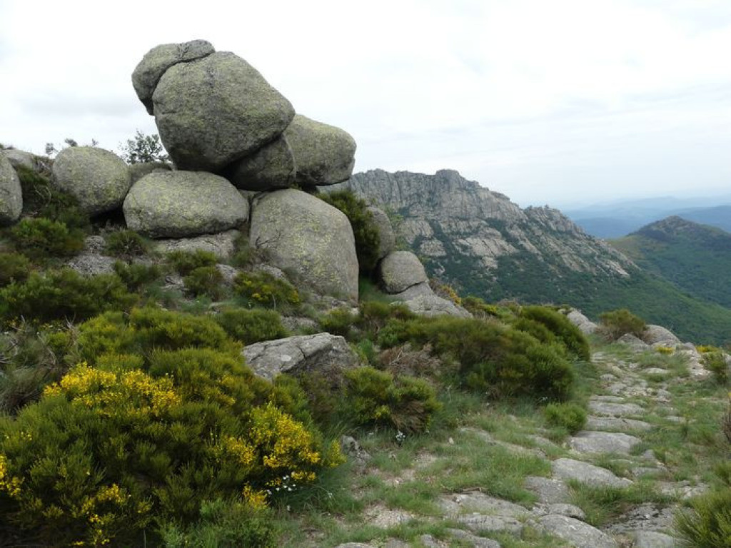
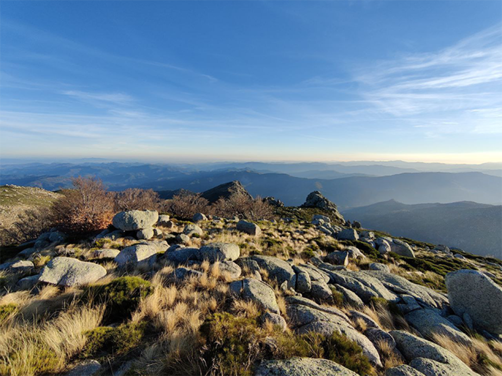
When only the technical difficulty of the circuit can compare with the beauty of the scenery… This expedition between the Cévennes and Mont Lozère is sheer happiness !
- Distance 26.6 km
- Elevation gain 1080 m
- Elevation lost 1080 m
- Min. elevation 518 m
- Max. elevation. 1439 m
- Duration (depending on pace) 3h
- Suivre le balisage Yes


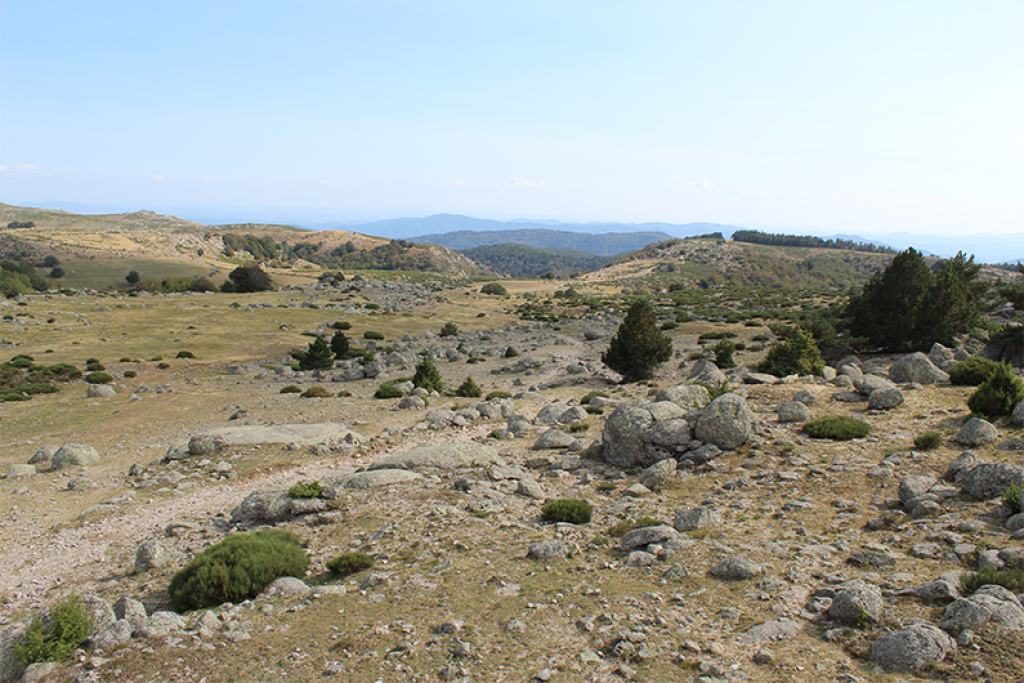
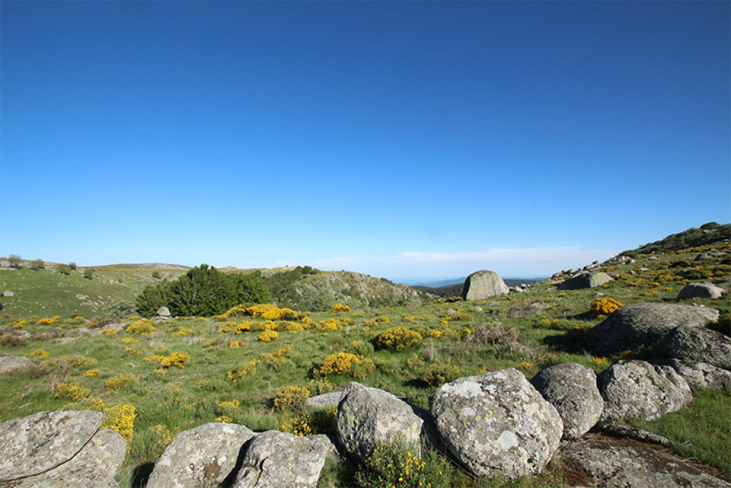
The first part is downhill on a pleasant path between undergrowth and wild pastures. On arrival in the magnificent hamlet of Gourdouze, you continue downhill to Vialas on a path that is open and rocky at first, then runs through the forest.A long ascent on a path with some fairly steep sections brings you to Les Tourrières. At Les Tourrières, you take the road for 1 km before climbing on a pretty path through rocky blockfields and grassy plains to the glorious Tarn bridge. You return to the departure point on a runnable track.
Follow the waymarks for trail #21.
Signposts will guide you all along this route, as well as yellow painted waymarks. In the description below, the signposted place names and/or directions are given in bold italics between quotation marks:
Starting at "Mas de La Barque", head for "Gourdouze" via :
- "Les écuries de Mas de La Barque",
- "Rochers de la barque" (2x),
- "Les faux des Armes" and
- "La Chassalde".
- At "Gourdouze", go downhill to Vialas and go to:
- « Rompidou »,
- "Maison de retraite",
- then « La Vigne ». Go to:
- “Plagette”,
- “Lou devez”,
- “La tranchée”,
- “Légaou”,
- "Rieutord" (2x). Head for "Les Tourrières" via :
- "Les Polimies Hautes".
- At "Les Tourrières", go to "L'Aubaret" via :
- "La Boulade" and
- "Pont de l'Aubaret".
- At "L'Aubaret", head for
- " Gap Francès" and "Pont du Tarn".
- At "Pont du Tarn", return to "Mas de La Barque" via
- "Les Nasses du Pont des eaux",
- "Bois du Commandeur",
- "Bouos de l'Oultre",
- "La Planette",
- "Sénégrières",
- “Gardièze”,
- "Martelet" and "Mas de La Barque".
This trail is taken from the guidebook Mont Lozère - Pays des sources, published by the Pôle de pleine nature du mont Lozère.
Parking : Mas de la Barque
Attention présence de chien(s) de protection (patou-s) sur les secteurs des Tourrières et de l'Aubaret, adaptez votre comportement.
Avant de vous engager sur un circuit, vérifiez qu'il est adapté à votre activité et à votre niveau. N'oubliez pas que le temps change vite en montagne. Refermez bien les clôtures et les portillons. Restez sur les chemins balisés
Get all the routes on your smartphone with the Lozère outdoor app. You'll find all outdoor activities (summer and winter seasons) and a host of functions :
- Take advantage of detailed IGN maps
- Download data for consultation even when you're not connected to the network
- Geolocate yourself at any time on the route and altimeter profile
- Activate the off-track alarm to be alerted if you stray from the itinerary
- Share your experience (add a report, share your lap time)...


the digital trails


![]()
The Lozère Outdoor application was created
by the Lozère Department
Infos & contacts
Conseil départemental de la Lozère
sportsnature@lozere.fr
+33(0)4 66 49 66 32
Crédits photos
 Lozère Outdoor - Parcours - Gourdouze valley, Trail #21
Lozère Outdoor - Parcours - Gourdouze valley, Trail #21
Lozère Outdoor - Parcours - Gourdouze valley, Trail #21
Lozère Outdoor - Parcours - Gourdouze valley, Trail #21
Lozère Outdoor - Parcours - Gourdouze valley, Trail #21

