Bassy - Trail n°11v
Add to my favorites

Route opened

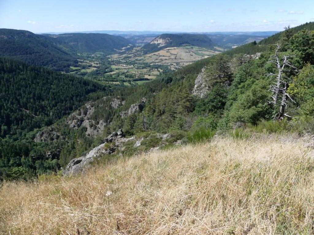
Un court parcours dans les gorges du Bramont, mais qui vaut le crochet !
Passerelle, hameau caché, jolis petits sentiers ; Ces cinq kilomètres vont très vite passer.
The characteristics of the route.

Saint-Etienne du Valdonnez (48)
- Distance 5.6 km
- Elevation gain 300 m
- Elevation lost 300 m
- Min. elevation 868 m
- Max. elevation. 1159 m
- Duration (depending on pace) 0h27
- Marking Yes
Suivre le balisage Trail n°11v
Le long de l'itinéraire, des poteaux directionnels vous guident. Les lieux-dits et/ou les directions à suivre sont indiqué(e)s en italique gras et entre guillemets dans le descriptif ci-dessous:
Départ "Saint-Etienne du Valdonnez », aller sur « Gorges du Bramont » et continuer jusqu’à « passerelle du Bramont ». Au niveau de « Passerelle du Bramont », monter sur « Bassy » puis retour sur « Saint Etienne du Valdonnez » par « Chemin de Bassy » .
Circuit trail extrait du cartoguide Mont Lozère- Pays des sources, de la montagne du Goulet aux gorges du Bramont, réalisé par le pôle de Pleine nature mont Lozère.
Parking : Mairie
Area : Espace Trail Mont Lozère
Report a problem Add a comment
Pdf file
Add your time and share your feelings
OK
Annuler


