Cyclo. Pays de Murat, entre Alagnon, Pinatelle et Santoire
Add to my favorites

Route opened
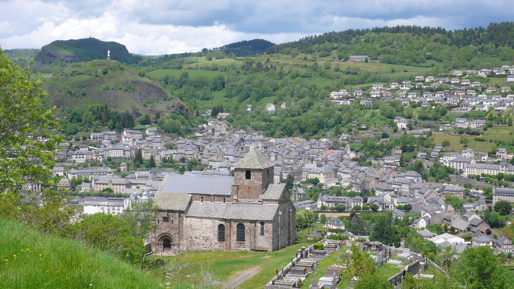
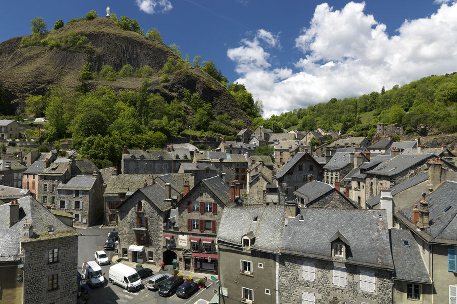
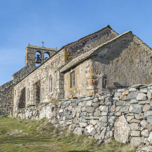
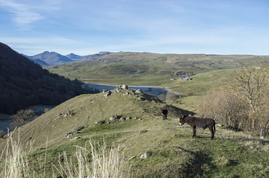
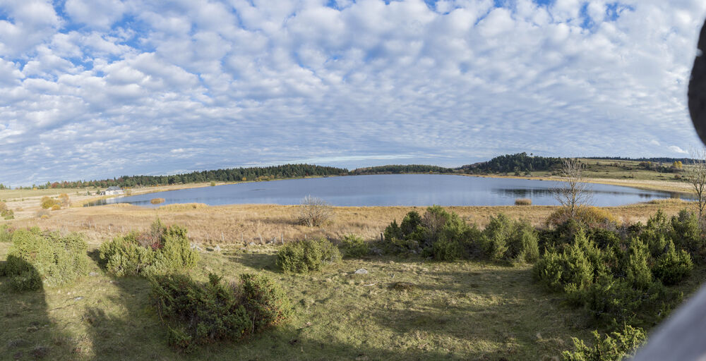
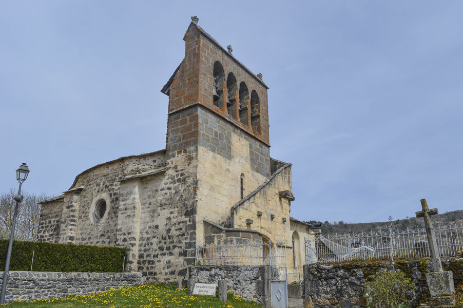
Porte d'entrée des Monts du Cantal, ce parcours décline une diversité de paysages marqués par l'activité de l'ancien volcan: sommets, vallées, rivières, forêts et plateaux basaltiques jalonnent l'itinéraire entre Alagnon, Pinatelle et Santoire.
The characteristics of the route.
Murat (15)
- Distance 68.4 km
- Elevation gain 1290 m
- Elevation lost 1290 m
- Min. elevation 797 m
- Max. elevation. 1232 m
- Duration (depending on pace) 5h50
- Marking No
Equipments : Public WC, Car park, Admission fee : Free access.Opening : All year round.
Subject to favorable weather.
Report a problem Add a comment
Website
Add your time and share your feelings
Services nearby
Céline Lepage Broderie d'Art
Murat

La Crêperie
Murat

Lagloire Jean-Claude
Murat
La Coustoune
Murat
Le Comptoir
Murat


Information updated on 2021-03-26 by Hautes Terres Tourisme


Contact Carladès area
Carladès Tourist Office
Avenue A. Mercier
15800 Vic-sur-Cère
Tel. 04.71.47.50.68
Carladès Tourisme
tourisme@carlades.fr
![]()
Contact Hautes Terres area
Hautes Terres Tourist Office
Pl. Hôtel de ville - 15300 Murat
Tel. 04.71.20.09.47
Hautes Terres Tourisme
contact@hautesterrestourisme.fr
@hautesterrestourisme
@hautesterrestourisme


OK
Annuler