Route 20 blue - Les Boissines
Add to my favorites

Route opened

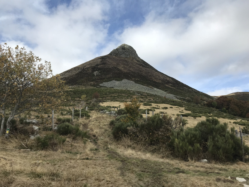
Reach Puy Griou summit, one of the wonders of Auvergne volcanism, with its phonolite cone: a stone that rings when you hit it. Culminating at 1690 m, this emblematic summit of Cantal will offer you a spectacular panorama, dominating the valley of the Jordanne and the valley of Cère.
The characteristics of the route.

Saint-Jacques-des-Blats (15)
- Distance 15.1 km
- Elevation gain 800 m
- Elevation lost 790 m
- Min. elevation 982 m
- Max. elevation. 1677 m
- Duration (depending on pace) 2h à 3h40
- Marking Soon
Add your time and share your feelings
Services nearby

Peyronnet Marie - Au Gigot Poivré
Saint-Jacques-des-Blats

Peyronnet Marie - Au Gigot Poivré
Saint-Jacques-des-Blats

Bardy Laetitia et Labonne Ludovic
Saint-Jacques-des-Blats

Camping des Blats
Saint-Jacques-des-Blats

Le Griou
Saint-Jacques-des-Blats
OK
Annuler


