
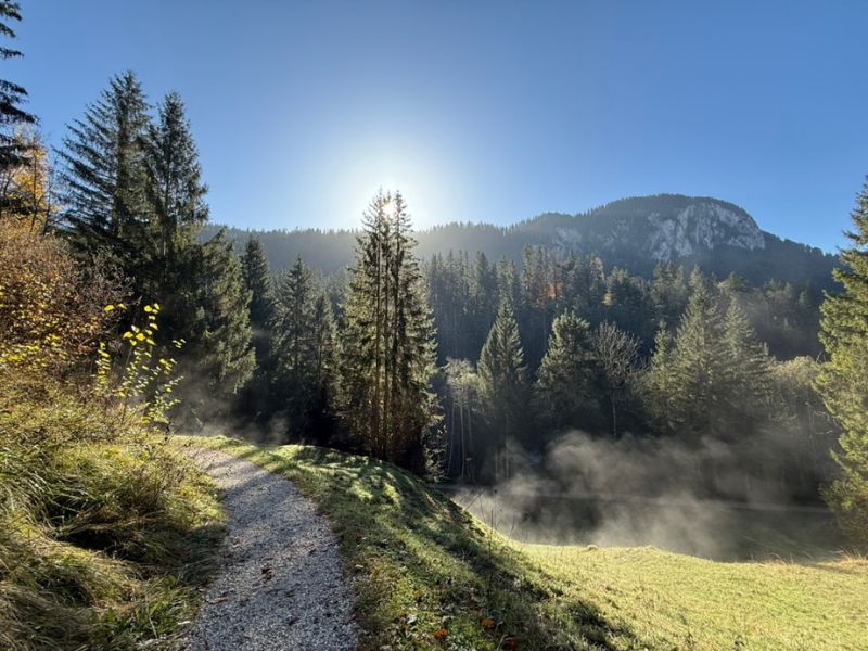
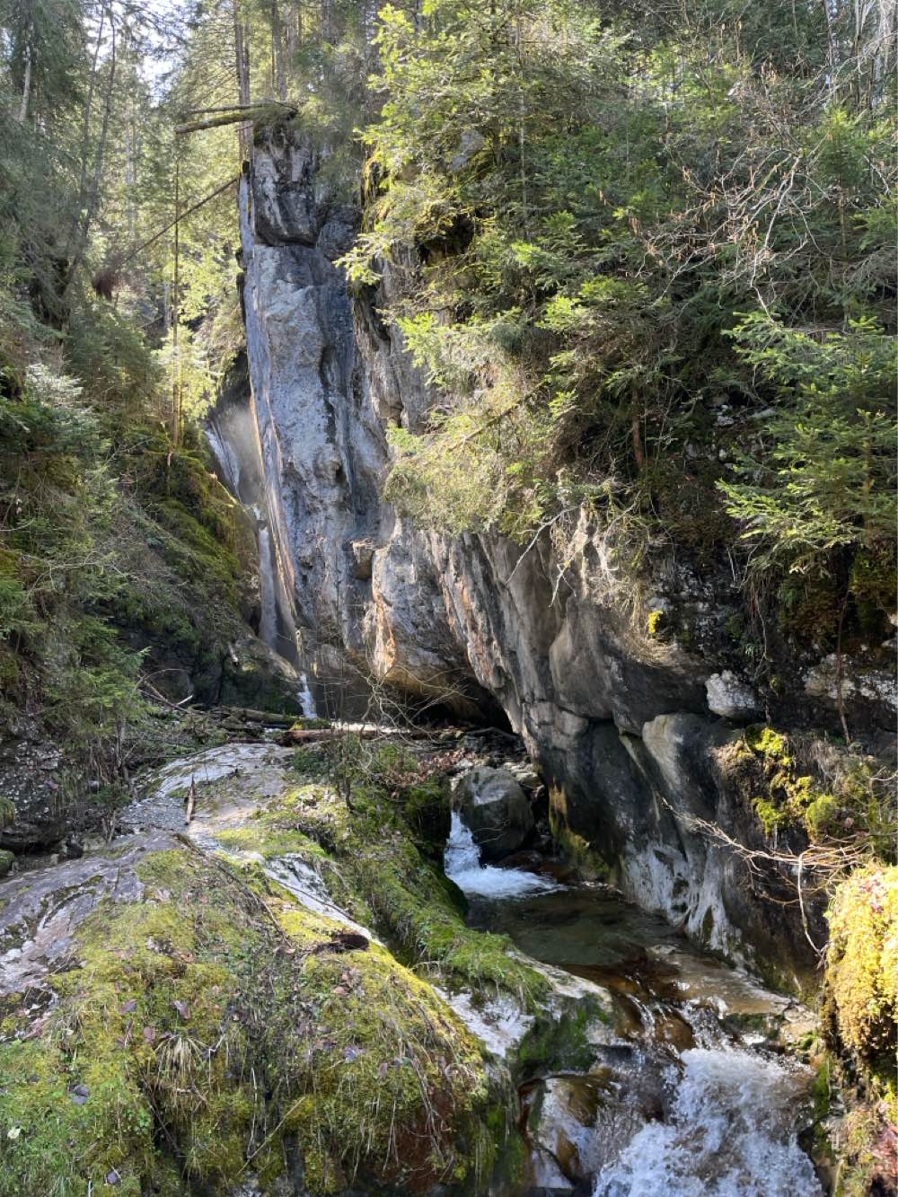
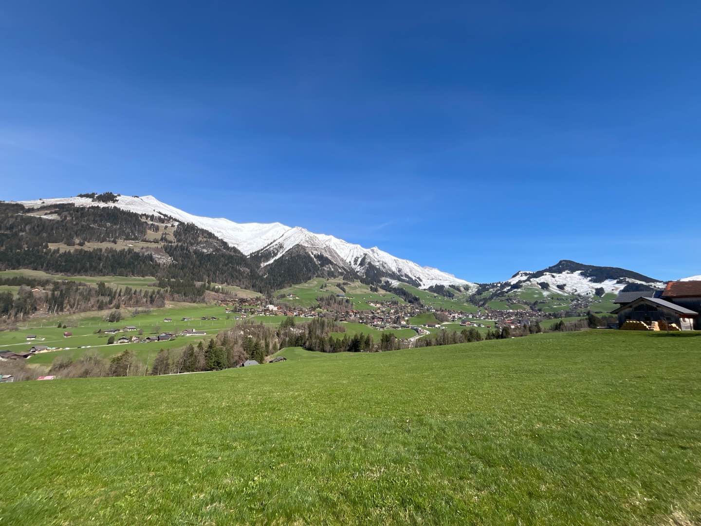
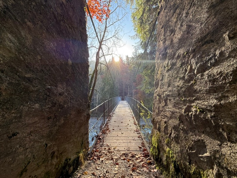
Starting from Château-d'Œx, enjoy a dynamic loop full of contrasts! A mix of footpaths, forest tracks and minor roads, the route takes you first to Pont Turrian before winding along the right bank of the Sarine. After the hamlet of La Rosettaz, it's time for a climb: a forest path that starts out gentle, then becomes more demanding, takes you up to Les Bochaires, the high point of the route. The descent to La Tonna gives you a chance to unwind your stride, between paths and playful tracks, before a gentle return along a shady road on the left bank of the Sarine. You will then cross the splendid Pont Turrian to reach Château-d'Œx.

- Distance 9.25 km
- Elevation gain 384 m
- Elevation lost 384 m
- Min. elevation 901 m
- Max. elevation. 1172 m
- Duration (depending on pace) 1h à 2h
- Marking Hiking + Trail-running
Find all the routes of the Espace Trail du Pays d'Enhaut free of charge on your smartphone using Trail Connect app, in ‘Outdoor Destinations’ section.
Features available :
- Geolocation at any time on the map and elevation profile
- Download data for consultation even in offline mode
- View trail opening status
- Download GPX file
- 'Go to start’ button for easy access to the start of the routes
- ...


the digital trails


![]()
Pays d'Enhaut Région Économie et Tourisme
Chemin des Ballons 2,
1660 Chateau-d'Oex
(+41) 26 924 25 25
info@pays-denhaut.ch
 Pays-d'Enhaut - Parcours - Route 2 - La Boucle du Pont Turrian
Pays-d'Enhaut - Parcours - Route 2 - La Boucle du Pont Turrian
Pays-d'Enhaut - Parcours - Route 2 - La Boucle du Pont Turrian
Pays-d'Enhaut - Parcours - Route 2 - La Boucle du Pont Turrian
Pays-d'Enhaut - Parcours - Route 2 - La Boucle du Pont Turrian

