Route 4 - Les alpages des Rodomonts
Add to my favorites

Route opened
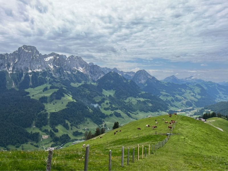
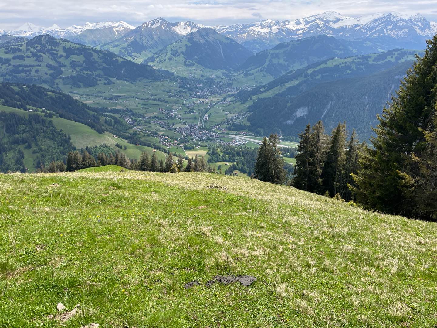
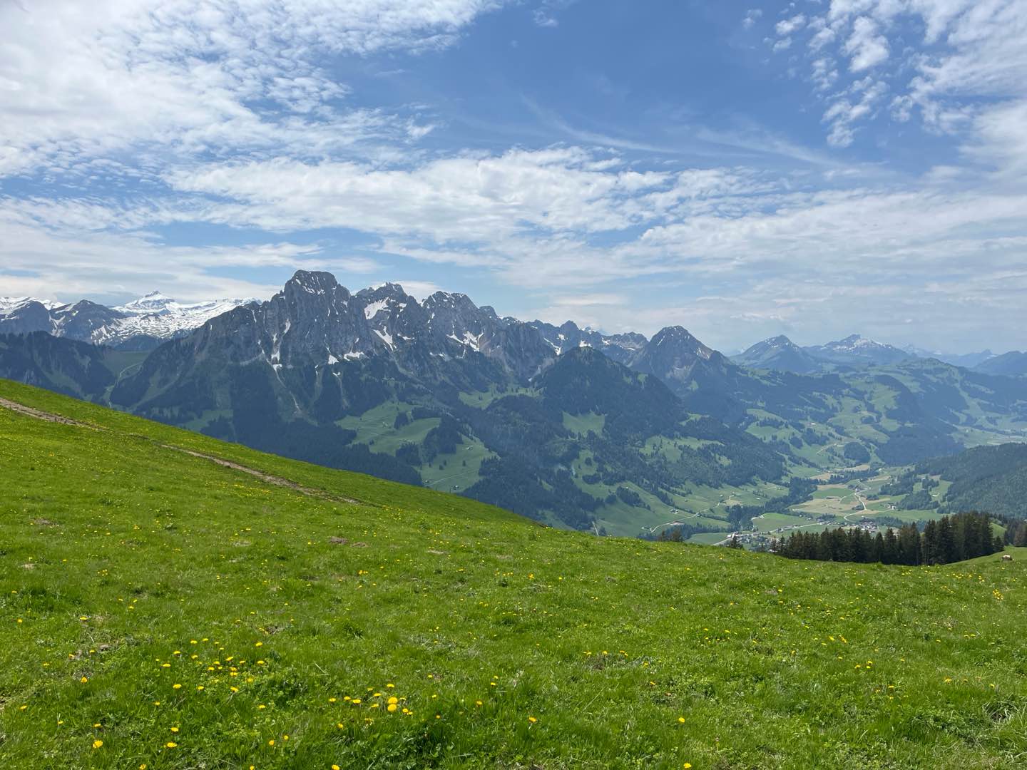
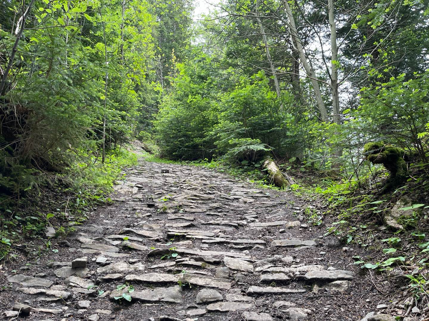
From Rougemont station, set off on a short but intense circuit that takes you up to the Rodomonts mountain pasture and its 360° panorama! With gradients in excess of 30%, this demanding route is ideal for trail runners looking for a relatively short distance with a high gradient. This route is quickly accessible at the end of winter, making it ideal for early-season training !
The characteristics of the route.

Rougemont (CH)
- Distance 11.07 km
- Elevation gain 899 m
- Elevation lost 899 m
- Min. elevation 992 m
- Max. elevation. 1870 m
- Duration (depending on pace) 1h30 à 3h
- Marking Hiking + trail-running
Report a problem
Pdf file route 4 Routes in your mobile phone
Find all the routes of the Espace Trail du Pays d'Enhaut free of charge on your smartphone using Trail Connect app, in ‘Outdoor Destinations’ section.
Features available :
- Geolocation at any time on the map and elevation profile
- Download data for consultation even in offline mode
- View trail opening status
- Download GPX file
- 'Go to start’ button for easy access to the start of the routes
- ...

Add your time and share your feelings


Follow us on
the digital trails
the digital trails


![]()
Pays d'Enhaut Région Économie et Tourisme
Chemin des Ballons 2,
1660 Chateau-d'Oex
(+41) 26 924 25 25
info@pays-denhaut.ch
 Pays-d'Enhaut - Parcours - Route 4 - Les alpages des Rodomonts
Hello, world! This is a toast message.
Pays-d'Enhaut - Parcours - Route 4 - Les alpages des Rodomonts
Hello, world! This is a toast message.
Pays-d'Enhaut - Parcours - Route 4 - Les alpages des Rodomonts
Hello, world! This is a toast message.


OK
Annuler