Route 7 - La Pointe du Chevrier
Add to my favorites

Route opened
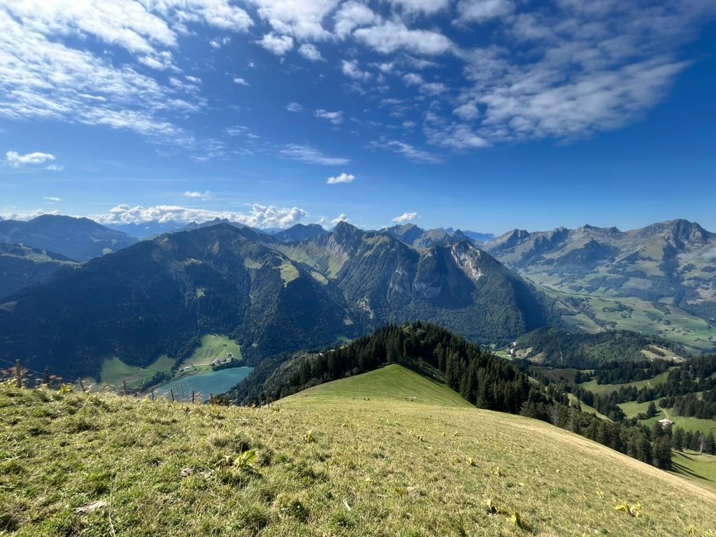
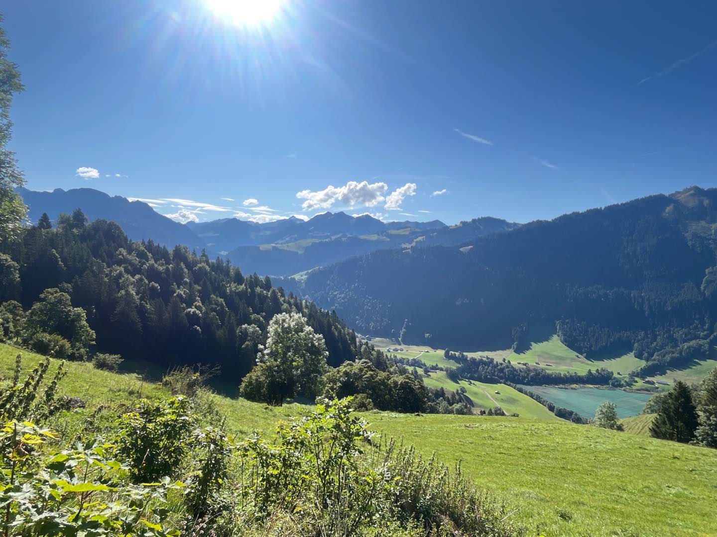
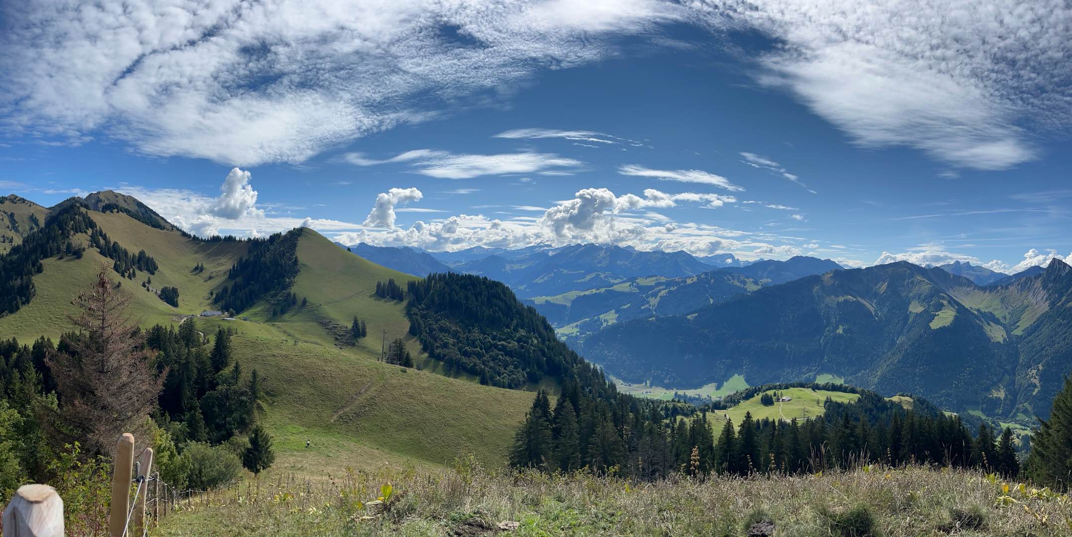
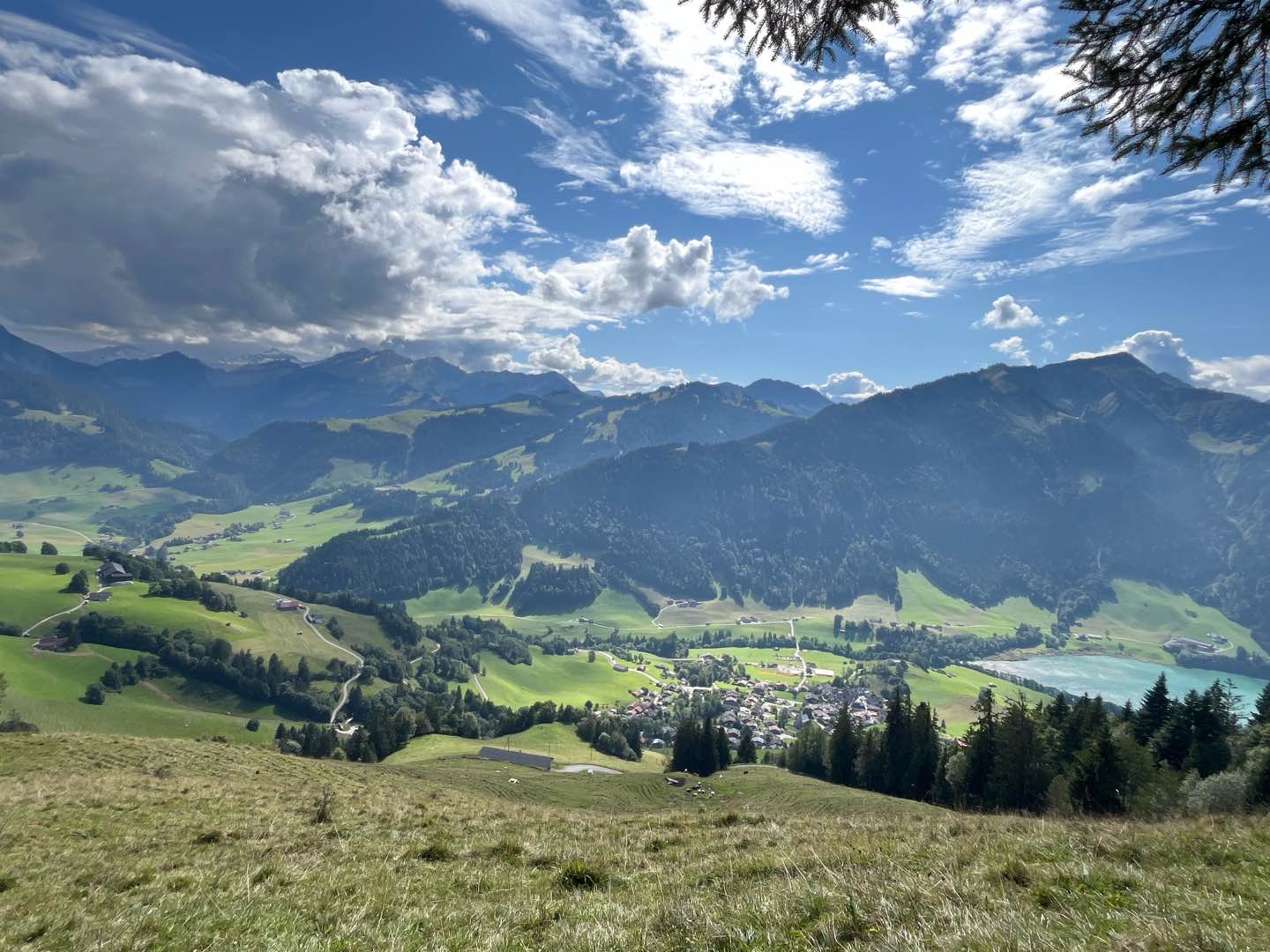
Departing from Rossinière station, this resolutely Alpine route takes you up to the Aiguille at 1713m before circling around the Pointe du Chevrier. Then it's time for an immersive descent into the heart of the forest, towards the Clou des Mis. A short stretch of balcony road offers a breath of fresh air and panoramic views, before plunging into the authentic atmosphere of the village lanes for a charming finish.
The characteristics of the route.

Rossinière (CH)
- Distance 15.46 km
- Elevation gain 1099 m
- Elevation lost 1099 m
- Min. elevation 893 m
- Max. elevation. 1774 m
- Duration (depending on pace) 2h à 4h
- Marking Hiking + Trail-running
Report a problem
Pdf route file 7 Routes in your mobile phone
Find all the routes of the Espace Trail du Pays d'Enhaut free of charge on your smartphone using Trail Connect app, in ‘Outdoor Destinations’ section.
Features available :
- Geolocation at any time on the map and elevation profile
- Download data for consultation even in offline mode
- View trail opening status
- Download GPX file
- 'Go to start’ button for easy access to the start of the routes
- ...

Add your time and share your feelings


Follow us on
the digital trails
the digital trails


![]()
Pays d'Enhaut Région Économie et Tourisme
Chemin des Ballons 2,
1660 Chateau-d'Oex
(+41) 26 924 25 25
info@pays-denhaut.ch
 Pays-d'Enhaut - Parcours - Route 7 - La Pointe du Chevrier
Hello, world! This is a toast message.
Pays-d'Enhaut - Parcours - Route 7 - La Pointe du Chevrier
Hello, world! This is a toast message.
Pays-d'Enhaut - Parcours - Route 7 - La Pointe du Chevrier
Hello, world! This is a toast message.


OK
Annuler