
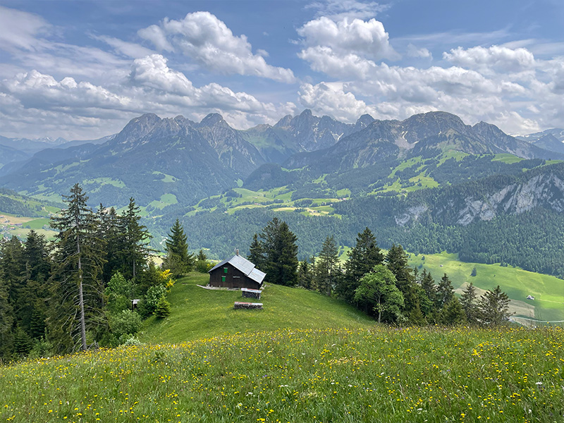
Discover this route linking the villages of Château-d'Œx, Rossinière and L'Etivaz. Alternating between shady forests, verdant mountain pastures and picturesque hamlets, it offers a wide variety of landscapes and terrain. On this itinerary, you'll make four beautiful ascents, each crowned by magnificent panoramas of the valley and surrounding peaks.
Marking: Follow trail marking 8 (Château d'Œx - Rossinière), 9 (Rossinière - L'Etivaz) and 10 (L'Etivaz - Château d'Œx).
The route can also be taken from Rossinière or L'Etivaz.

- Distance 39.17 km
- Elevation gain 2479 m
- Elevation lost 2479 m
- Min. elevation 870 m
- Max. elevation. 1660 m
- Duration (depending on pace) 5h30 à 11h
Find all the routes of the Espace Trail du Pays d'Enhaut free of charge on your smartphone using Trail Connect app, in ‘Outdoor Destinations’ section.
Features available :
- Geolocation at any time on the map and elevation profile
- Download data for consultation even in offline mode
- View trail opening status
- Download GPX file
- 'Go to start’ button for easy access to the start of the routes
- ...


the digital trails


![]()
Pays d'Enhaut Région Économie et Tourisme
Chemin des Ballons 2,
1660 Chateau-d'Oex
(+41) 26 924 25 25
info@pays-denhaut.ch
 Pays-d'Enhaut - Parcours - Circuit 11 - Grand Tour du Pays d'Enhaut
Pays-d'Enhaut - Parcours - Circuit 11 - Grand Tour du Pays d'Enhaut
Pays-d'Enhaut - Parcours - Circuit 11 - Grand Tour du Pays d'Enhaut
Pays-d'Enhaut - Parcours - Circuit 11 - Grand Tour du Pays d'Enhaut
Pays-d'Enhaut - Parcours - Circuit 11 - Grand Tour du Pays d'Enhaut

