Route 12 - L'Etivaz - Rougemont
Add to my favorites

We need to check if the course is fully accessible, we’ll tell you more before May 10th!
Route closed
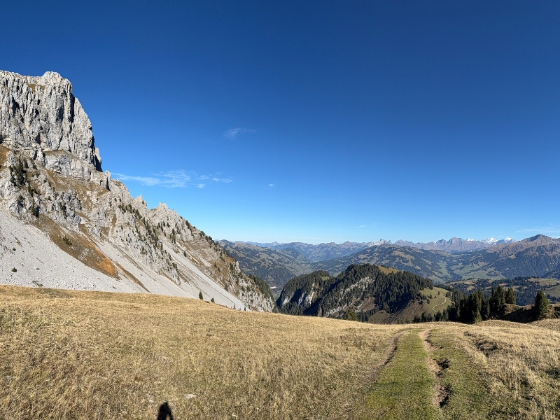
Starting from L'Etivaz, this cross-country route will take you to Rougemont via the Col de Jable, Wilde Bode and the mountain pastures at the foot of La Videmanette, offering magnificent views !
The characteristics of the route.

L'Etivaz (CH)
- Distance 20.53 km
- Elevation gain 1330 m
- Elevation lost 1510 m
- Min. elevation 968 m
- Max. elevation. 1947 m
- Duration (depending on pace) 2h30 à 5h
- Marking No trail-running marking-signs
Report a problem
Routes in your mobile phone
Find all the routes of the Espace Trail du Pays d'Enhaut free of charge on your smartphone using Trail Connect app, in ‘Outdoor Destinations’ section.
Features available :
- Geolocation at any time on the map and elevation profile
- Download data for consultation even in offline mode
- View trail opening status
- Download GPX file
- 'Go to start’ button for easy access to the start of the routes
- ...

Add your time and share your feelings


Follow us on
the digital trails
the digital trails


![]()
Pays d'Enhaut Région Économie et Tourisme
Chemin des Ballons 2,
1660 Chateau-d'Oex
(+41) 26 924 25 25
info@pays-denhaut.ch
 Pays-d'Enhaut - Parcours - Route 12 - L'Etivaz - Rougemont
Hello, world! This is a toast message.
Pays-d'Enhaut - Parcours - Route 12 - L'Etivaz - Rougemont
Hello, world! This is a toast message.
Pays-d'Enhaut - Parcours - Route 12 - L'Etivaz - Rougemont
Hello, world! This is a toast message.


OK
Annuler