Le Plan de l'Aar
Add to my favorites

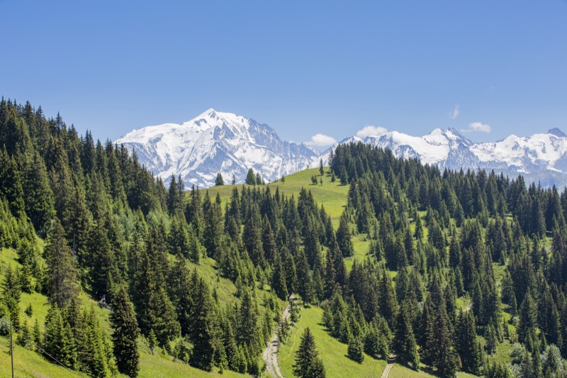
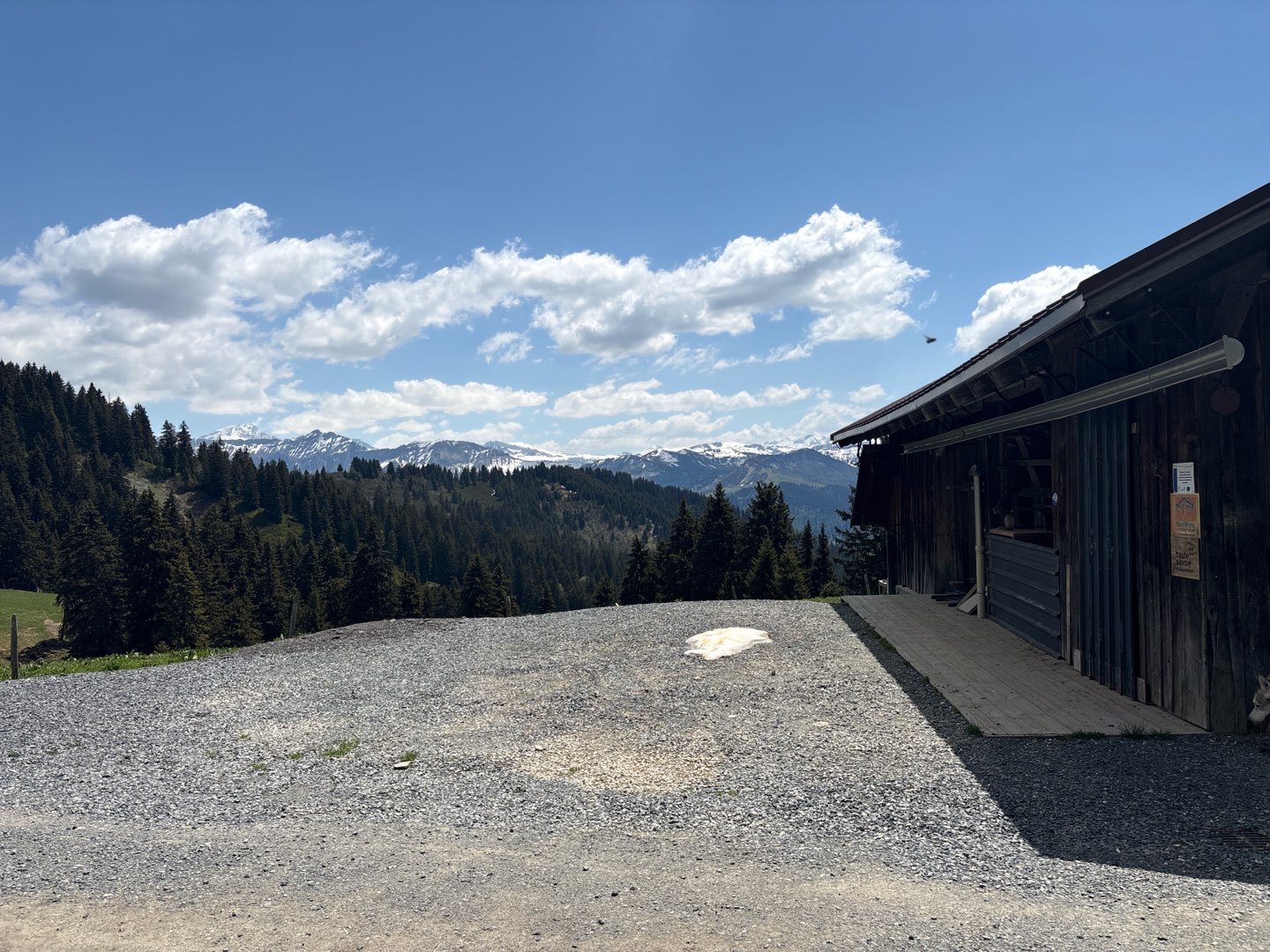
A lovely family destination opposite Mont Blanc and the Beaufortain. This forest path leads towards the mountains refuge where one enjoys a friendly welcome. Snacks and local produce for sale.Children will love the presence of farm animals.
The characteristics of the route.
Praz-sur-Arly (74)
- Distance 5 km
- Elevation gain 570 m
- Elevation lost 10 m
- Min. elevation 1177 m
- Max. elevation. 1733 m
- Duration (depending on pace) 3h40
- Marking Hiking
From the car park, walk in the direction of "plan de l'Aar" and take the tarmac road. When you reach the hameau des Plans, walk past the farmhouses and continue through the forest along the track that leads to the refuge.
Area : La Tonnaz
Report a problem
Plan de l'Aar The latest reviews & times
AR4243
The 2026/05/24
En savoir plus
Sangeb
finished in 03:50:00
The 2022/07/12
En savoir plus
Benoit_80
finished in 03:00:00
The 2020/08/07
En savoir plus
See all reviews & times
2022/07/12 03:50:00
Sangeb
Sangeb
2h20 d’ascension. Enfants ravis de voir les animaux. Hôtes très accueillants.
2020/08/07 03:00:00
Benoit_80
Benoit_80
Via épines blanches depuis la tonnaz puis descente via charmots et GR descendant au Rein d'en haut
Services nearby

Intersport - Curtet Sport
Praz-sur-Arly
Curtet sport 2000
Praz-sur-Arly
Mountain Plus-SKIMIUM
Praz-sur-Arly
woops Store
Praz-sur-Arly
Emonet Sports - SKISET
Praz-sur-Arly


Follow us on
the digital trails
the digital trails


![]()
Office de Tourisme de Praz sur Arly
54 Route du Val d'Arly
74 120 PRAZ-SUR-ARLY
+33(0)4 50 21 90 57
Office de Tourisme
Contact mail
 Praz sur Arly Destination Trail - Parcours - Le Plan de l'Aar
Hello, world! This is a toast message.
Praz sur Arly Destination Trail - Parcours - Le Plan de l'Aar
Hello, world! This is a toast message.
Praz sur Arly Destination Trail - Parcours - Le Plan de l'Aar
Hello, world! This is a toast message.


OK
Annuler