
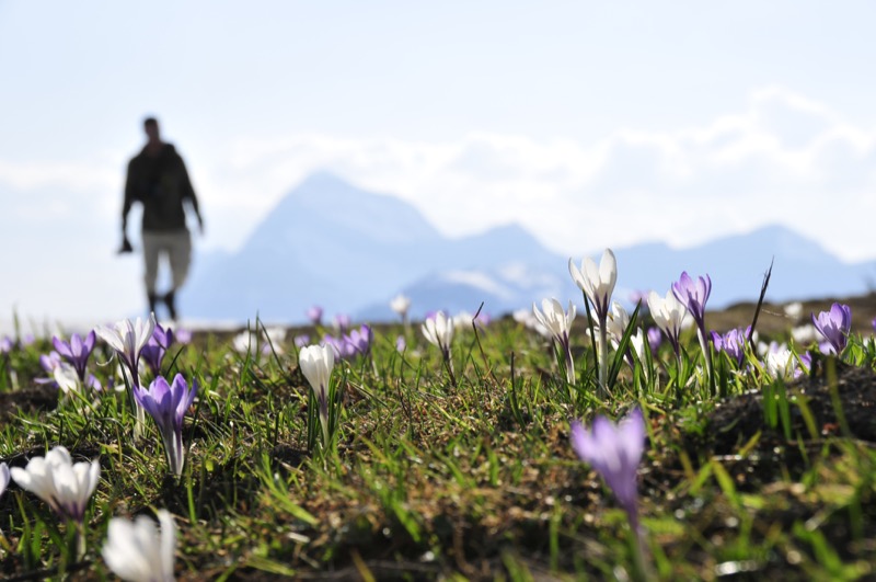
Also called " Tête des trois coins", close to "Véry", this spot is representative of neighboring Beaufortain pastures. This itinerary enables you to climb three classic mountains in Praz sur Arly : Crêt du Midi, Ban rouge and Mont de Vorès
- Distance 18.87 km
- Elevation gain 1180 m
- Elevation lost 1180 m
- Min. elevation 1009 m
- Max. elevation. 2065 m
- Duration (depending on pace) 7h30
- Marking Hiking
Take the "chemin des Châteaux/Chevan". Before the "ferme de chevan" walk downwards to to he right. You will come to a bridge and chairlift. Clib up towards "Sérasson" and "Petit Tétras" until you reach a dirt track. Walk to the left along a road that then becomes a path. When you reach the drag lift follow the "Chemin de crête" in direction of "Ban rouge" and the "col de Basse Combe" mountain pass. The path to the left leads you rapidly towards "Mont de Vorès". Wide path to the right towards Mont de Vorès.
During summer, the Crêt du Midi chairlift operates from Sunday to Thrusday. This allows you to shorten the hike.




the digital trails





Office de Tourisme de Praz sur Arly
54 Route du Val d'Arly
74 120 PRAZ-SUR-ARLY
+33(0)4 50 21 90 57
Office de Tourisme
Contact mail
 Praz sur Arly Destination Trail - Parcours - Mont de Vorès
Praz sur Arly Destination Trail - Parcours - Mont de Vorès
Praz sur Arly Destination Trail - Parcours - Mont de Vorès
Praz sur Arly Destination Trail - Parcours - Mont de Vorès
Praz sur Arly Destination Trail - Parcours - Mont de Vorès

