Tour of the Lac de Flérier and villages
Add to my favorites

Route opened
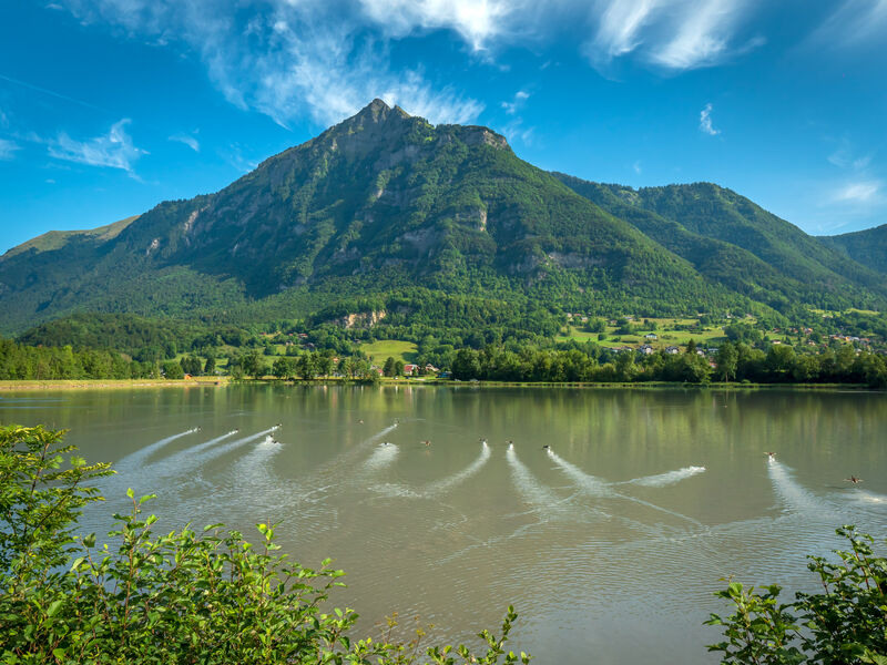
A nature and culture trail This easy trail is a great way to explore the shores of the Lac de Flérier, as well as the villages of Flérier and Taninges.
The characteristics of the route.
Taninges (74)
- Distance 6.4 km
- Elevation gain 180 m
- Elevation lost 180 m
- Min. elevation 612 m
- Max. elevation. 783 m
- Duration (depending on pace) 2h30
- Marking Yes
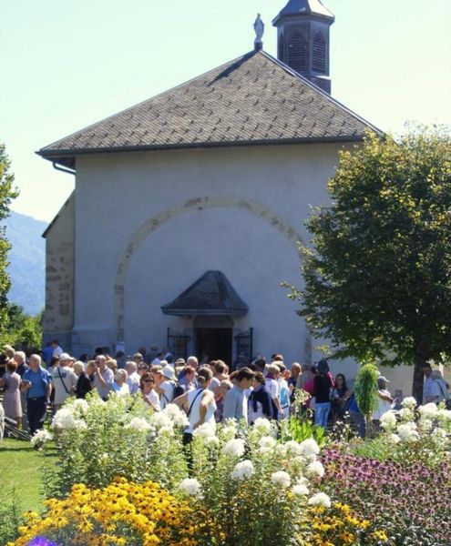
The village of Flérier was the former historic centre of Taninges with a chapel, bread oven and wash-house.Equipments : Car park, Picnic area, Admission fee : Free access.Opening : All year round.
Subject to favorable snow and weather conditions.
Read before you go!
Adapt your equipment according to your level and the weather. Do not leave the marked trails.
Adapt your equipment according to your level and the weather. Do not leave the marked trails.
Area : Taninges
Report a problem Add a comment
Circuit du lac de Flérier et des villages Pdf file
Add your time and share your feelings


Information updated on 2024-04-23 by Praz de Lys Sommand Tourisme


Follow us on
the digital trails
the digital trails


![]()
Infos & contacts
Praz de Lys Sommand Tourisme
www.prazdelys-sommand.com
04.50.34.25.05
accueil@prazdelys-sommand.com


OK
Annuler