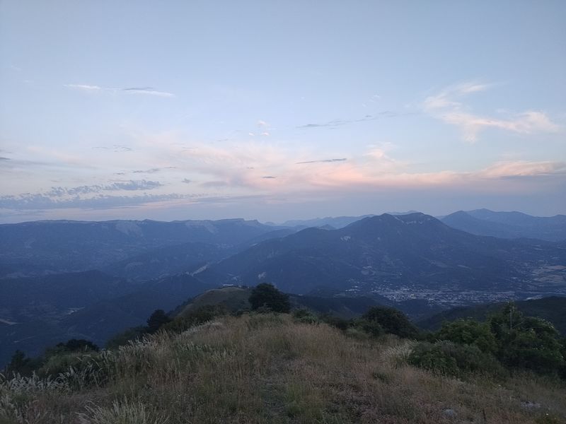
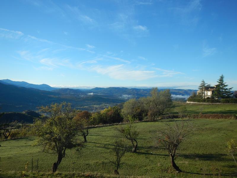
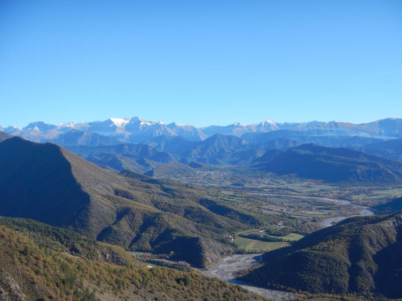
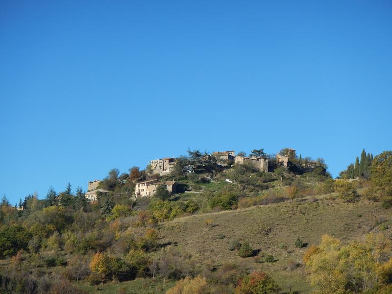
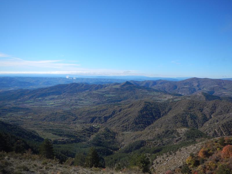
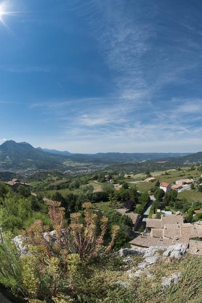
Sommet de Martignon (1430 m)
Add to my favorites

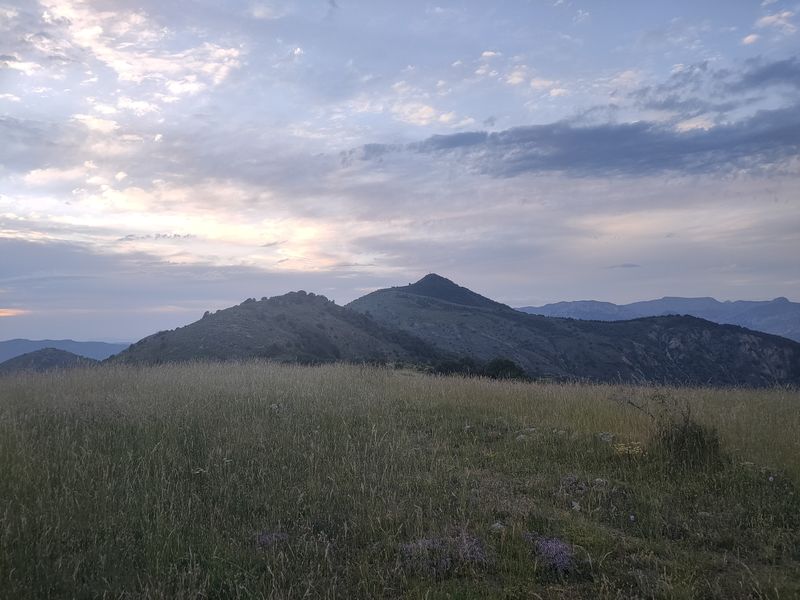
Departure from the tourist office. Itinerary to the summit of Martignon (1430 m), with the option of continuing to the Bigue du Siron (1653 m) add 1h30 and 5 km for La Bigue.
The characteristics of the route.

Digne-les-Bains (04)
- Distance 13.88 km
- Elevation gain 900 m
- Elevation lost 900 m
- Min. elevation 588 m
- Max. elevation. 1422 m
- Duration (depending on pace) 5h
- Suivre le balisage Yes


Area : Digne-les-Bains
Report a problem
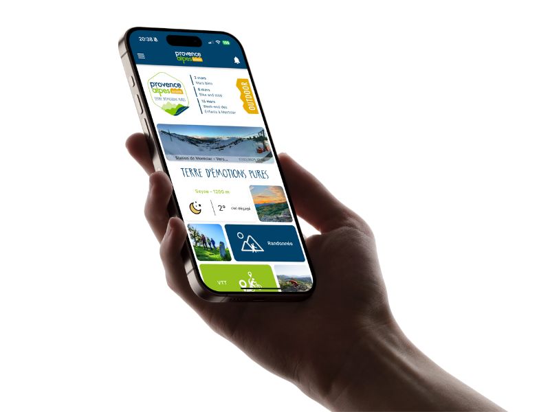
THIS ROUTE IN YOUR MOBILE PHONE
Download Provence Alpes Outdoor app
Get all the routes on your smartphone with the Provence Alpes outdoor app. You'll find a host of functions :
- Take advantage of detailed IGN maps
- Download data for consultation even when you're not connected to the network
- Geolocate yourself at any time on the route and altimeter profile
- Activate the off-track alarm to be alerted if you stray from the itinerary
- Find nearby services
- Share your experience (add a report, share your lap time)...
Add your time and share your feelings


Information updated on 2025-04-03 by Office de Tourisme Provence Alpes Digne les Bains


Provence Alpes Digne-les-Bains tourist office
+ 33(0)4 92 36 62 62
Tourist office
contact mail
Val de Durance – Château-Arnoux tourist office
+33 (0)4 92 64 02 64
Tourist office
contact mail
![]()
Moustiers-Sainte-Marie Tourist office
+ 33(0)4 92 74 67 84
Tourist office
contact mail
Seyne - Blanche Serre-Ponçon Tourist office
+33 (0)4 92 35 11 00
Tourist office
contact mail
 Provence Alpes Outdoor - Parcours - Sommet de Martignon (1430 m)
Hello, world! This is a toast message.
Provence Alpes Outdoor - Parcours - Sommet de Martignon (1430 m)
Hello, world! This is a toast message.
Provence Alpes Outdoor - Parcours - Sommet de Martignon (1430 m)
Hello, world! This is a toast message.


OK
Annuler