Le Sentier d'Emilie
Add to my favorites

Route opened
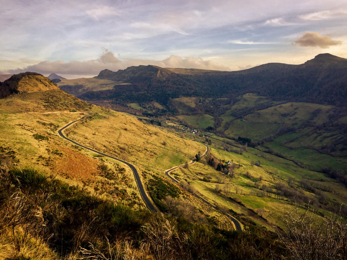
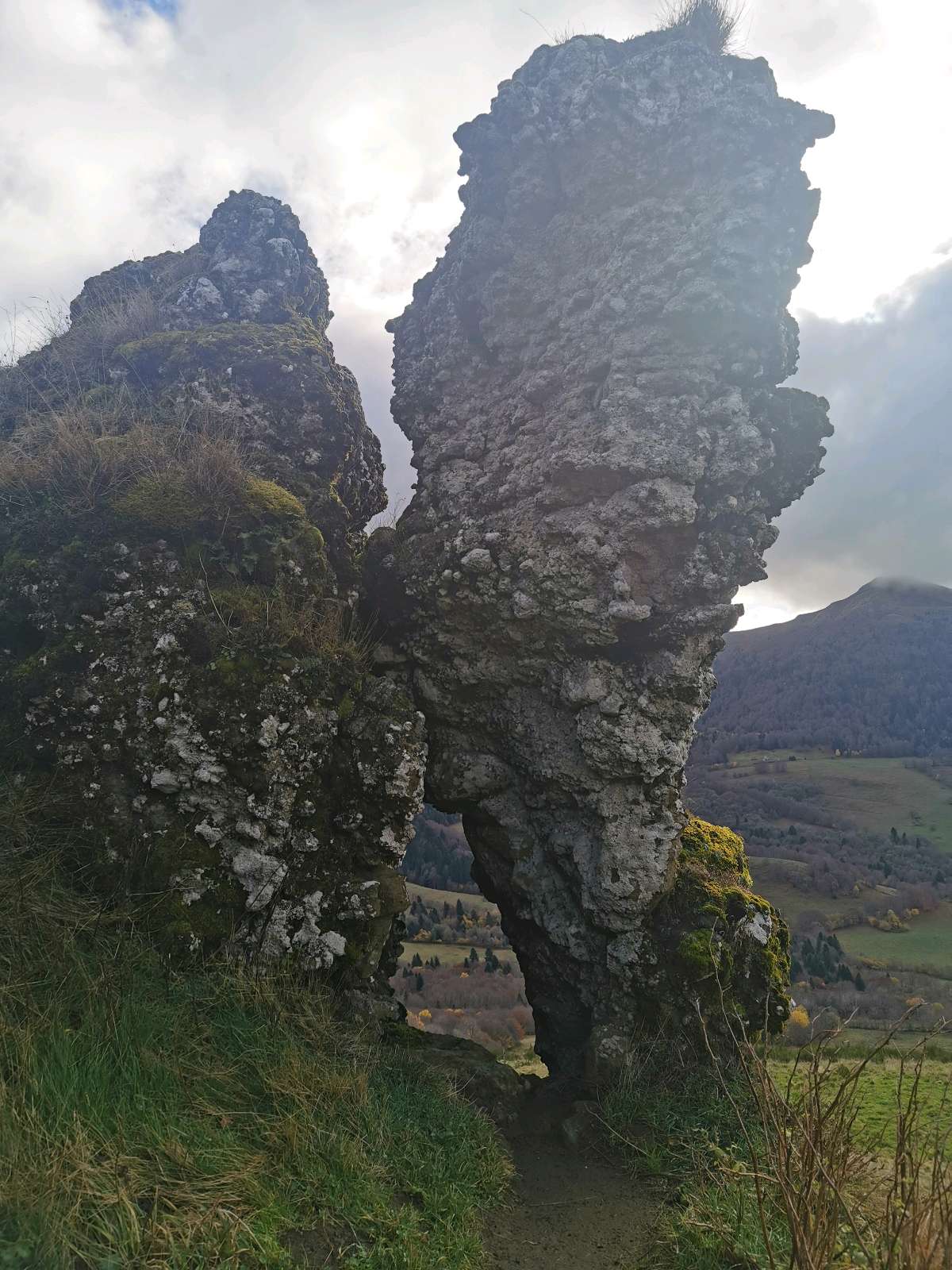
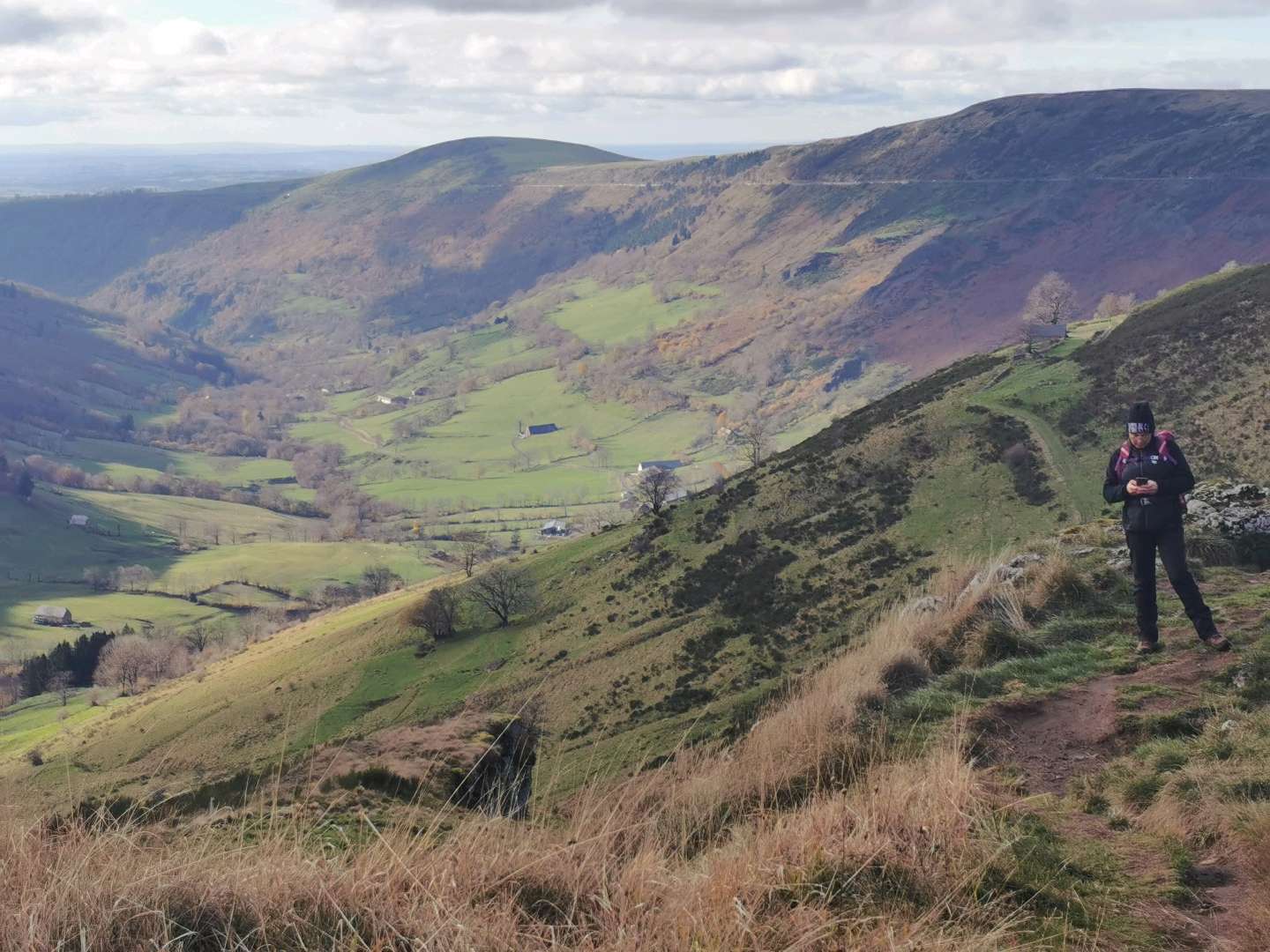
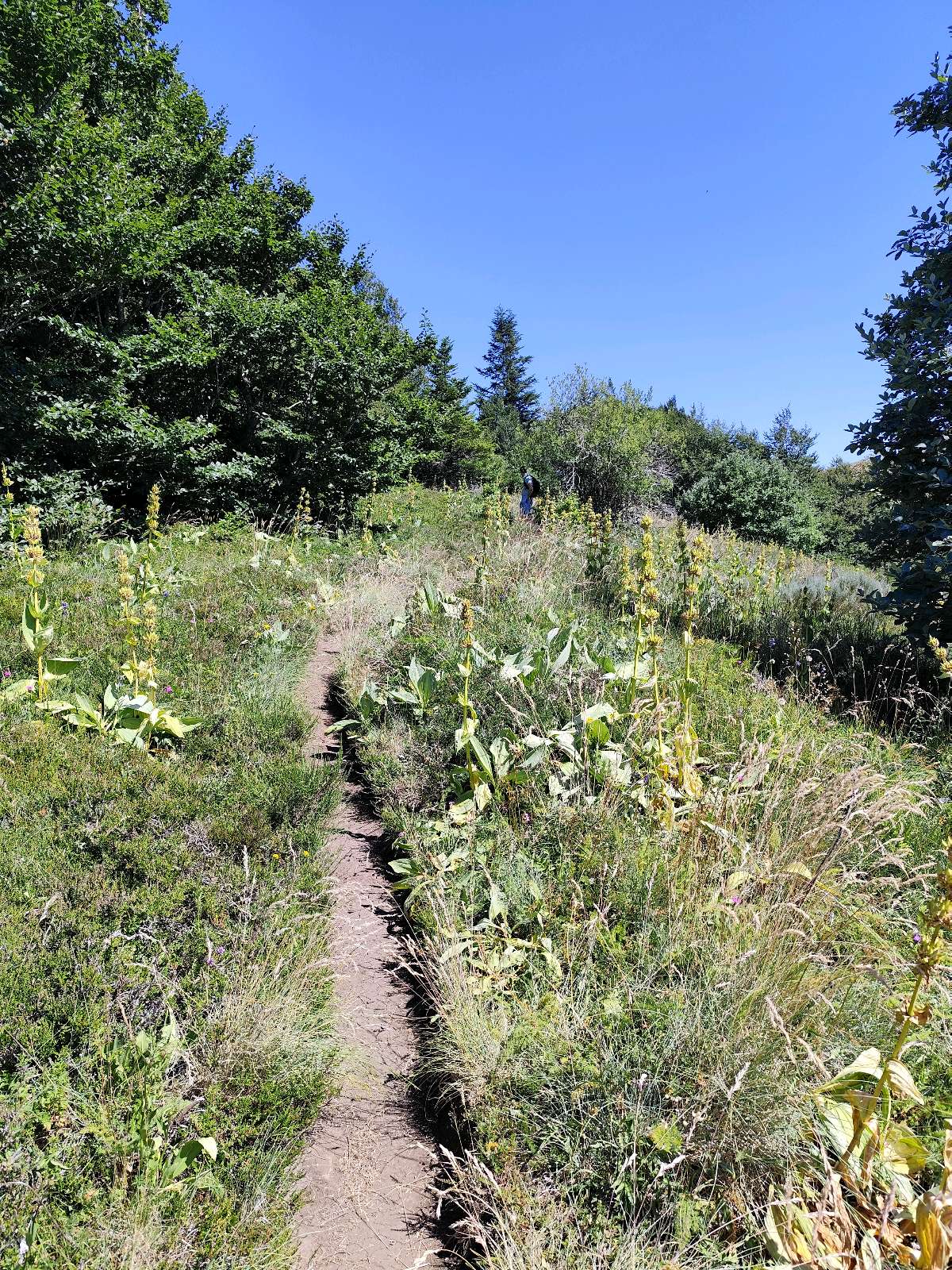
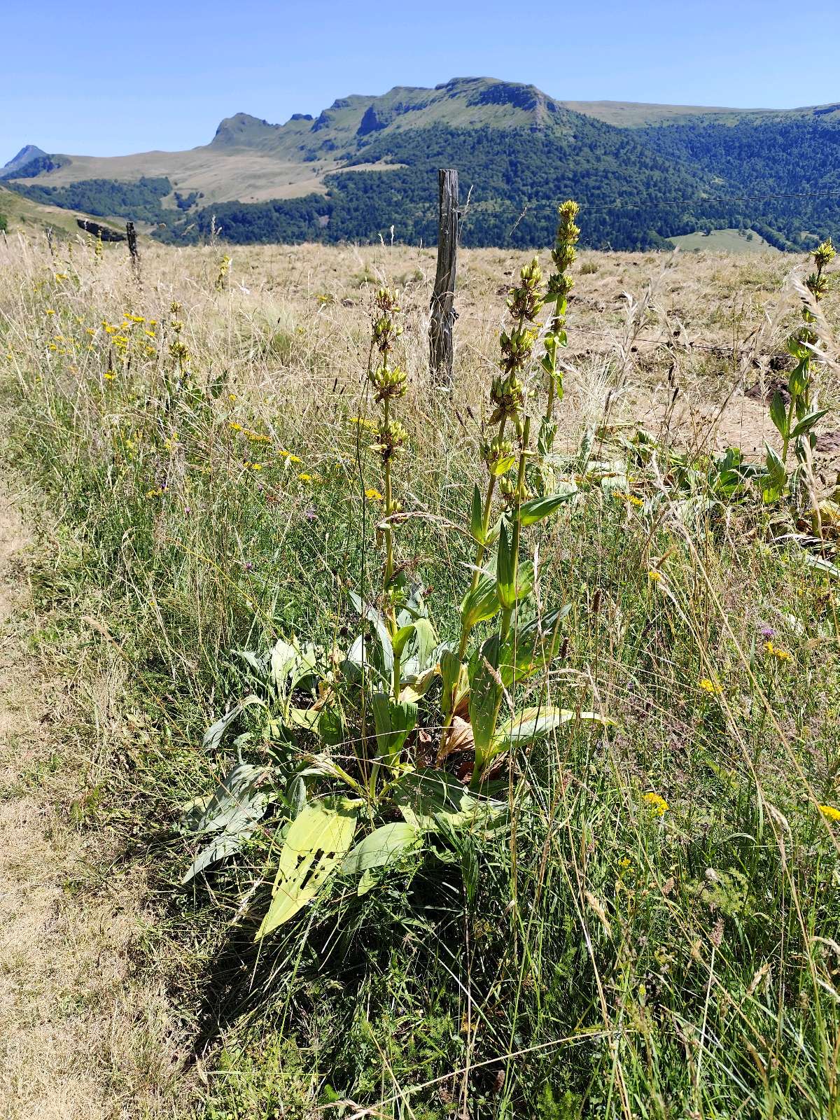
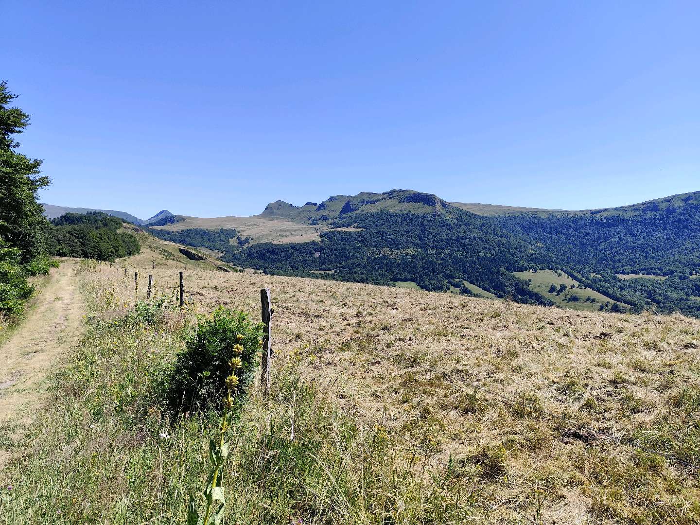
From the Col de Neronne, walk along the ridges towards the Impranau wood.
The characteristics of the route.
Saint-Paul-de-Salers (15)
- Distance 6.8 km
- Elevation gain 200 m
- Elevation lost 200 m
- Min. elevation 1209 m
- Max. elevation. 1364 m
- Duration (depending on pace) 3 heures
From the Col de Neronne, walk along the ridges towards the Impranau wood.
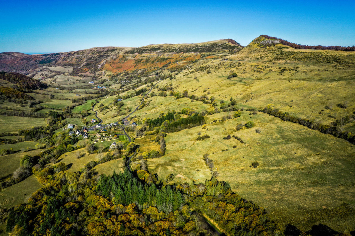
Area : Vallée de la Maronne
Report a problem
The latest reviews & times
Che-bab
finished in 02:15:00
The 2025/11/09
En savoir plus
mcriver
The 2025/07/12
En savoir plus
mcriver
The 2025/07/12
En savoir plus
See all reviews & times
Services nearby

Area for campervans in Col de Néronne
Saint-Paul-de-Salers

Auberge du Col de Néronne
Saint-Paul-de-Salers

Municipal gîte "Marmotte"
Saint-Paul-de-Salers
Municipal gite in Saint-Paul-de-Salers
Saint-Paul-de-Salers
La maison d'Olivier...et de Louna
Saint-Paul-de-Salers


Follow us on
the digital trails
the digital trails


![]()
 Puy Mary Espace Trail - Parcours - Le Sentier d'Emilie
Hello, world! This is a toast message.
Puy Mary Espace Trail - Parcours - Le Sentier d'Emilie
Hello, world! This is a toast message.
Puy Mary Espace Trail - Parcours - Le Sentier d'Emilie
Hello, world! This is a toast message.


OK
Annuler