Route 28 - Le Caylat
Add to my favorites

Route opened

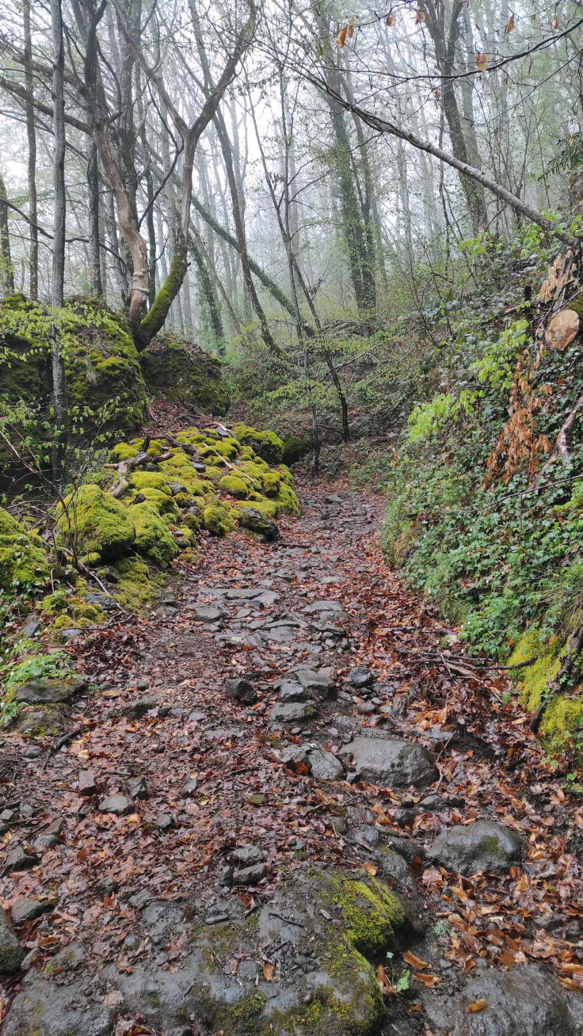
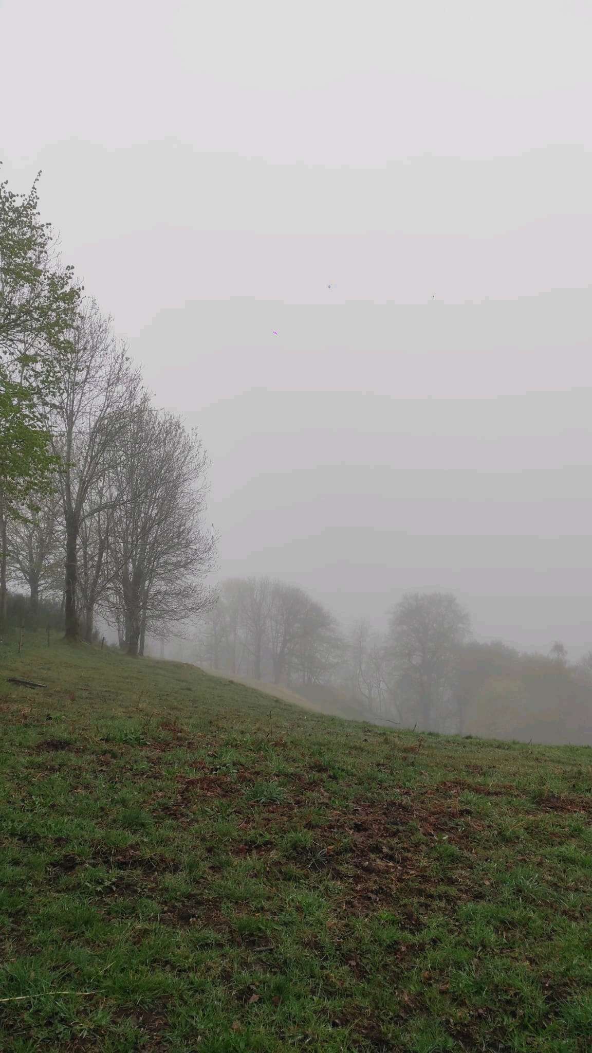
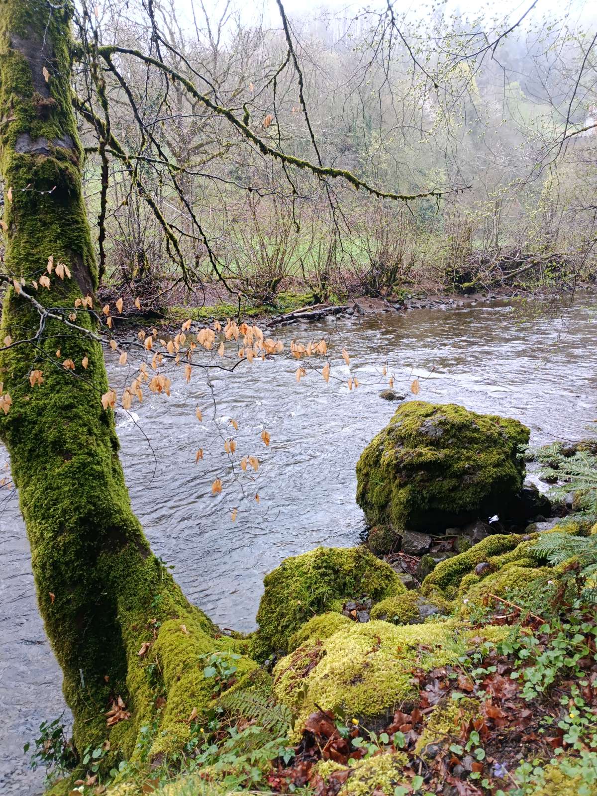
This itinerary will take you to the heights of Caylat. You will discover a route with very varied terrain, regular slopes, allowing for a long running in addition to sessions on training at the Lac des Graves.
The characteristics of the route.

Lascelle (15)
- Distance 13.65 km
- Elevation gain 470 m
- Elevation lost 470 m
- Min. elevation 706 m
- Max. elevation. 1095 m
- Duration (depending on pace) 1h30 à 3h
- Suivre le balisage 28 blue

The latest reviews & times
Lamurole15
finished in 02:00:00
The 2026/04/12
En savoir plus
Babar83
finished in 01:46:45
The 2023/09/09
En savoir plus
Lili34
The 2023/06/27
En savoir plus
Lili34
The 2023/06/27
En savoir plus
Justin_Marche
finished in 01:00:00
The 2020/08/09
En savoir plus
See all reviews & times
2023/06/27 Lili34
Arrivée bain dans le lac et spritz au bar du lac, le top!
2023/06/27 Lili34
Merci pour ce beau parcours bucolique. Cela change vraiment des autres tracés sur les volcans. Très beau. Le balisage est plutôt présent. Dans le doute suivre le balisage vert. Petit bémol le dernier km sur la route pour rejoindre le point de départ.
2020/08/09 01:00:00
Justin Marche
Justin Marche
3/4 du parcours magnifique mais 1/4 sur goudron pour contourner l’UCPA
2023/06/27 Lili34
Arrivée bain dans le lac et spritz au bar du lac, le top!
2023/06/27 Lili34
Merci pour ce beau parcours bucolique. Cela change vraiment des autres tracés sur les volcans. Très beau. Le balisage est plutôt présent. Dans le doute suivre le balisage vert. Petit bémol le dernier km sur la route pour rejoindre le point de départ.
2020/08/09 01:00:00
Justin Marche
Justin Marche
3/4 du parcours magnifique mais 1/4 sur goudron pour contourner l’UCPA
Services nearby

Gypsy wagons
Lascelle
Chalets du Lac des Graves
Lascelle

Monitor fisching guide
Lac des Graves

Le Lac des Graves
Lascelle

“Lou Campirou - Mr Vors
Lascelle


Follow us on
the digital trails
the digital trails


![]()
 Puy Mary Espace Trail - Parcours - Route 28 - Le Caylat
Hello, world! This is a toast message.
Puy Mary Espace Trail - Parcours - Route 28 - Le Caylat
Hello, world! This is a toast message.
Puy Mary Espace Trail - Parcours - Route 28 - Le Caylat
Hello, world! This is a toast message.


OK
Annuler