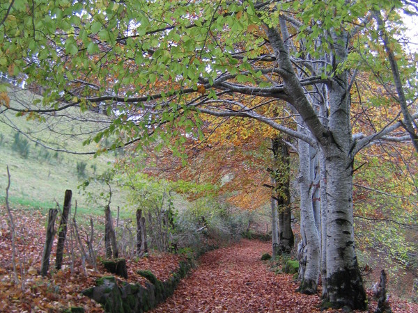
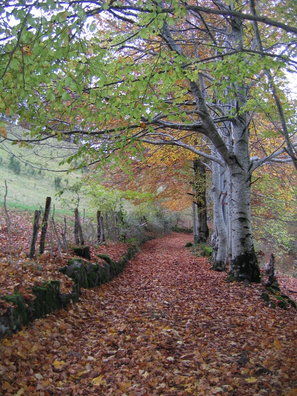
Le Chaumeil
Add to my favorites

Route opened
The characteristics of the route.
Saint-Cirgues-de-Jordanne (15)
- Distance 8 km
- Elevation gain 390 m
- Elevation lost 380 m
- Min. elevation 748 m
- Max. elevation. 997 m
- Duration (depending on pace) 3h
- Marking PR yellow
Javanais
The 2024/07/05
En savoir plus
Ajouter votre chrono et partager vos sensations
2024/07/05 Javanais
Très joli. Mais attention chemin extrêmement boueux entre 4 et 6, après cette longue période boueuse.
2024/07/05 Javanais
Très joli. Mais attention chemin extrêmement boueux entre 4 et 6, après cette longue période boueuse.
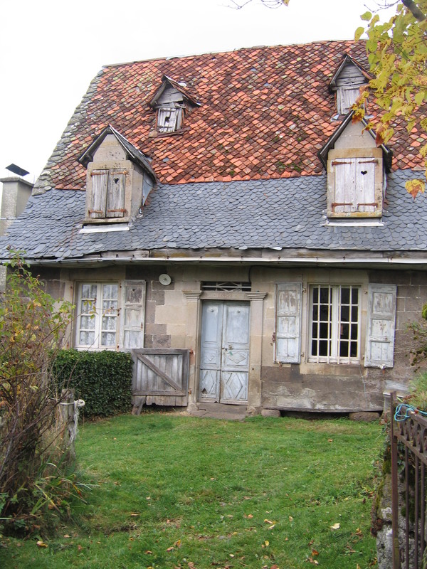
Services nearby

Gîte du Puy Mary - Liaumier - Mrs Cadoret
Saint-Cirgues-de-Jordanne

Les Tilleuls
Saint-Cirgues-de-Jordanne

La Maison Normande
Saint-Cirgues-de-Jordanne

Camping des Milans
Saint-Cirgues-de-Jordanne

Refuge de Brézellec
Saint-Cirgues-de-Jordanne


Follow us on
the digital trails
the digital trails


![]()
 Puy Mary Espace Trail - Parcours - Le Chaumeil
Hello, world! This is a toast message.
Puy Mary Espace Trail - Parcours - Le Chaumeil
Hello, world! This is a toast message.
Puy Mary Espace Trail - Parcours - Le Chaumeil
Hello, world! This is a toast message.


OK
Annuler