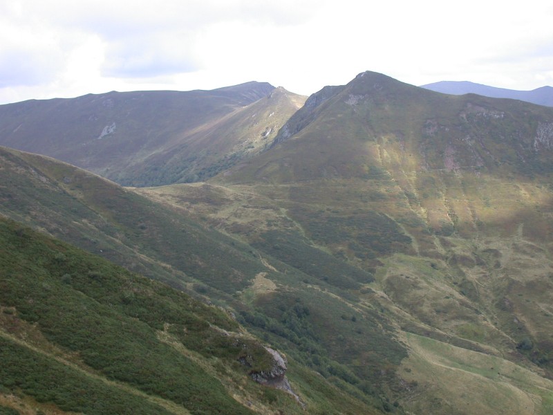
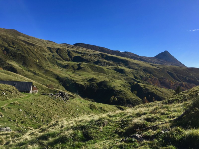
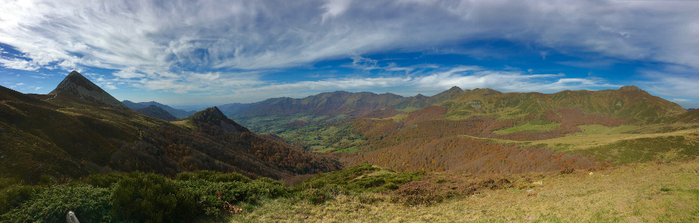
Le Col de Cabre
Add to my favorites

Route closed
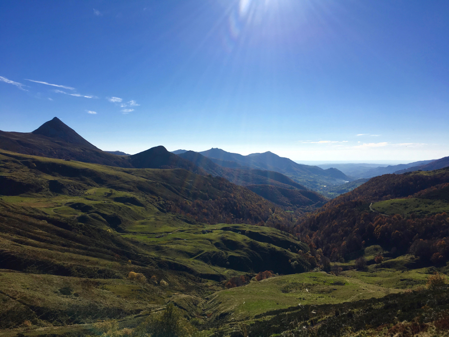
The characteristics of the route.
Mandailles-Saint-Julien (15)
- Distance 17.2 km
- Elevation gain 740 m
- Elevation lost 740 m
- Min. elevation 922 m
- Max. elevation. 1562 m
- Duration (depending on pace) 6h30
- Marking PR green
Add your time and share your feelings
Services nearby

Maison de Site of Mandailles-Saint-Julien
Mandailles-Saint-Julien

Camper-vans service areas and Campsites
Mandailles-Saint-Julien
Gîte d'étape et de séjour Vert Azur
Mandailles-Saint-Julien
Guest house “THE FOUR SEASONS”
Mandailles-Saint-Julien
L'Enclos du Puy Mary
Mandailles-Saint-Julien


Follow us on
the digital trails
the digital trails


![]()


OK
Annuler