Le Puy de Peyre Arse
Add to my favorites

Route closed
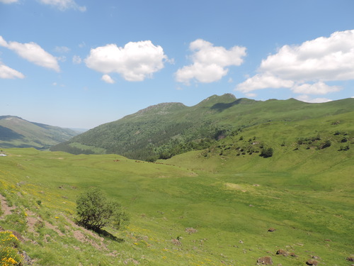
The characteristics of the route.
Le Claux (15)
- Distance 9 km
- Elevation gain 580 m
- Elevation lost 580 m
- Min. elevation 1469 m
- Max. elevation. 1798 m
- Duration (depending on pace) 4h
- Marking White and red
Add your time and share your feelings
Services nearby

Maison de Site of Pas de Peyrol
Pas de Peyrol

Eylac
Le Claux

Meublé-M Loubeyre René
Le Claux
Apartment in a detached house - Mr and Mrs Toire
Mandailles-Saint-Julien
Gîte Collectif de Lascourt
Le Claux


Follow us on
the digital trails
the digital trails


![]()


OK
Annuler