2 - Boucle découverte autour de Saint-Pierre en trail
Add to my favorites

Route opened
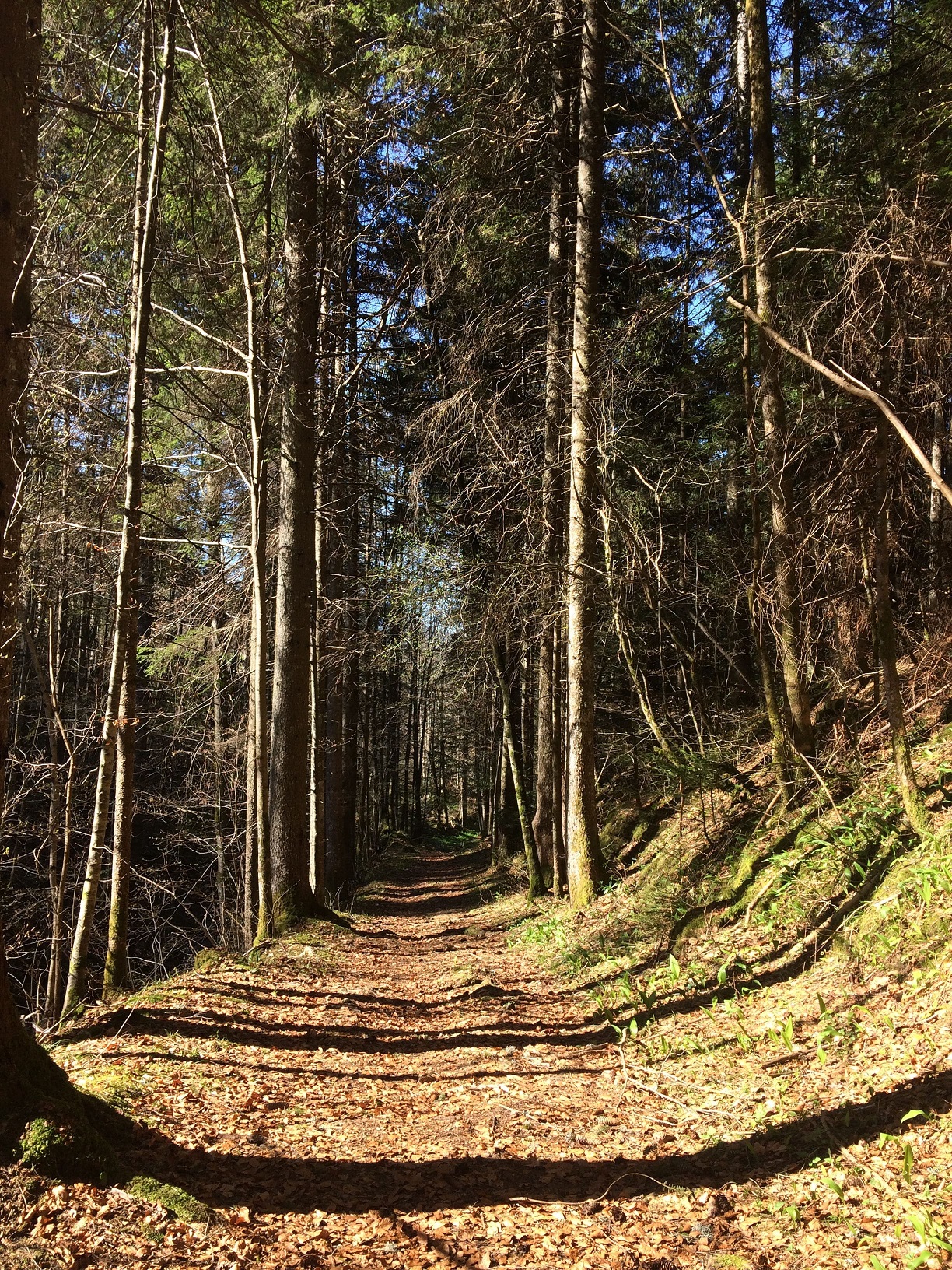
Trail running
The characteristics of the route.
Saint-Pierre-de-Chartreuse (38)
- Distance 7.22 km
- Elevation gain 350 m
- Elevation lost 350 m
- Min. elevation 859 m
- Max. elevation. 1167 m
- Duration (depending on pace) 1h à 3h
- Suivre le balisage

Report a problem
Add your time and share your feelings
Services nearby

Raidlight Outdoor LAB
St-Pierre-de-Chartreuse

Tourist Information center at Saint Pierre de Chartreuse
St-Pierre-de-Chartreuse

Hôtel Victoria
St-Pierre-de-Chartreuse
Gîte de Beauregard
St-Pierre-de-Chartreuse
Museum Arcabas in Chartreuse
Saint Pierre de Chartreuse


Follow us on
the digital trails
the digital trails


Infos & contacts
RAIDLIGHT
115 route de Perquelin
38 380 Saint-Pierre-de-Chartreuse
www.raidlight.com
xp@raidlight.com
 Raidlight Experience Trail - Parcours - 2 - Boucle découverte autour de Saint-Pierre en trail
Hello, world! This is a toast message.
Raidlight Experience Trail - Parcours - 2 - Boucle découverte autour de Saint-Pierre en trail
Hello, world! This is a toast message.
Raidlight Experience Trail - Parcours - 2 - Boucle découverte autour de Saint-Pierre en trail
Hello, world! This is a toast message.


OK
Annuler