
Horse riding
routes filtered
Only my favorites
Delete filters
Around me :
< 5km
< 10km
< 25km
< 50km
Inactive
Difficulties :
Easy
Medium
Difficult
Expert
Durée :
<1h
1-2h
2-3h
3-4h
>4h
Distance (km) :
<10
10-25
25-50
50-75
>75
Distance (km) :
<25
25-50
50-100
100-150
>150
Elevation gain (m) :
<500
500-1000
1000-1500
1500-2500
>2500
Elevation lost (m) :
<500
500-1000
1000-1500
1500-2500
>2500
Tags :
Areas :

Sur la piste des Comtes d'Evreux
22.2km 340m 340m
Notre-Dame-de-Gravenchon
22.2km 340m 340m
Notre-Dame-de-Gravenchon
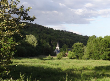
Sur la Route de l’Ouraille
33.1km 760m 760m
Maulévrier-Sainte-Gertrude
33.1km 760m 760m
Maulévrier-Sainte-Gertrude
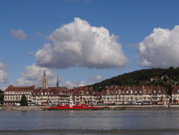
En bord de Seine
37.8km 210m 210m
Arelaune-en-Seine
37.8km 210m 210m
Arelaune-en-Seine
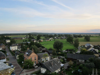
Sur les traces de François 1er
31.5km 300m 300m
Norville
31.5km 300m 300m
Norville
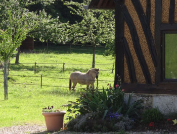
La Presqu’île
28.3km 320m 320m
Vatteville-la-Rue
28.3km 320m 320m
Vatteville-la-Rue
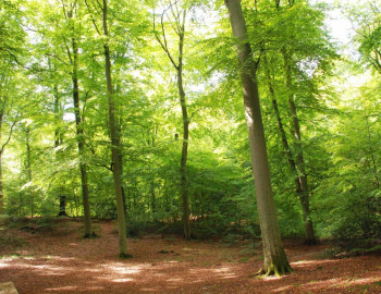
Au coeur d’Arelaune
30km 460m 460m
Vatteville-la-Rue
30km 460m 460m
Vatteville-la-Rue
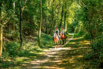
La Chevauchée en Vallée de Seine
55.3km 890m 880m
Jumièges
55.3km 890m 880m
Jumièges
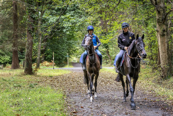
The ride from the Pays d'Auge to the Seine
28.8km 300m 420m
Sainte-Croix-sur-Aizier
28.8km 300m 420m
Sainte-Croix-sur-Aizier
International
France


