La Mailleraye sur Seine
Add to my favorites

Between October and March, before leaving for the forest, remember to consult the hunting calendars on the site www.onf.fr
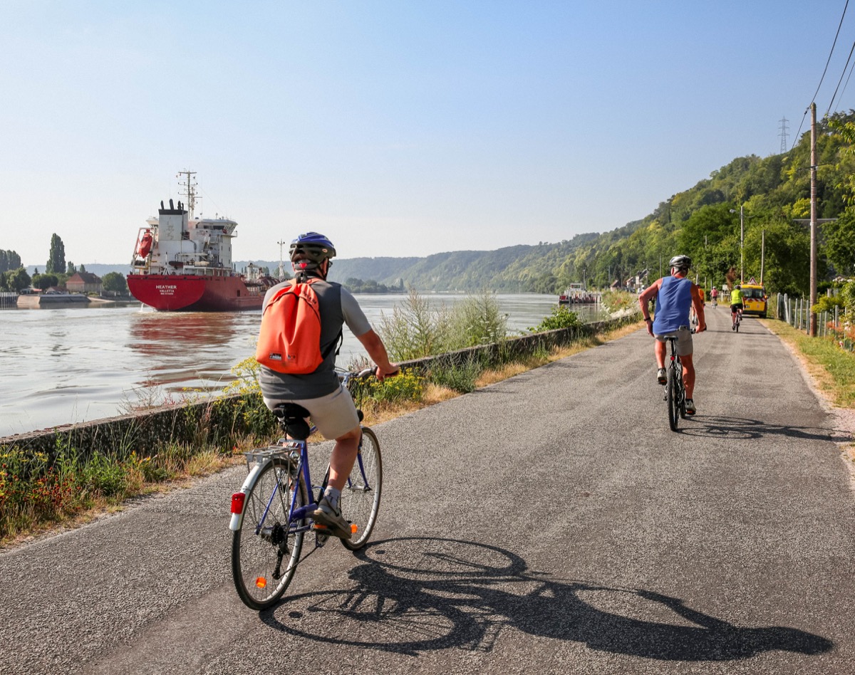
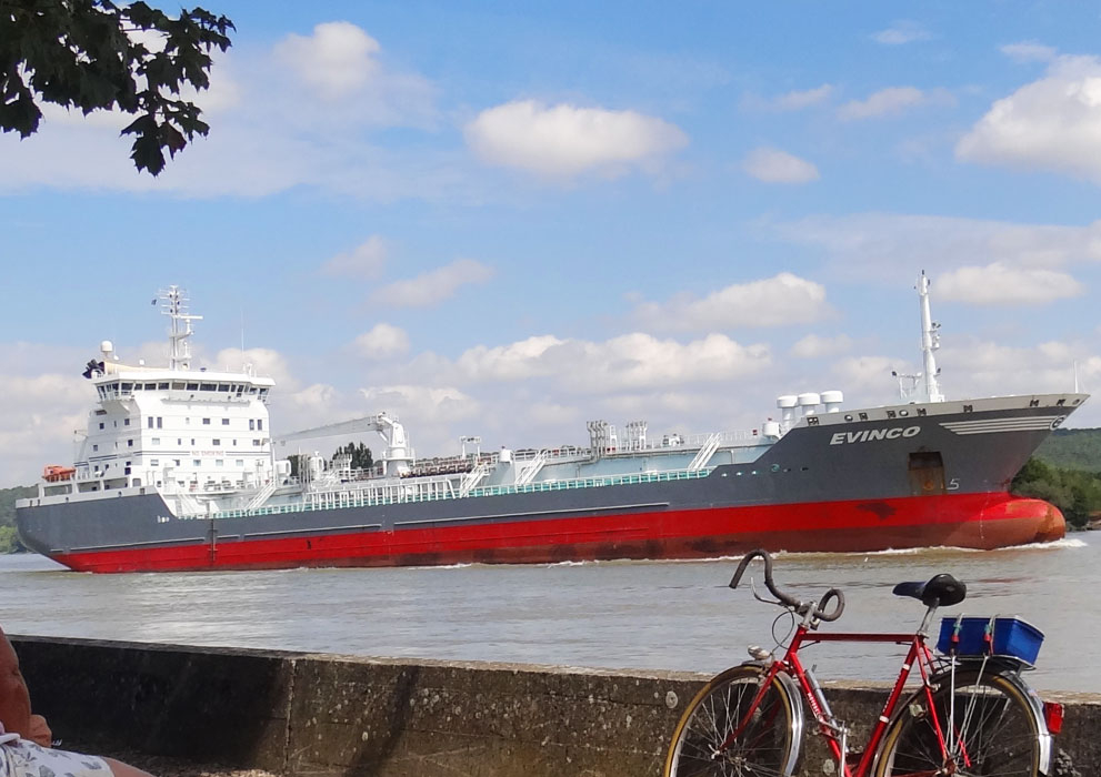
Vous découvrirez un beau condensé des paysages des boucles de la Seine normande : entre forêt, marais, vergers et bord de Seine, le dépaysement est garanti !
The characteristics of the route.

Arelaune-en-Seine (76)
- Distance 23.4 km
- Elevation gain 190 m
- Elevation lost 190 m
- Min. elevation 2 m
- Max. elevation. 79 m
- Duration (depending on pace) 2h15
- Marking Red
Area : Forêt de Brotonne
Report a problem Add a comment
Circuit Cyclo - La Mailleraye-sur-Seine PDF map
Add your time and share your feelings
Services nearby

Restaurant La Presqu'ile
ARELAUNE-EN-SEINE

Aire de stationnement et de service de La Mailleraye sur Seine
ARELAUNE-EN-SEINE
Chez Sophie
ARELAUNE-EN-SEINE
A l'ombre du noyer
ARELAUNE-EN-SEINE
Camping Le Parc
ARELAUNE-EN-SEINE


Follow us on
the digital trails
the digital trails


![]()
Infos & contacts
Caux Seine Normandie Tourist Office
Abbaye du Valasse 76210 Gruchet-le-Valasse
+33(0)2.32.70.46.32
Website
send mail


OK
Annuler