Randonnée Auron Mountain Trail
Add to my favorites

This route will take you through a single track trail till the Bercha cross at 2190 m. Then you will go down through a wonderfull dark forest. Then you will just have to run to reach the resort.
The characteristics of the route.
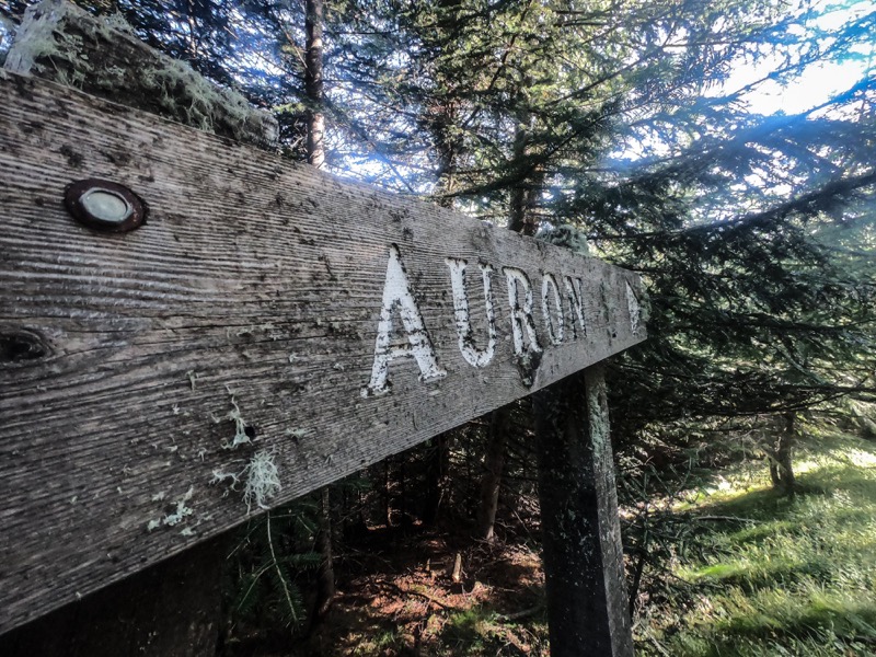
Auron (06)
- Distance 13.2 km
- Elevation gain 770 m
- Elevation lost 770 m
- Min. elevation 1579 m
- Max. elevation. 2268 m
Read before you go!
- Follow the marked trails, don't take shortcuts.
- Before setting out on a trail, check the weather, make sure it's suitable for your level, and leave your route with someone.
- Be careful.
- Be extra careful during hunting season and find out about current drives.
- If you encounter livestock protection dogs, remain calm, avoid sudden movements, and go around the herd.
- Respect private property and cultivated areas, and close gates after you've left.
- Behave in an eco-friendly way: take your waste with you and respect the flora and fauna to preserve nature.
- Always download the route (GPX) corresponding to the route in question.
Area : Auron
Report a problem
mrmare
The 2024/08/24
En savoir plus
Ajouter votre chrono et partager vos sensations
2024/08/24 mrmare
better to choose an other path for the way back. great views from cime de la bercha
2024/08/24 mrmare
better to choose an other path for the way back. great views from cime de la bercha
Services nearby

MONICA Immobilier
Auron

Crédit Agricole
Auron

ALZINA Cécile -Osteopath
Auron

Restaurant Crêperie La Taca d'oli
Auron

Restaurant La Brasserie
Auron


Follow us on
the digital trails
the digital trails


![]()
Info & contacts
Offices de Tourisme du territoire
Auron : +33(0)4 93 23 02 66
St Etienne de Tinée : +33(0)4 93 02 41 96
St Dalmas le Selvage : +33(0)4 93 02 46 40
 Auron Outdoor - Parcours - Randonnée Auron Mountain Trail
Hello, world! This is a toast message.
Auron Outdoor - Parcours - Randonnée Auron Mountain Trail
Hello, world! This is a toast message.
Auron Outdoor - Parcours - Randonnée Auron Mountain Trail
Hello, world! This is a toast message.


OK
Annuler