Route 16 blue - Demi KV de la Pinatelle
Add to my favorites

Route opened
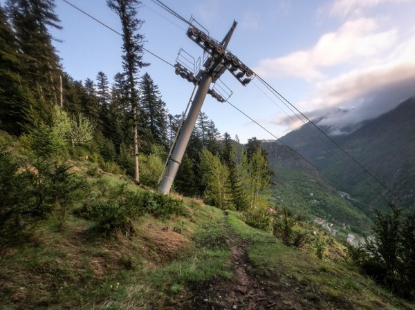
This itinerary of steep climb will take you to the restaurant called le Grizzly, on the top of the Pinatelle lift. You will take the same route for the return or, during summer, with the lift for free. The best for fragile joints !
Note : trail-running Markers are positioned every 100m of elevation to help you dealing with your effort
The characteristics of the route.

Saint-Étienne-de-Tinée (06)
- Distance 3 km
- Elevation gain 620 m
- Elevation lost 10 m
- Min. elevation 1140 m
- Max. elevation. 1752 m
- Duration (depending on pace) 0h30 à 1h30
Read before you go!
- Suivez les sentiers balisés, ne prenez pas de raccourcis
- Avant de vous engager sur un parcours, vérifiez la météo, vérifiez qu’il est adapté à votre niveau et laissez votre itinéraire à quelqu’un.
- Soyez prudents.
- Redoublez d’attention en période de chasse et renseignez-vous sur les battues en cours.
- Si vous rencontrez des chiens de protection de troupeaux, restez calme, évitez les gestes brusques et contournez le troupeau.
- Respectez les propriétés privées, les zones de cultures et fermez les barrières après votre passage.
- Ayez un comportement éco-citoyen : remportez vos déchets et respectez la faune et la flore pour une nature préservée.
- Veillez à toujours télécharger l'itinéraire ( GPX ) correspondant à l’itinéraire concerné.
Area : St Etienne de Tinée
Report a problem Add a comment
Pdf map
Add your time and share your feelings


Follow us on
the digital trails
the digital trails


![]()
Info & contacts
Offices de Tourisme du territoire
Auron : +33(0)4 93 23 02 66
St Etienne de Tinée : +33(0)4 93 02 41 96
St Dalmas le Selvage : +33(0)4 93 02 46 40


OK
Annuler