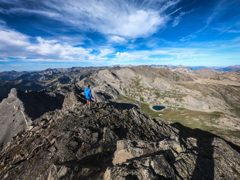
Tête de l’Enchastraye
Add to my favorites

Route closed
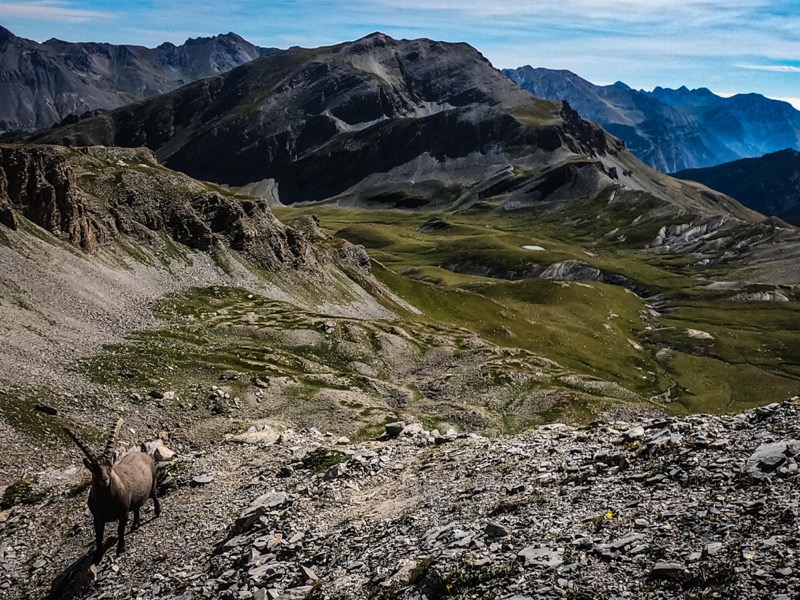
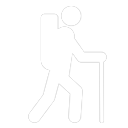
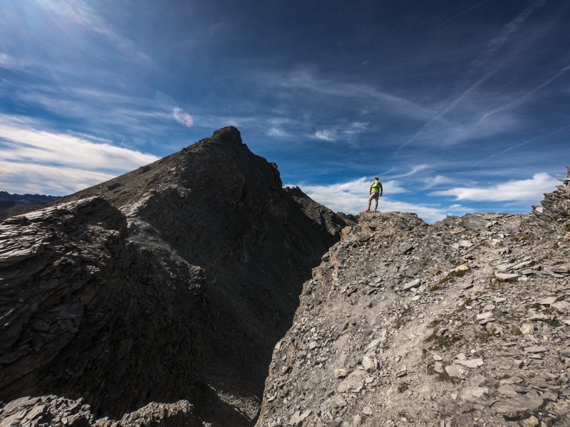
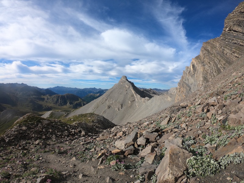
Starting from the Camp des Fourches, you will go to the Fourches pass (2261m) to take the GR5 to go down the magnificent Salso Moreno valley. A single track will then lead you to the Pouriac pass (2506m). A last ascent between scree and sinuous path will allow you to reach the Tête de l'Enchastraye.
The characteristics of the route.
Saint-Dalmas-le-Selvage (06)
- Distance 15.6 km
- Elevation gain 1050 m
- Elevation lost 1050 m
- Min. elevation 2076 m
- Max. elevation. 2906 m
- Duration (depending on pace) 7h30
Read before you go!
Course evolving in the Mercantour National Park. Comply with the regulations in force.
Dogs forbidden.
- Suivez les sentiers balisés, ne prenez pas de raccourcis
- Avant de vous engager sur un parcours, vérifiez la météo, vérifiez qu’il est adapté à votre niveau et laissez votre itinéraire à quelqu’un.
- Soyez prudents.
- Redoublez d’attention en période de chasse et renseignez-vous sur les battues en cours.
- Si vous rencontrez des chiens de protection de troupeaux, restez calme, évitez les gestes brusques et contournez le troupeau.
- Respectez les propriétés privées, les zones de cultures et fermez les barrières après votre passage.
- Ayez un comportement éco-citoyen : remportez vos déchets et respectez la faune et la flore pour une nature préservée.
- Veillez à toujours télécharger l'itinéraire ( GPX ) correspondant à l’itinéraire concerné.
Area : St Dalmas le Selvage
Report a problem Add a comment
Add your time and share your feelings


Follow us on
the digital trails
the digital trails


![]()
Info & contacts
Offices de Tourisme du territoire
Auron : +33(0)4 93 23 02 66
St Etienne de Tinée : +33(0)4 93 02 41 96
St Dalmas le Selvage : +33(0)4 93 02 46 40


OK
Annuler