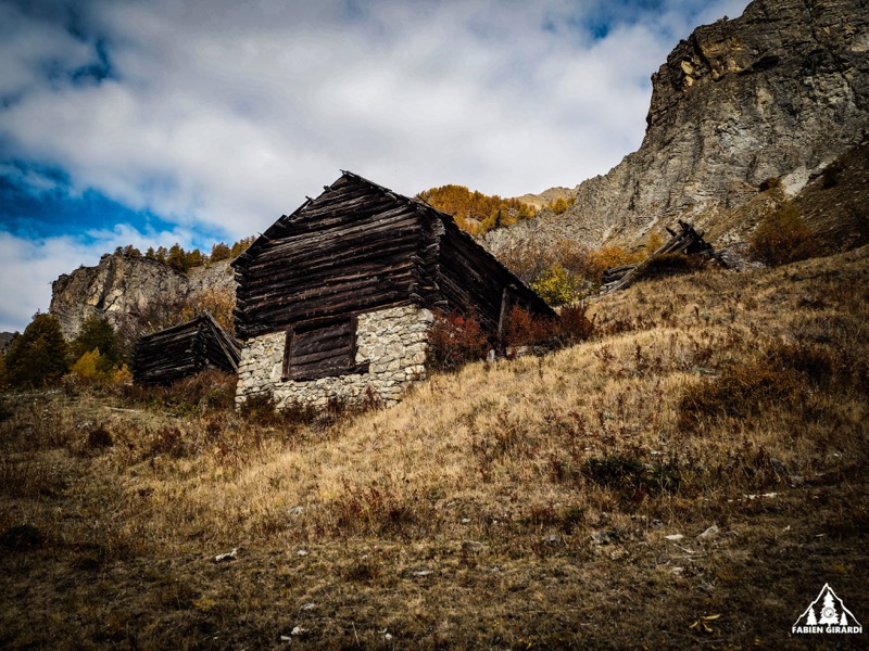
Refuge de Sestrière
Add to my favorites

Route opened
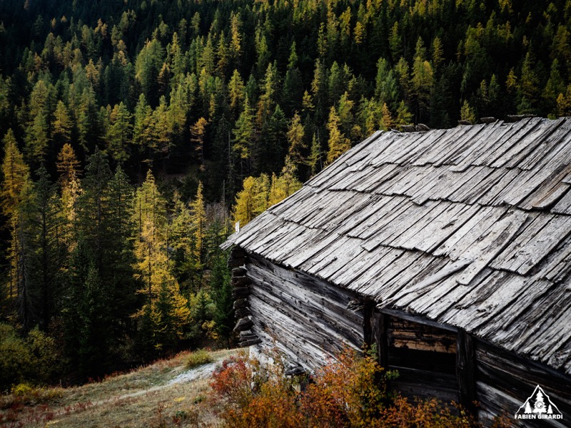
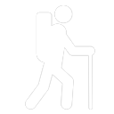
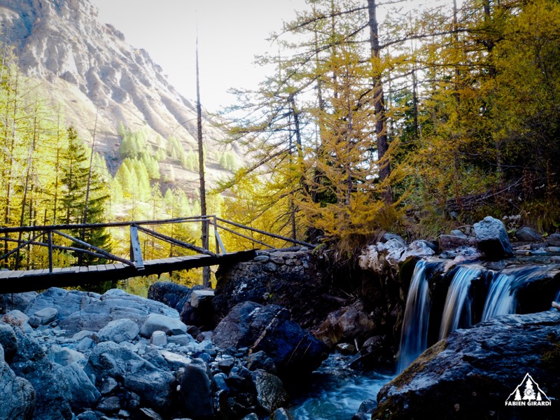
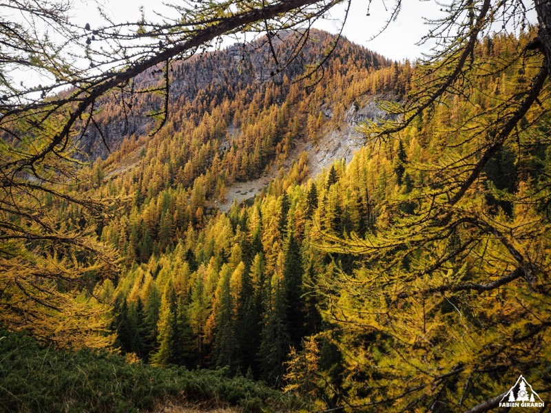
Starting in the village of Saint Dalmas le Selvage, you will first follow the Sestrière stream left side till the Sestrière refuge before coming back right side with nice wooded tracks.
The characteristics of the route.
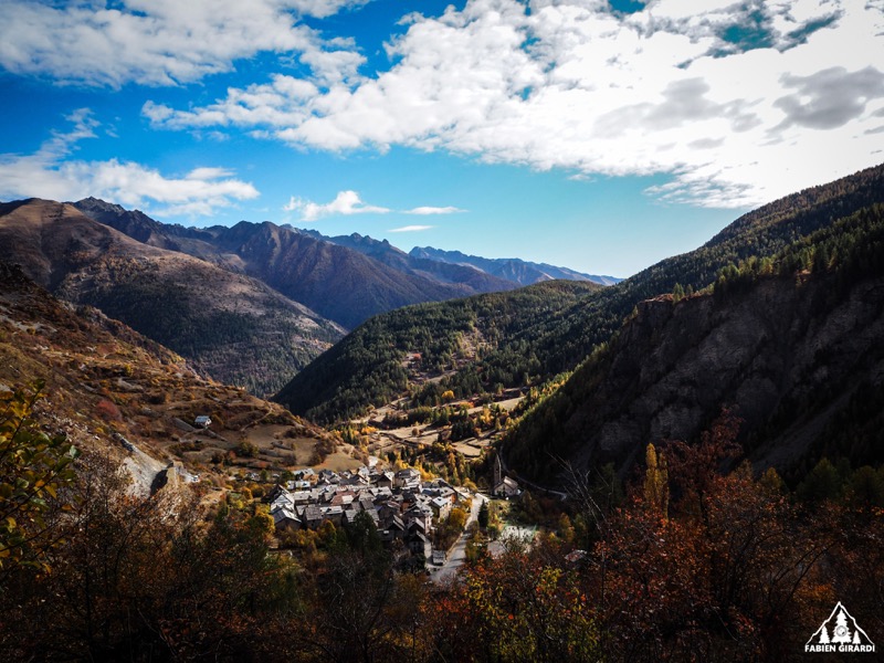
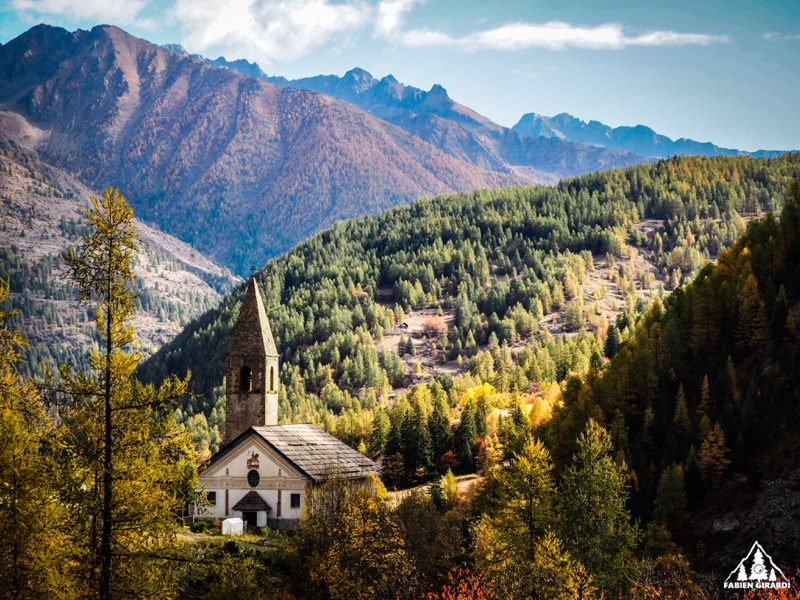
Saint-Dalmas-le-Selvage (06)
- Distance 9.3 km
- Elevation gain 610 m
- Elevation lost 610 m
- Min. elevation 1495 m
- Max. elevation. 2001 m
Read before you go!
- Suivez les sentiers balisés, ne prenez pas de raccourcis
- Avant de vous engager sur un parcours, vérifiez la météo, vérifiez qu’il est adapté à votre niveau et laissez votre itinéraire à quelqu’un.
- Soyez prudents.
- Redoublez d’attention en période de chasse et renseignez-vous sur les battues en cours.
- Si vous rencontrez des chiens de protection de troupeaux, restez calme, évitez les gestes brusques et contournez le troupeau.
- Respectez les propriétés privées, les zones de cultures et fermez les barrières après votre passage.
- Ayez un comportement éco-citoyen : remportez vos déchets et respectez la faune et la flore pour une nature préservée.
- Veillez à toujours télécharger l'itinéraire ( GPX ) correspondant à l’itinéraire concerné.
Area : St Dalmas le Selvage
Report a problem 1 comment
Add your time and share your feelings


Follow us on
the digital trails
the digital trails


![]()
Info & contacts
Offices de Tourisme du territoire
Auron : +33(0)4 93 23 02 66
St Etienne de Tinée : +33(0)4 93 02 41 96
St Dalmas le Selvage : +33(0)4 93 02 46 40


OK
Annuler