Tour des cols
Add to my favorites

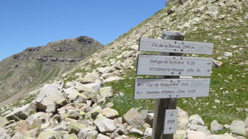
From the Sestrière plateau, follow the Braisse valley to the Braissa pass (2599m). A final ascent will take you to the Cime de la Plate pass (2728m) before gradually descending towards the Moutière pass (2438m). At the pass, return to the village by alternating roads and paths.
The characteristics of the route.

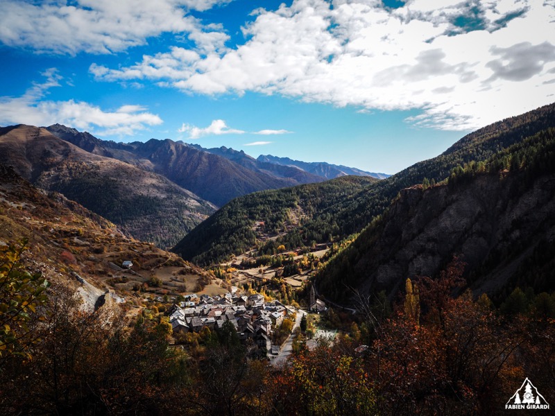
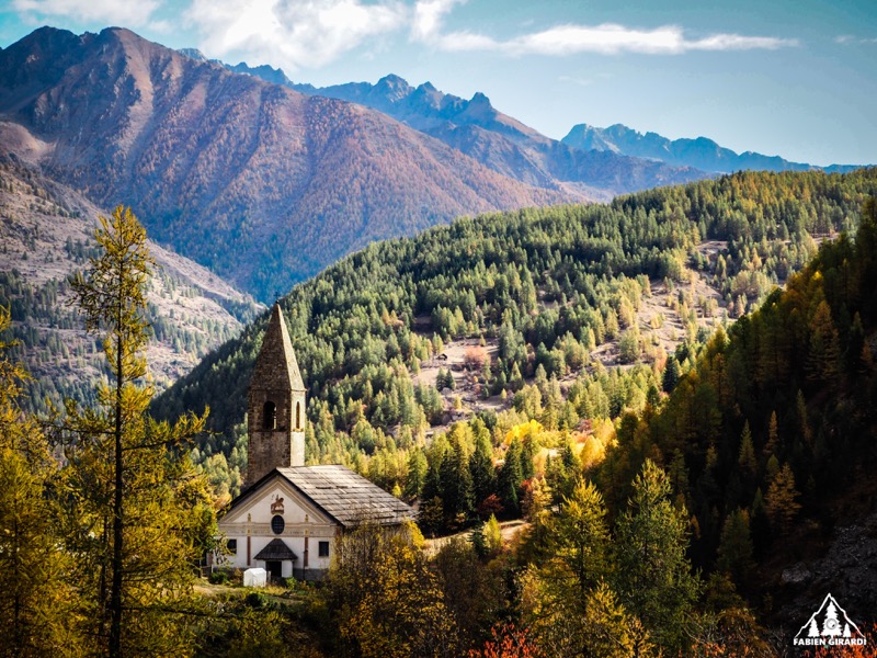
Saint-Dalmas-le-Selvage (06)
- Distance 16.84 km
- Elevation gain 940 m
- Elevation lost 940 m
- Min. elevation 1971 m
- Max. elevation. 2723 m
Read before you go!
- Follow the marked trails and don't take shortcuts.
- Before setting off on a route, check the weather, make sure it is suitable for your level and leave your route to someone.
- Be careful.
- Pay extra attention during hunting season and find out about current hunts.
- If you encounter livestock protection dogs, remain clm, avoid sudden movements and go around the herd.
- Respect private properties, cultivated areas and close the barriers afetr your visit.
- Behave in an ecofriendly way : take your waste away with you and repect flora and fauna to preserve the nature.
- Always make sure to download the route (GPX) corresponding to the route in question.
Area : St Dalmas le Selvage
Report a problem
Add your time and share your feelings
Services nearby

Le Plateau de Sestrière
Saint-Dalmas-le-Selvage

Cabane de Pra Gazé - 12 pers
Saint-Dalmas-le-Selvage

Cabane de Pra Gazé - 12 pers
Saint-Dalmas-le-Selvage
Col de la Bonette
Saint-Dalmas-le-Selvage
Adret de pra Gazé
Saint-Dalmas-le-Selvage


Follow us on
the digital trails
the digital trails


![]()
Info & contacts
Offices de Tourisme du territoire
Auron : +33(0)4 93 23 02 66
St Etienne de Tinée : +33(0)4 93 02 41 96
St Dalmas le Selvage : +33(0)4 93 02 46 40
 Auron Outdoor - Parcours - Tour des cols
Hello, world! This is a toast message.
Auron Outdoor - Parcours - Tour des cols
Hello, world! This is a toast message.
Auron Outdoor - Parcours - Tour des cols
Hello, world! This is a toast message.


OK
Annuler