
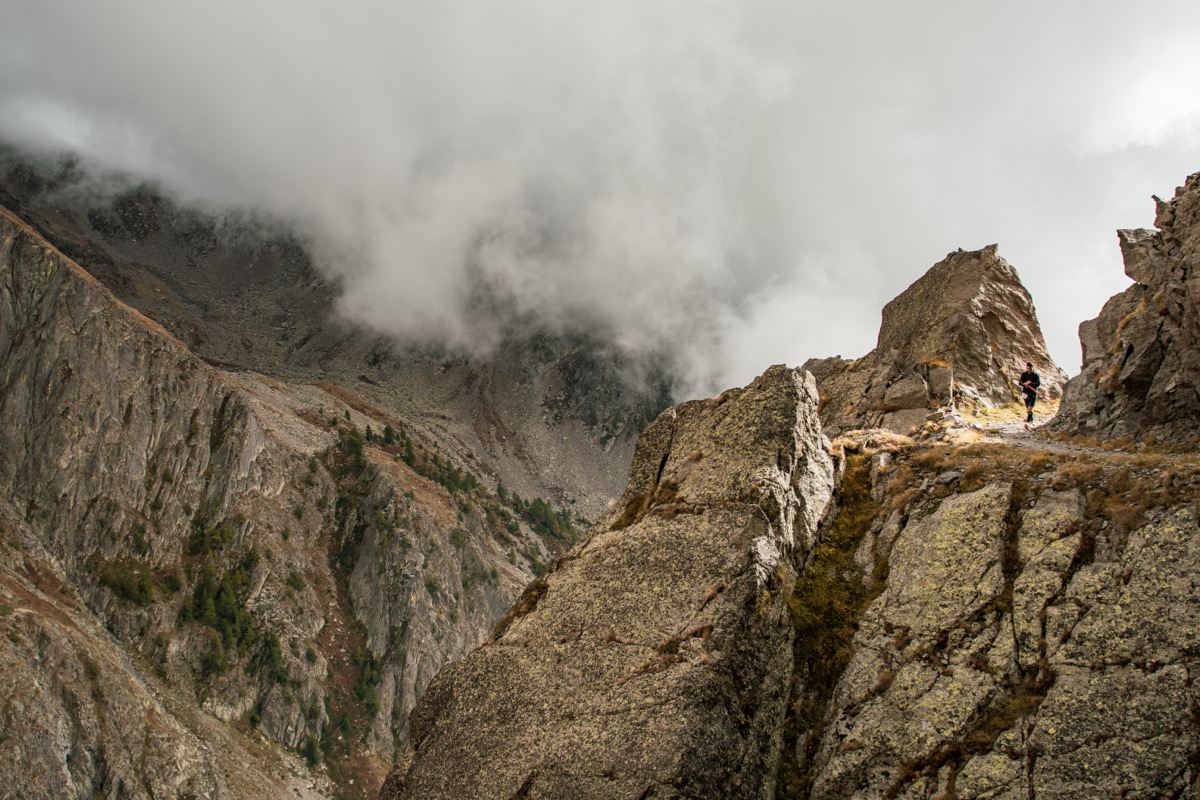
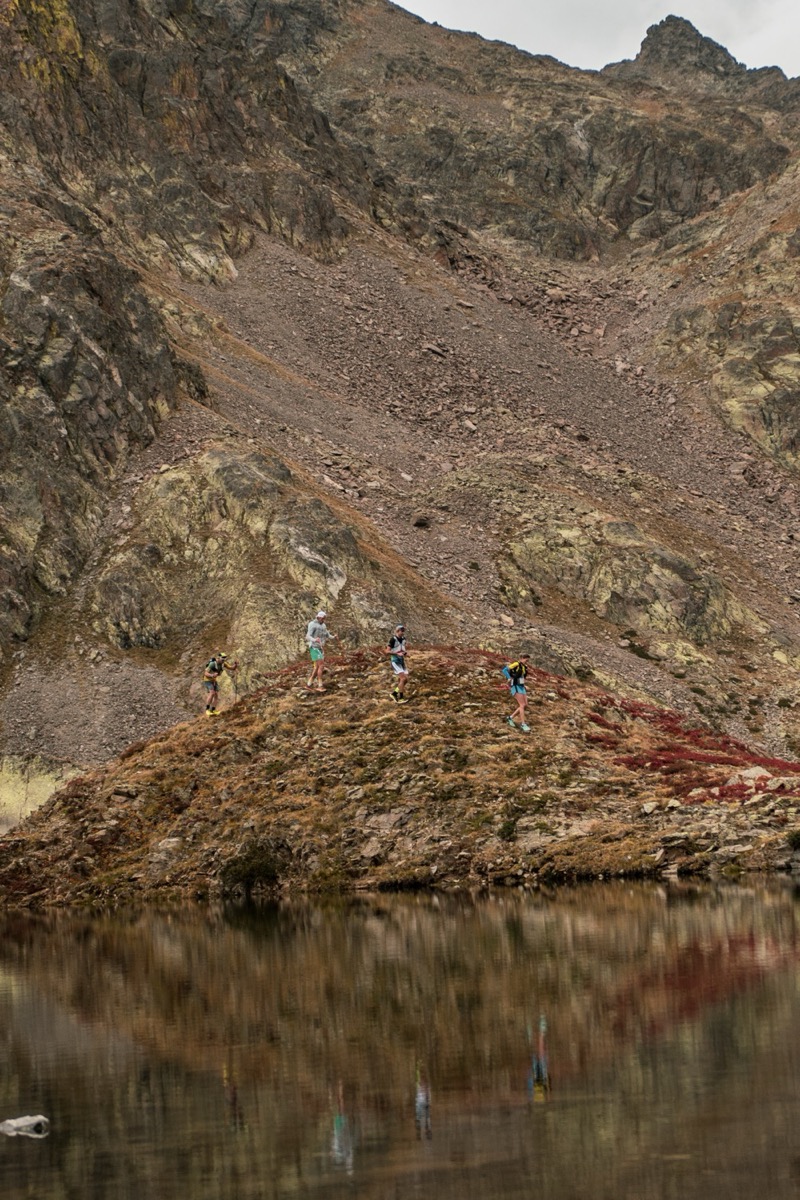
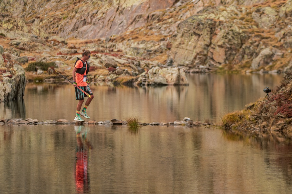
From Auron, take a trail uphill towards Las Donnas. Below Las Donnas, cross a technical session equipped with a lifeline (not recommanded in rainy conditions due to the risk of slipping. Continue along the balconies de la Berchia, a panoramic trail overlooking the Tinée valley. Then descend towards Saint Etienne de tinée via a forest section in the Bois de la Pinatelle. From Saint Etienne de Tinée, begin a long, sustained climb to rich the Chemin de l'énergie. Follow the historic trail to the Rabuons refuge area (there's a break and water available). Then continue towards The Pointe de Jassine. Begin the final descent via a steep scree slope, then cross mountain pastures and the forest. Return to Auron via the smooth trail.

- Distance 44.63 km
- Elevation gain 3340 m
- Elevation lost 3360 m
- Min. elevation 1049 m
- Max. elevation. 2714 m
Points of attention :
Technical section below las Donnas to be approached with caution, especially in wet weather. Descent towards Saint Etienne de Tinée through the Pinatelle woods can be slippery in wet weather. Long physically demanding climb towards the Chemin de l'énergie, which must be managed carefully. The final descent begins with a technical scree slope.
Recommanded equipment :
Trail shoes suitable for varied and technical terrain. Clothing suitable for mountain weather conditions. Sufficient water and food supplies.


the digital trails


![]()
Info & contacts
Offices de Tourisme du territoire
Auron : +33(0)4 93 23 02 66
St Etienne de Tinée : +33(0)4 93 02 41 96
St Dalmas le Selvage : +33(0)4 93 02 46 40
 Auron Outdoor - Parcours - Trail de l’Énergie – 42 km
Auron Outdoor - Parcours - Trail de l’Énergie – 42 km
Auron Outdoor - Parcours - Trail de l’Énergie – 42 km
Auron Outdoor - Parcours - Trail de l’Énergie – 42 km
Auron Outdoor - Parcours - Trail de l’Énergie – 42 km

