3-Pass Loop - Stage 2 - Refuge des Aiguilles d'Arves / Chalet du Perron
Add to my favorites

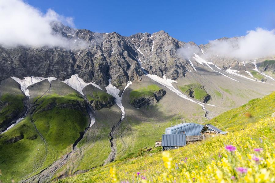
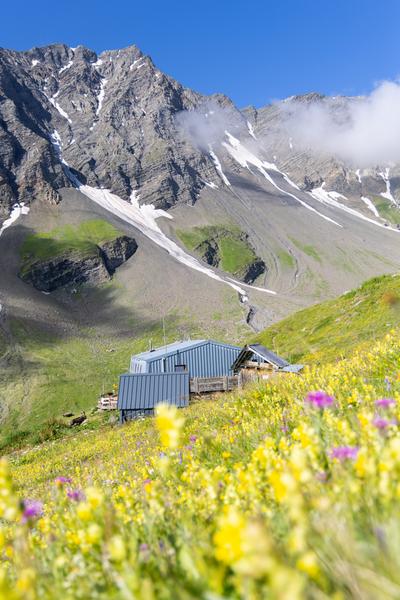
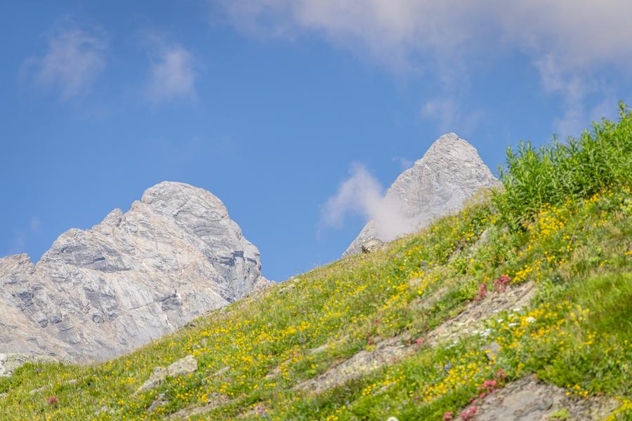
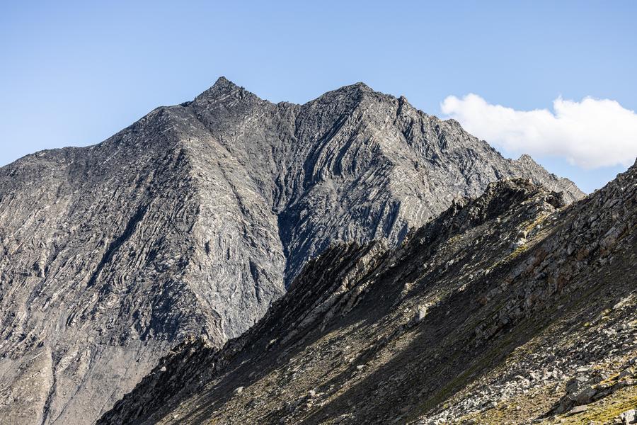
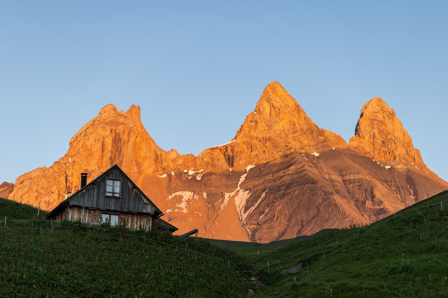
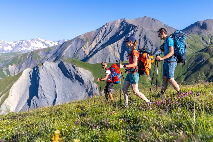
Step 2: From the Aiguilles d’Arves mountain hut, head to the Chalet du Perron via the spectacular Col de l’Épaisseur. The route alternates between trails, scree, and ridges, offering superb views of the Aiguilles d’Arves and the mountain pastures.
The characteristics of the route.

Valloire (73)
- Distance 11.48 km
- Elevation gain 880 m
- Elevation lost 980 m
- Min. elevation 2144 m
- Max. elevation. 2906 m
- Duration (depending on pace) 3h45
- Marking Yes
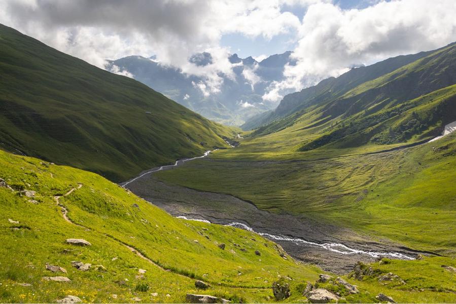
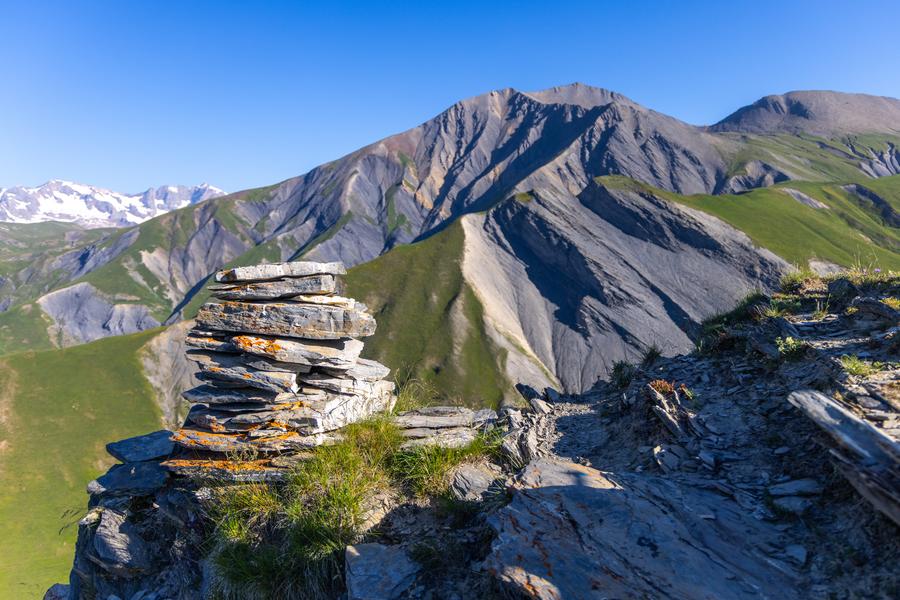
Starting from the Aiguilles d’Arves mountain hut, the trail climbs through the alpine pastures to the Combe du Puy before reaching the Col de l’Épaisseur (2,891 m). After following the ridge, the trail crosses the Passage de l’Épaisseur, an exposed section offering magnificent panoramic views of the surrounding peaks. The descent continues through boulders, high-altitude trails, and streams to Plan Pradin. The path then follows the ridges of the Tête de Chat and the Basse du Gerbier before gradually descending through the alpine pastures toward the Chalet du Perron. This wild, alpine stage alternates between off-trail sections, rocky terrain, and vast pastoral landscapes, with remarkable views of the Aiguilles d’Arves and the valleys of Saint-Jean-d’Arves.Good plans : Precautions: - Find out about weather conditions before you leave. - Inform someone of your itinerary, as communication may be limited. - Choose a morning departure to avoid being surprised by nightfall - The routes you take are your own responsibility. - Choose an itinerary suited to your physical and technical ability. If in doubt, contact mountain professionals. - Make sure you're properly equipped to hike safely and cope with the vagaries of the weather. - This hike is best done in summer when there's no more snow. - Passage through scree just before arriving at the refuge. There are a few things you can do to make your hiking experience safer and more enjoyable. Walking poles improve balance, and regular hydration is essential. Carry a water bottle and snacks to keep your energy up. Protect yourself from the sun with sunscreen and sunglasses. Don't forget binoculars to add a touch of observation to your adventure. These small adjustments will help you get the most out of your getaway.Delicate passages : Caution – Technical Section at Col de l’Épaisseur
The Col de l’Épaisseur section is the most challenging part of the Tour des Aiguilles d’Arves. Only experienced hikers, accustomed to navigating varied terrain and mountainous conditions, should attempt this route, provided weather and snow conditions are favorable.
To reach Plan Pradin from the Col de l’Épaisseur on the Albiez-Montrond side, the route follows a very steep scree slope on unstable terrain. This section requires sure-footedness, good physical condition, and experience navigating difficult terrain.
Rockfalls may occur in this area. For this reason, the passage is not recommended for large groups to minimize the risk of triggering rockfalls that could endanger hikers below.
Before setting out, be sure to check the trail conditions. Snowfields may persist into summer, making the crossing difficult or even dangerous.
If you are not accustomed to this type of terrain, it is strongly recommended that you hire a mountain guide or a professional guide.Admission fee : Free access.Opening : From 15/06 to 15/09 daily.
Subject to favorable snow and weather conditions.Step by step description : Climb above the refuge along a mountain pasture trail to the marker at Sous l’Aiguille de l’Epaisseur. Turn right and cross an area of large boulders to reach the Combe du Puy. Hike up the bottom of the valley, following the cairns, to reach the Col de l’Epaisseur. Follow the ridge to the right until you reach the Passage de l’Epaisseur. Descend through the passage, keeping your distance from the cable on the right. Follow the iron stakes to a flat area among large boulders. Continue the descent following the yellow markings until you reach a grassy section and then the Plan Pradin marker. Then turn left onto a trail that crosses several streams. Below the Tête de Chat, turn right and follow the ridge to the Basse du Gerbier. Turn left to descend along a ridge to the La Crête sign. Continue descending to the Col, then turn right to descend through the alpine pastures to the Chalet du Perron.
Report a problem
Website
Add your time and share your feelings
Services nearby

Refuge des Aiguilles d'Arves
Valloire

La Ferme des Etroits - Commerce de produits régionaux
Bonnenuit

La Ferme des Etroits - Commerce de produits régionaux
Bonnenuit

La Ferme des Etroits - Commerce de produits régionaux
Bonnenuit

La Ferme des Etroits - Ferme Auberge
Hameau de Bonnenuit


Information updated on 2026-09-04 by Office de Tourisme de Valloire


Follow us on
the digital trails
the digital trails





Valloire Tourist Office
210 rue des Grandes Alpes - 73450 Valloire
+33(0)4 79 59 03 96
Office de Tourisme
Contact mail
 Valloire Galibier Expériences - Parcours - 3-Pass Loop - Stage 2 - Refuge des Aiguilles d'Arves / Chalet du Perron
Hello, world! This is a toast message.
Valloire Galibier Expériences - Parcours - 3-Pass Loop - Stage 2 - Refuge des Aiguilles d'Arves / Chalet du Perron
Hello, world! This is a toast message.
Valloire Galibier Expériences - Parcours - 3-Pass Loop - Stage 2 - Refuge des Aiguilles d'Arves / Chalet du Perron
Hello, world! This is a toast message.


OK
Annuler