Route 4 - La trace du loup
Add to my favorites

The route is being signposted. Opening in a few days...
Route opened

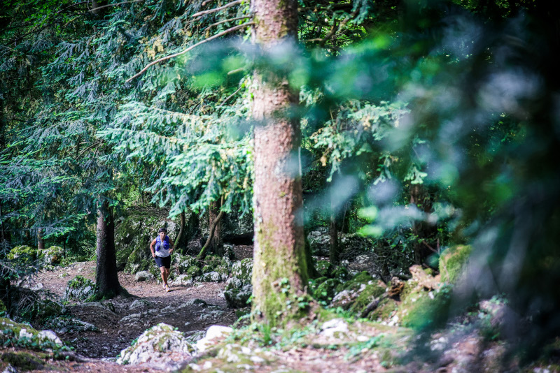
This very varied itinerary will take you to the foothills of the Epine massif. The first kilometre on the road will allow you to warm up quietly before joining very playful forest paths where the changes of speed will offer a very playful setting to the run. The last two kilometres are through more open spaces, along a small and pleasant stream.
The characteristics of the route.

Nances (73)
- Distance 7.3 km
- Elevation gain 170 m
- Elevation lost 170 m
- Min. elevation 375 m
- Max. elevation. 509 m
- Duration (depending on pace) 0h45 à 1h30
- Marking Trail-running n°4 green + hiking signs
Report a problem Add a comment
Pdf file - Route 4 Cecile
finished in 00:55:00
The 2023/04/19
En savoir plus
Ajouter votre chrono et partager vos sensations
Services nearby

Rental of mountain bikes
Nances

Via ferrata equipment rental
Nances

Pleasure boat rental (Vertes Sensations)
Nances

Electrically-powered mountain biking around Lac d'Aiguebelette
Nances

Water craft hire (Vertes Sensations)
Nances
OK
Annuler


