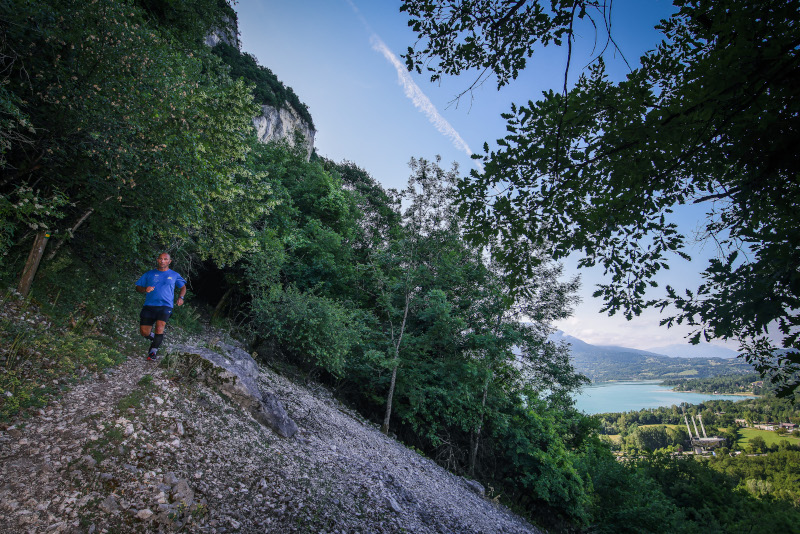
After a first warm-up between roads and trails, you will take the Côtes de Nances footpath overlooking the lake and will pass in the natural reserve of the Lake of Aiguebelette. Then, you will evolve in a wild environment on a technical path reserved for experienced trailers. Your effort will be rewarded by an exceptional 180° panorama of the lake at km5. The rest of the course will take place on alternating paths and tracks on the Epine massif, which are very pleasant to run on, offering frequent changes of speed and making the run fun. After reaching the Crucifix pass, you will come back down to Aigueblette-le-Lac by the old Roman road.

- Distance 16.7 km
- Elevation gain 730 m
- Elevation lost 730 m
- Min. elevation 407 m
- Max. elevation. 1025 m
- Duration (depending on pace) 2h à 4h
- Marking Trail-running n°7 blue + hiking signs
Caution : Pass through the Lac d'Aiguebelette nature reserve from km 4 to km 8. Respect the regulations of this protected area.