Challenge - La verticale du Molosse
Add to my favorites

Route closed
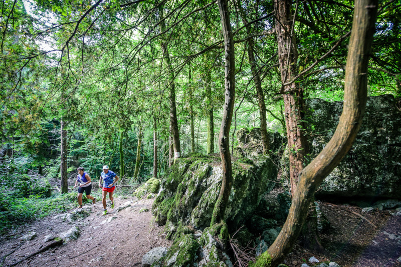
Challenge yourself on this vertical route starting from Attignat-Oncin. A difficult climb, with steep slopes in places, in the footsteps of the Mont Grêle trail, an event that uses this climb.
A climb of more than 700m+ on which you will be able to time yourself thanks to the Aiguebelette outdoor mobile app and the DéfiTrail markers positioned on the route. You will be able to compare yourself with the best times and move up in the ranking.
The podium
Place on
the podium...
the podium...
Place on
the podium...
the podium...
Place on
the podium...
the podium...
No chrono ? Be the first !
The characteristics of the route.

Attignat-Oncin (73)
- Distance 3.41 km
- Elevation gain 750 m
- Elevation lost 10 m
- Min. elevation 618 m
- Max. elevation. 1357 m
- Duration (depending on pace) 0h45 à 1h40
- Marking Trail-running markers n°16
Report a problem
Website Services nearby

Vivre à vélo
Lépin-le-Lac
Fishing: permits, hire of small craft
Lépin-le-Lac
Boat rental at Aiguebelette-le-Lac Leisure base
Aiguebelette-le-Lac
Leisure base of the port: electric boat rentals
Aiguebelette-le-Lac
Plage du Sougey : locations nautiques
Saint-Alban-de-Montbel


 Espace outdoor du Lac d’Aiguebelette - Parcours - Challenge - La verticale du Molosse
Hello, world! This is a toast message.
Espace outdoor du Lac d’Aiguebelette - Parcours - Challenge - La verticale du Molosse
Hello, world! This is a toast message.
Espace outdoor du Lac d’Aiguebelette - Parcours - Challenge - La verticale du Molosse
Hello, world! This is a toast message.


OK
Annuler