
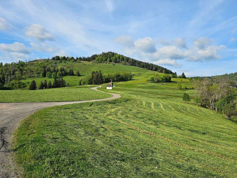
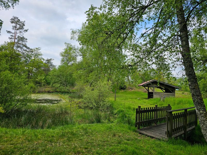
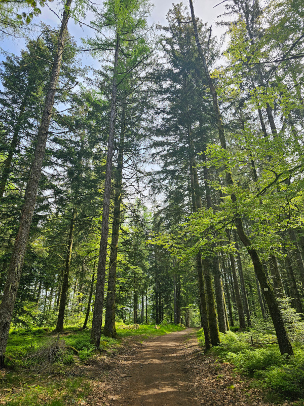
This route starts with a superb initial climb through the woods above Le Thillot. After a few beautiful twists and turns in the forest, the pond and the Chaillon shelter offer a welcome break before continuing on to the highlight of the day: the Pic des Corbeaux, with its superb panorama. The climb continues as far as Draimont before a rolling descent that allows you to lengthen your stride. A final effort below the Pic, then it's back to Le Thillot to conclude this short but demanding outing.

- Distance 9.44 km
- Elevation gain 470 m
- Elevation lost 470 m
- Min. elevation 514 m
- Max. elevation. 830 m
- Duration (depending on pace) 1h10 à 2h20
- Suivre le balisage Trail-running + Hiking

Find all the routes of the Espace Trail des Ballons des Vosges free of charge on your smartphone using Trail Connect app, in ‘Outdoor Destinations’ section.
Features available :
- Geolocation at any time on the map and elevation profile
- Download data for consultation even in offline mode
- View trail opening status
- Download GPX file
- 'Go to start’ button for easy access to the start of the routes
- ...


the digital trails

![]()
Office de tourisme Communautaire
des Ballons des Hautes Vosges
www.ballons-hautes-Vosges.com
03 56 11 00 90
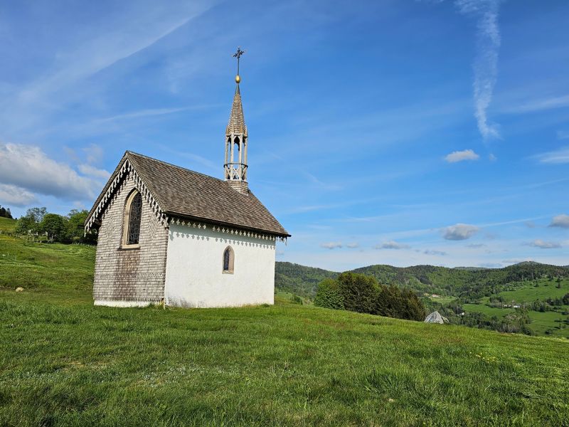
 Espace Trail des Ballons des Vosges - Parcours - Route 1 - La Chapelle des Vés
Espace Trail des Ballons des Vosges - Parcours - Route 1 - La Chapelle des Vés
Espace Trail des Ballons des Vosges - Parcours - Route 1 - La Chapelle des Vés
Espace Trail des Ballons des Vosges - Parcours - Route 1 - La Chapelle des Vés
Espace Trail des Ballons des Vosges - Parcours - Route 1 - La Chapelle des Vés

